
Water Quality
Featured Science | Harmful Algal Blooms in the Columbia River
We are merging remote and field methods to predict conditions associated with harmful algal blooms near the Tri-Cities, Washington.
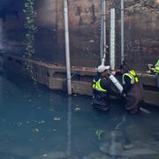
Featured Science | Sources of Mercury in Sinclair Inlet
We are examining how mercury from contaminated sediment enters nearshore marine waters.
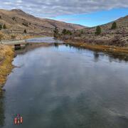
Featured Science | Transboundary Water Quality Monitoring in Washington State
We are monitoring the water quality of rivers that cross the U.S.-Canadian border.
What’s in the water? The USGS Washington Water Science Center answers this question by monitoring water quality conditions throughout the region. Our studies help predict potential changes and risks to water quality. We develop predictive models, novel sampling techniques, and multidisciplinary studies.
Drinking Water
We all rely on water. Ensuring an ample supply of pure, healthy drinking water is of critical importance. The Washington Water Science Center researches drinking water to help communities protect this resource. We evaluate water availability and monitor for contaminants.
Environmental Contaminants
Contaminants are substances that have the potential to negatively impact human and ecosystem health. These chemicals make it into water and can have a detrimental effect on fish and other aquatic species. We study connections between contaminants in water, sediment, and aquatic species. This knowledge helps managers and communities protect human and ecosystem health.
Nutrients
Nutrients are chemical components in water that are used by living organisms. Nutrient levels can provide useful information about the health of the ecosystem and help determine whether the water is safe for people to drink. The USGS monitors and researches many types of nutrients in water.
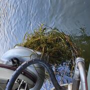
Water Stargrass in the Lower Yakima River
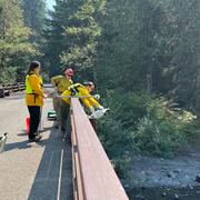
Bear Gulch Fire Water Quality Monitoring
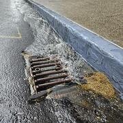
Integrating Stormwater Drainage into USGS StreamStats Application for the Duwamish and Lower Green River
Green River Sediment Monitoring
Carbon in Urban River Biogeochemistry Project
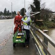
Transboundary Water Quality Monitoring in Washington State
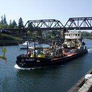
Lake Washington Ship Canal Sustainable Rivers Project

Characterizing water and sediment quality to support watershed management and fish hatchery operations near Clarks Creek, WA

Integration of Urban Stormwater Infrastructure in Modeling Water Quality Patterns in Small Urban Streams

Mapping ecohydrological headwater refugia

Water temperature modeling in Mount Rainier National Park
