






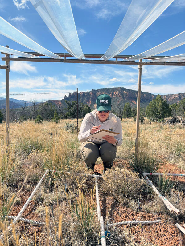
A USGS scientist collects plant data at a long-term study site to understand drought impacts on Colorado Plateau grasslands
A USGS scientist collects plant data at a long-term study site to understand drought impacts on Colorado Plateau grasslandsA USGS scientist collects plant data at a long-term grassland study site underneath a drought shelter that excludes ~30% of incoming precipitation as part of a study to understand drought impacts on Colorado Plateau rangelands. Photo taken April 2025. The shelter was installed in 2010.


