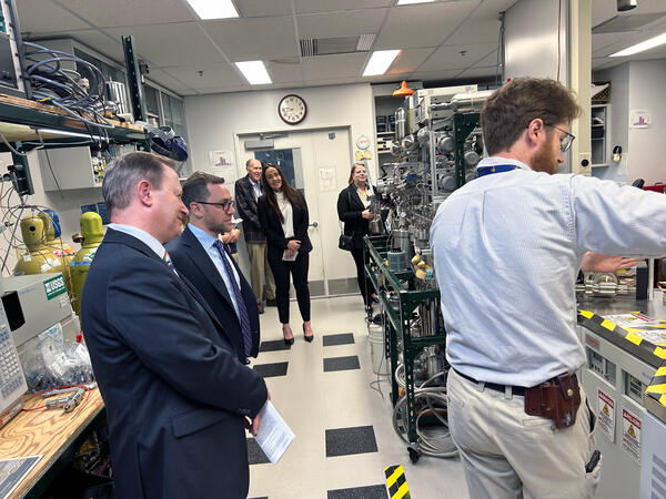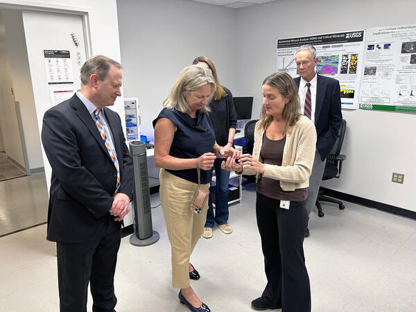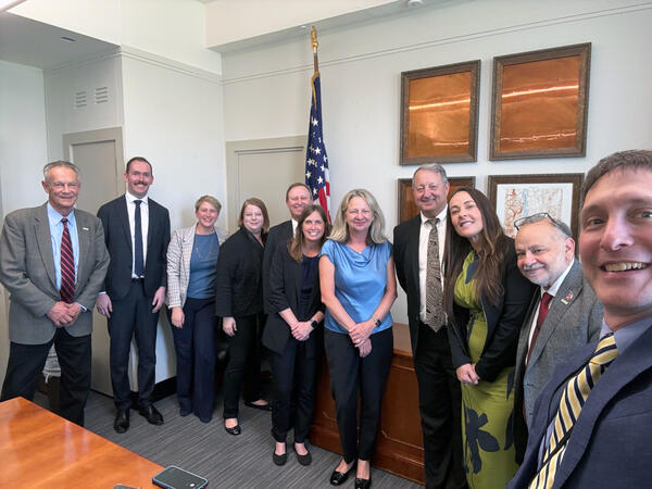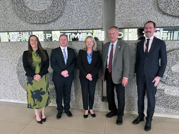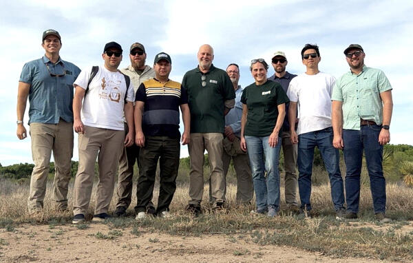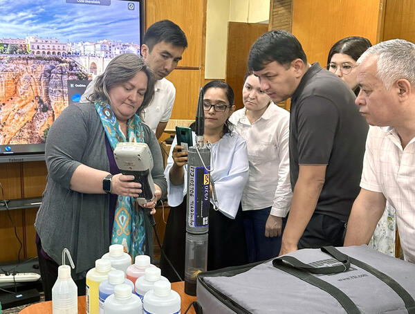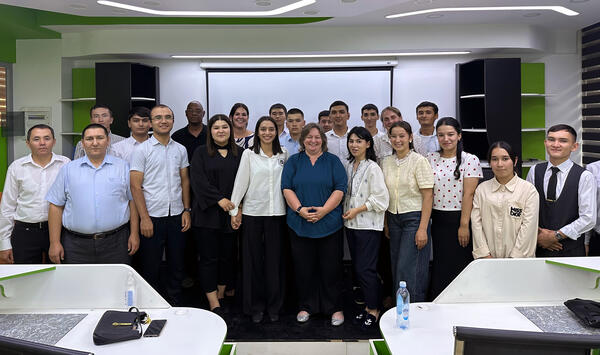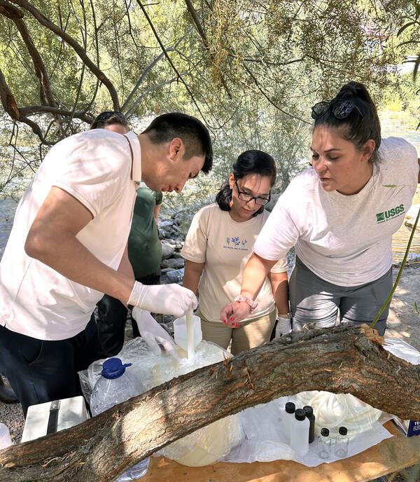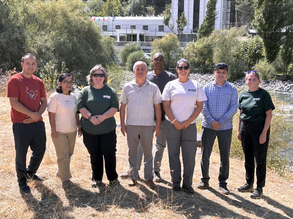
USGS and Kazakhstan researchers meet at the USGS Boise campus
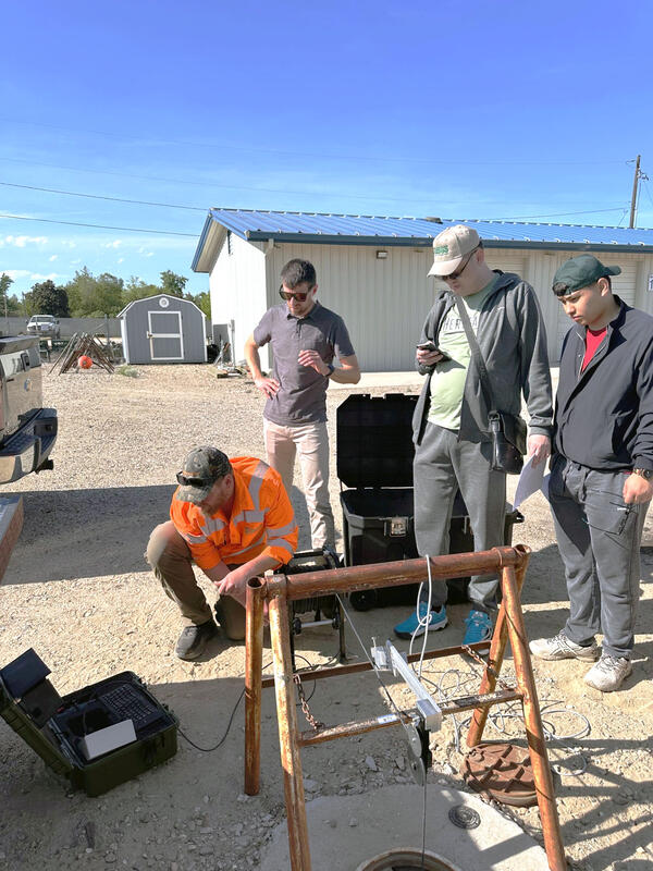
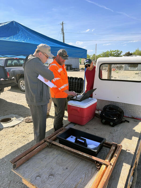
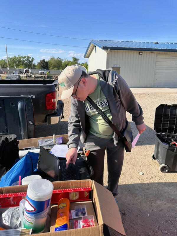
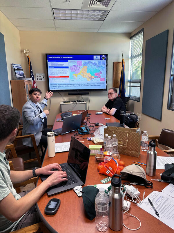
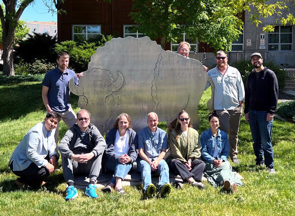
USGS and Kazakhstan researchers meet at the USGS Boise campusResearchers from the U.S. Geological Survey and the Ministry of Water Resources and Irrigation of the Republic of Kazakhstan gather on the USGS Boise campus during a week‑long scientific and technical exchange focused on groundwater monitoring network modernization.