Kafrein reservoir captures runoff near the Dead Sea, Jordan
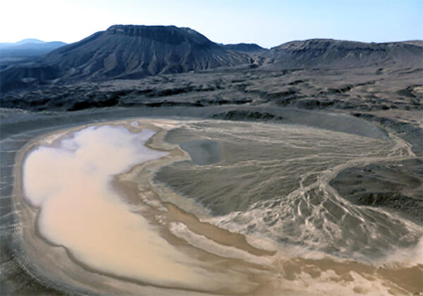
Kafrein reservoir captures runoff near the Dead Sea, JordanThe Kafrein Dam captures runoff from Jordan River side valley wadis, near the Dead Sea, Jordan. USGS hosted a field trip that included a stop at the dam in February, 2017 during a regional workshop on aquifer storage & recovery in the Middle East and North Africa (MENA) region, in cooperation with the U.S. Agency for International Development.