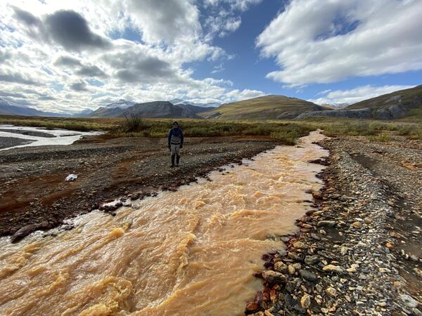
Mineral precipitates in mine tunnels may provide information on the paths of groundwater that discharge into the tunnels
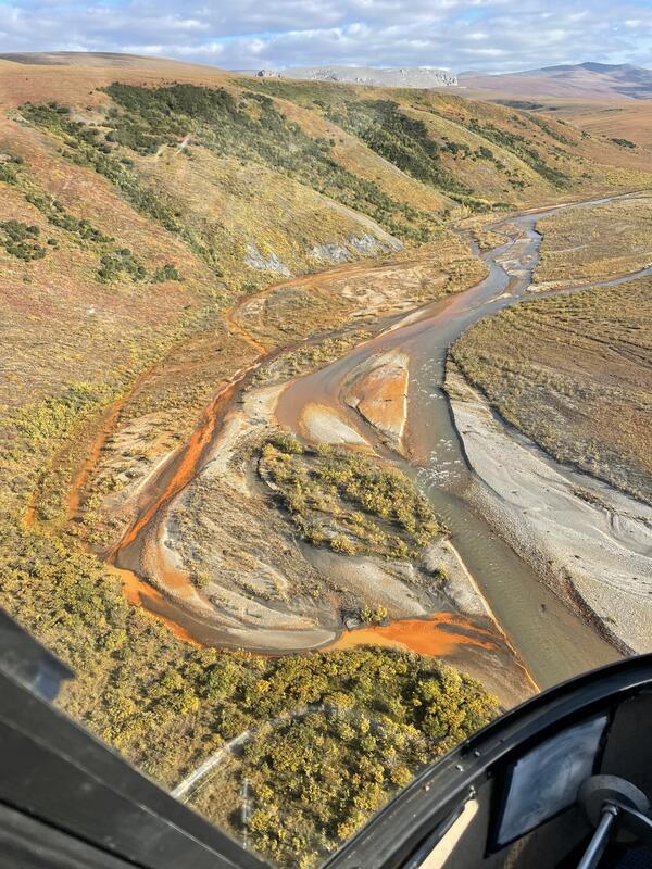
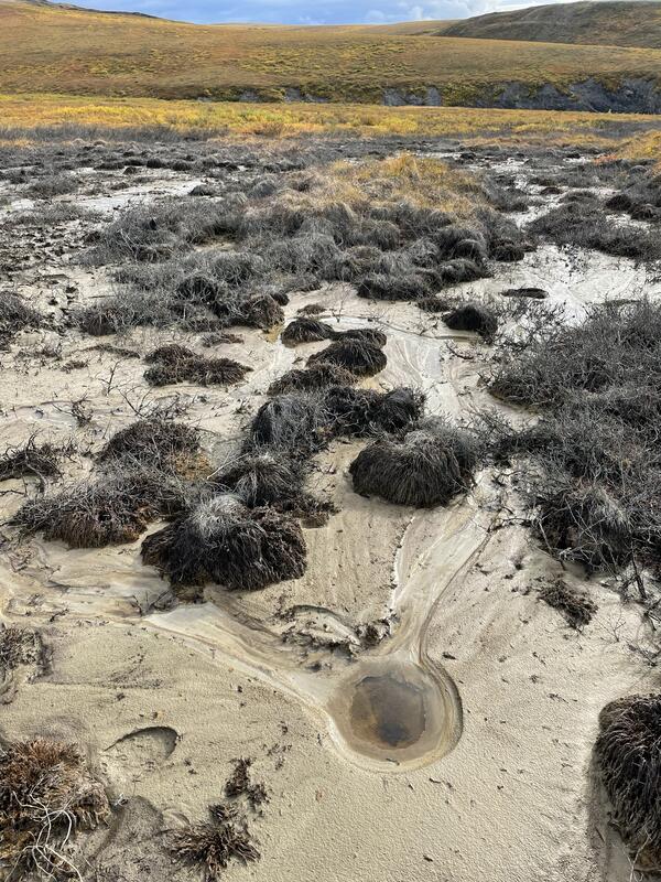
Mineral precipitates in mine tunnels may provide information on the paths of groundwater that discharge into the tunnelsMineral precipitates in mine tunnels, such as the copper-rich minerals in this mine in Oregon, may provide information on the paths of groundwater that discharge into the tunnels, informing strategies for metal recovery and potential remediation.