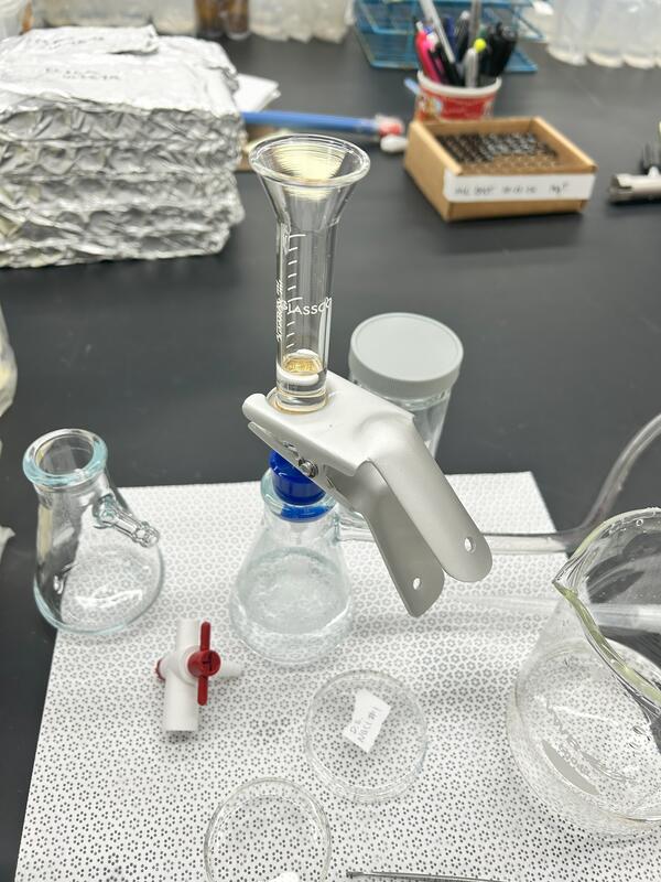
USGS scientist working on a high resolution mass spec
USGS scientist working on a high resolution mass specPhoto taken of a USGS scientist working on PFAS analyses in front of her mass spectrometer within a laboratory.
An official website of the United States government
Here's how you know
Official websites use .gov
A .gov website belongs to an official government organization in the United States.
Secure .gov websites use HTTPS
A lock () or https:// means you’ve safely connected to the .gov website. Share sensitive information only on official, secure websites.
See our science through the images below.
Photo taken of a USGS scientist working on PFAS analyses in front of her mass spectrometer within a laboratory.
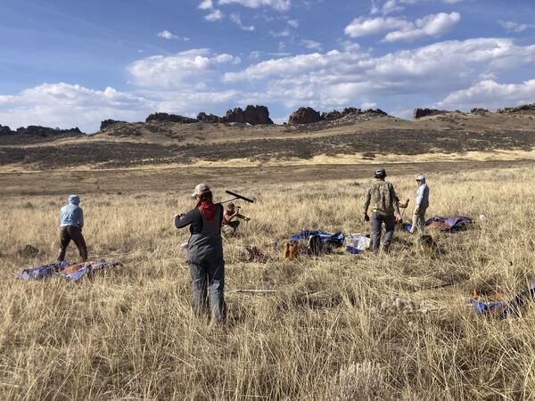
A USGS field crew working on soil sampling, plant community monitoring, and soil water infiltration in the Colorado 'front range.'
Cyanobacteria bloom in a shallow Michigan lake during the fall of 2024. Photo by Leon Katona
USGS scientists dig small ‘micro pits' to collect soil for testing. The team is careful to minimize the impact to the environment. Soil is stored on a tarp while sampling so it can be returned to the pit afterwards.
A USGS scientist prepares a mini-disc infiltrometer to assess soil water infiltration. The degree to which water can infiltrate soil is closely tied to soil carbon content.
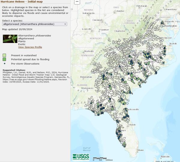
Screenshot of USGS FaST map showing potential spread of alligatorweed to new locations following Hurricane Helene.
USGS scientists identifying plant community composition in Larimer County, Colorado. Information on plant community composition is critical for understanding differences in soil carbon-responses to exotic annual grass invasion between sites.
A USGS scientist uses the grid-point intercept method to characterize plant communities in Larimer County, Colorado. The grid-point intercept method uses points along a grid to sample plant species or ground cover within a larger plot.
Desert marigold (Baileya multiradiata) blooming in a monitoring quadrat at a RestoreNet site in Northern Arizona. Photo by Laura Shriver (USGS).
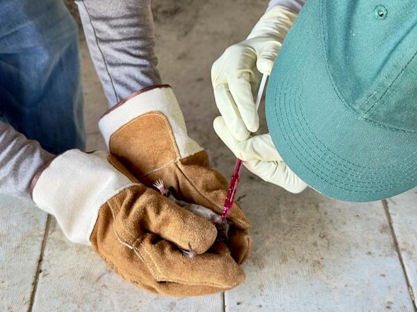
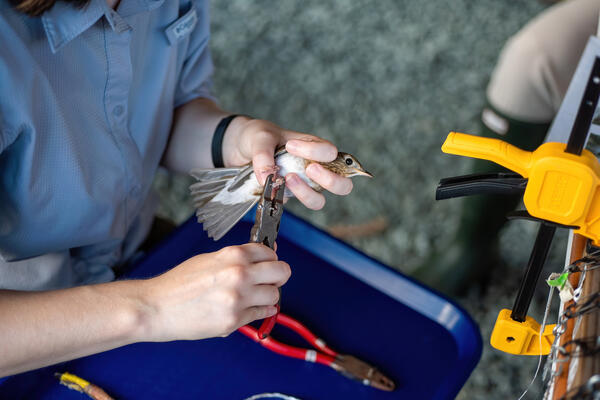
A member of the USGS Bird Banding Laboratory attaches a band to a bird during the Fall Banding Station.
In streams affected by acid mine drainage, inflows of diffuse groundwater (nearly invisible to the eye) can substantially control metal mobility, such as in this photo where copper minerals are precipitating along a reach of stream where groundwater with a distinctive composition flows into the stream.
Mineral precipitates in mine tunnels, such as the copper-rich minerals in this mine in Oregon, may provide information on the paths of groundwater that discharge into the tunnels, informing strategies for metal recovery and potential remediation.
Laboratory research: Bioelectrochemical system for critical mineral recovery from mining by-products.
2024 USFWS Fire Employee Photo and Video Contest - Landscape Category The Rail Ridge Fire burns in the distance in Oregon.
Tailings piles at abandoned mine sites can be reprocessed to recover critical minerals and rare earth elements.
USGS Biological Science Technician Claudia Dimartini poses with a long camelthorn (Alhagi maurorum) rhizome (underground root structure from which new plants can propagate that was exposed in a wash at the Deadman Wash Confluence Area. Photo by Laura Shriver (USGS).
Sarah Costanzo (USGS) collects soil stability data prior to installing RestoreNet version 2.0 treatments at Canyonlands Research Center near Moab, UT. Photo by Laura Shriver (USGS).
Laura Shriver at the soil and restoration science booth at the USGS Flagstaff Science Center Open House. The booth included native seeds, biocrusts, a soil texturing activity, and science brief handouts.
Montana is known for its fishing opportunities, especially its cold-water trout fishing. Here, someone is fishing in Big Hole River, Montana.
The Ruby River is a tributary of the Beaverhead River and anglers enjoy trout fishing here.
Autonomous environmental DNA (eDNA) sampler in protective housing on the shore of Jackson Lake, Grand Teton National Park. The USGS READI-Net project and eDNA samplers like this one can assist the park in detecting aquatic invasive species, like quagga mussels.