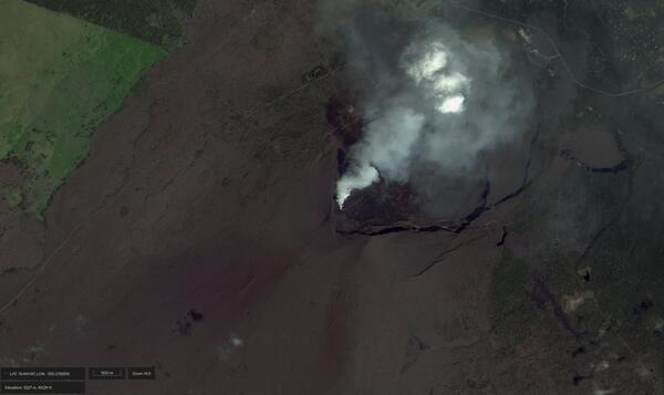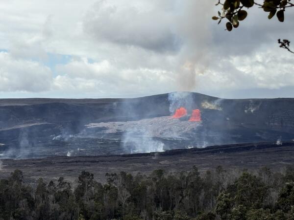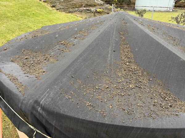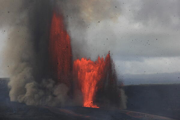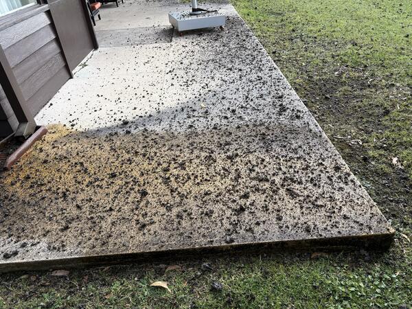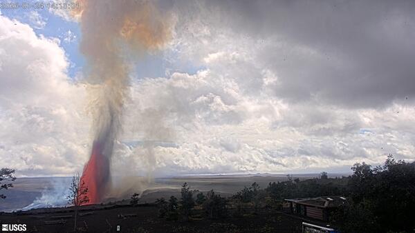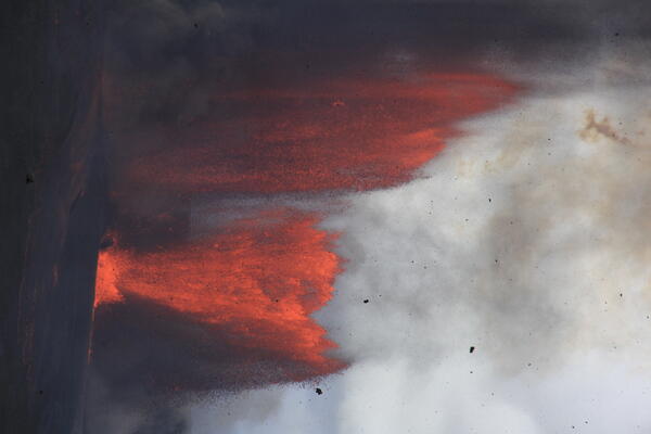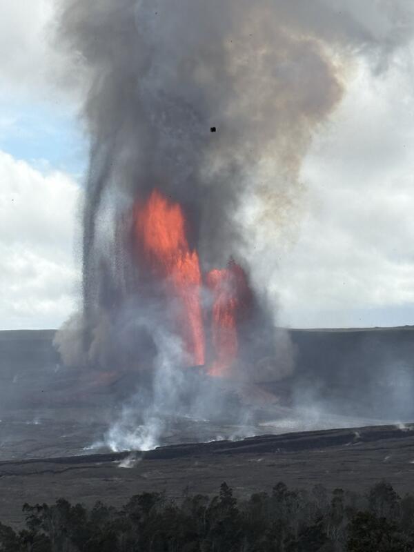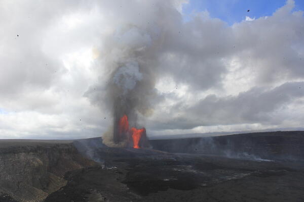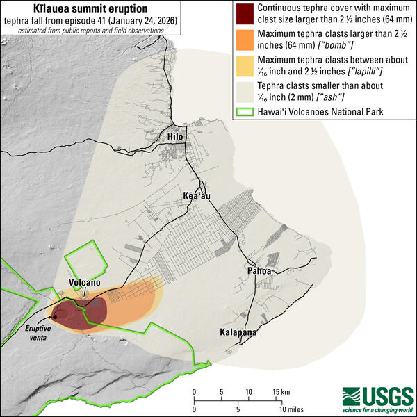
January 29, 2026—Summary map of tephra fall after episode 41 lava fountaining at the summit of Kīlauea
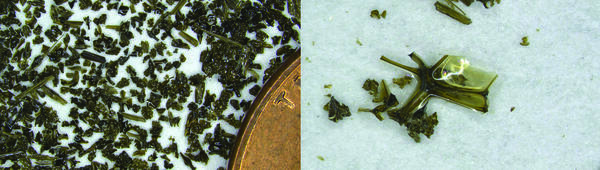
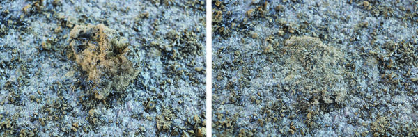
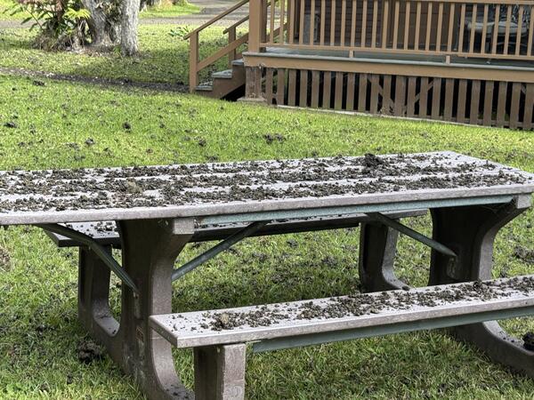
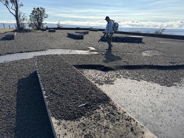
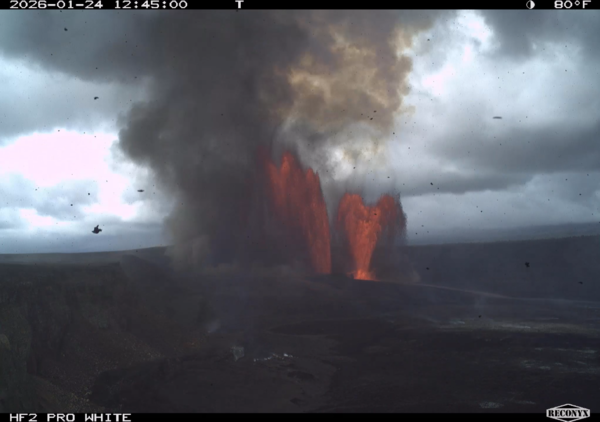
January 29, 2026—Summary map of tephra fall after episode 41 lava fountaining at the summit of KīlaueaThis map shows the tephra fall associated with episode 41 of Kīlauea's episodic summit eruption, on January 24, 2026. Tephra is a generic word for any material erupted by a volcano that travels through the air before landing on the ground.