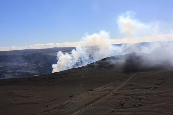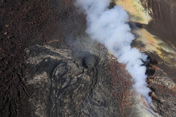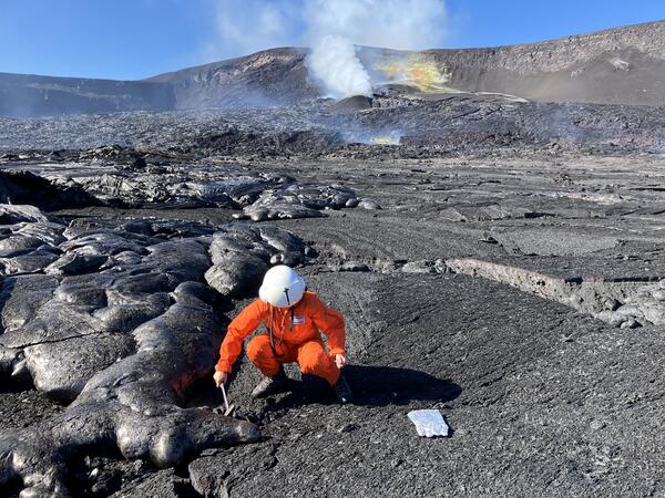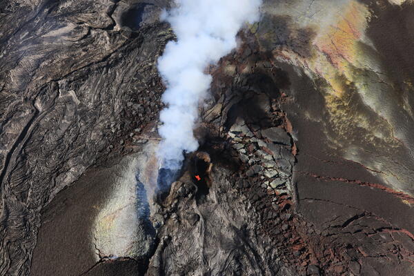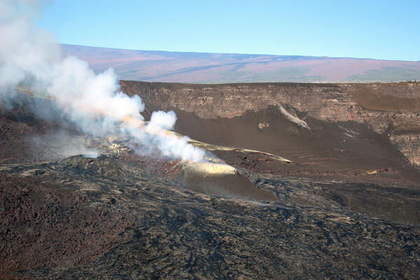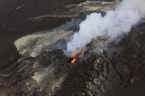
November 25, 2025—Kīlauea summit eruption episode 37 lava fountains
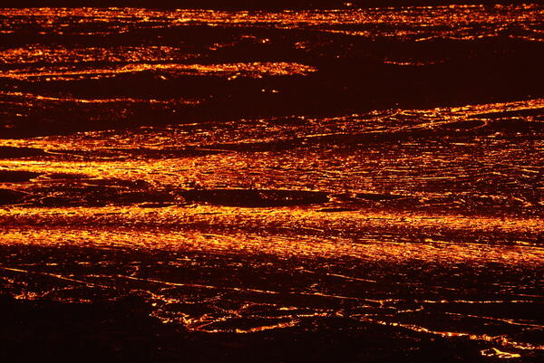
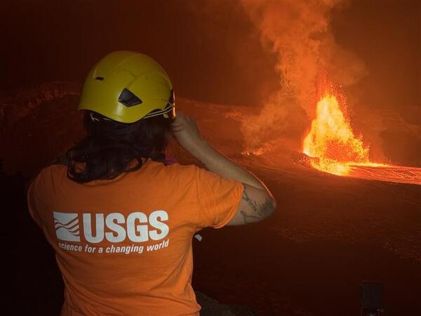
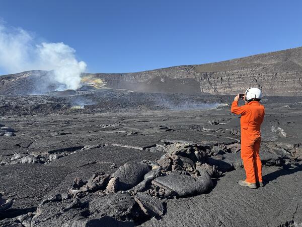
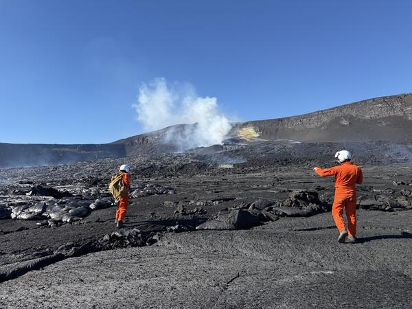
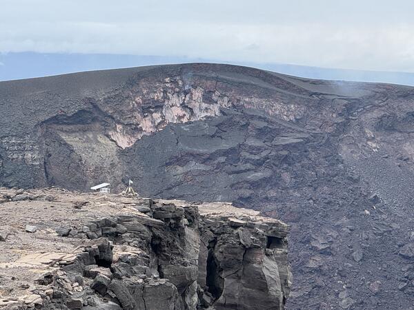
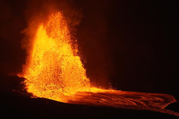
November 25, 2025—Kīlauea summit eruption episode 37 lava fountainsFollowing several days of precursory overflows and low dome fountaining, episode 37 of the Kīlauea summit eruption began yesterday at 2:30 p.m. with lava fountaining from the north vent. A wide fountain developed, eventually reaching heights of 500-600 ft (150-180 meters), sending flows across a broad portion of the crater floor.