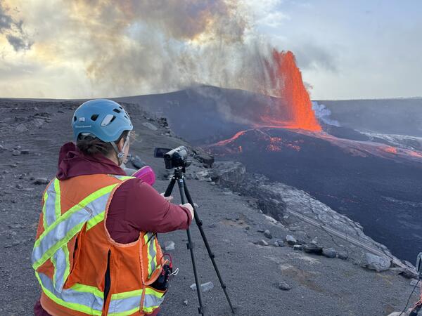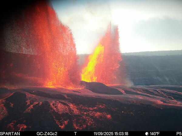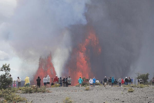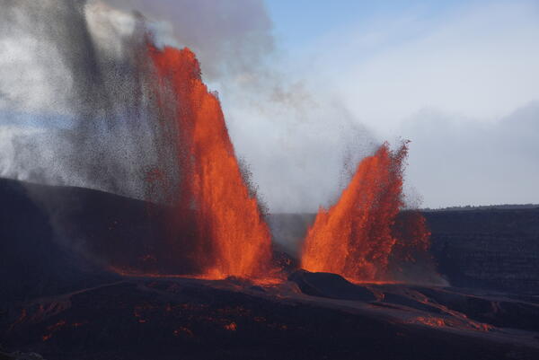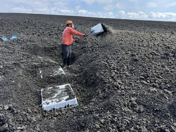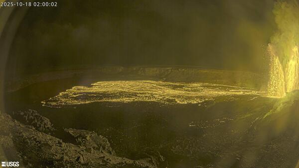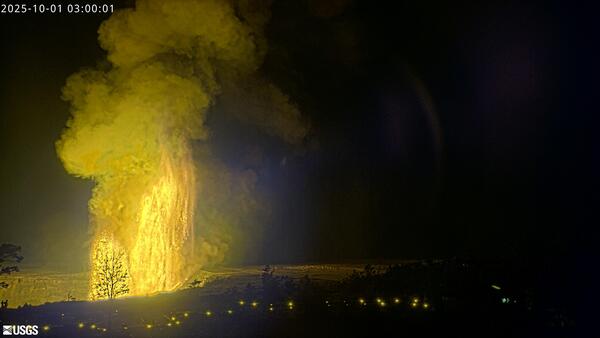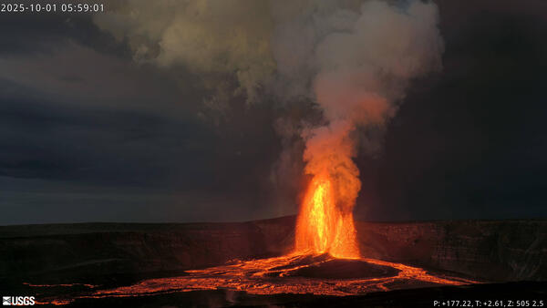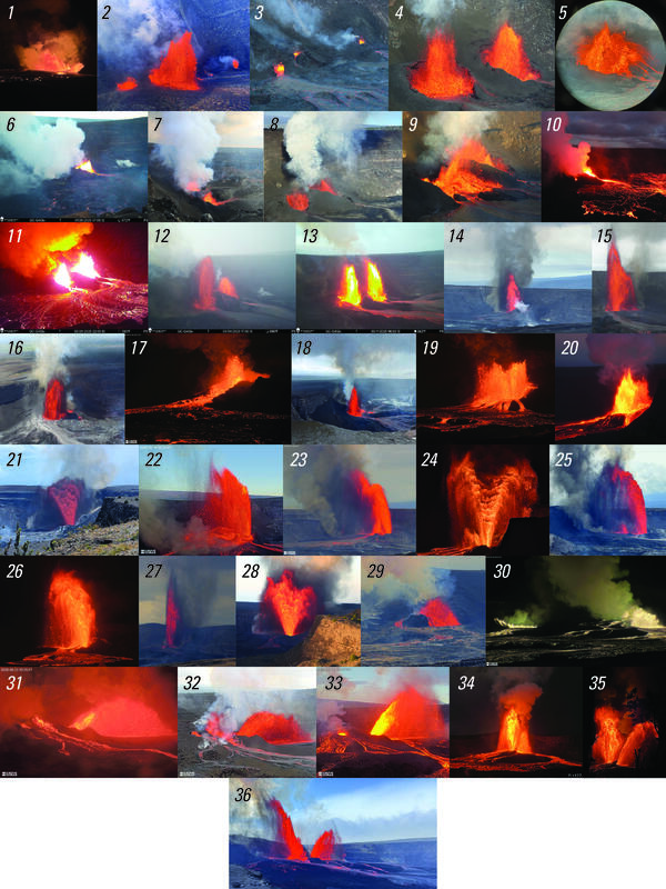
Photo compilation of episodes 1–36 of the ongoing eruption at the summit of Kīlauea
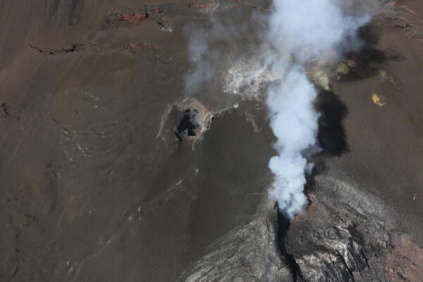
Photo compilation of episodes 1–36 of the ongoing eruption at the summit of KīlaueaPhoto compilation of episodes 1–36 of the ongoing eruption at the summit of Kīlauea, including webcam imagery and photos taken by USGS Hawaiian Volcano Observatory scientists on the ground and during helicopter overflights. In all photos except for episode 7, the south vent is on the left and the north vent is on the right.