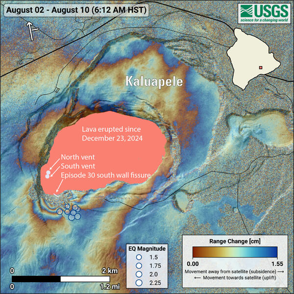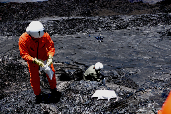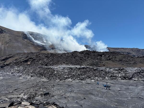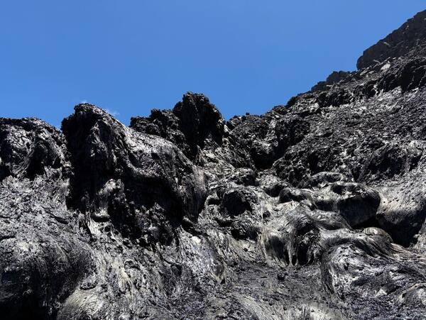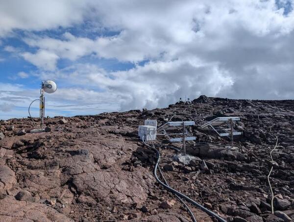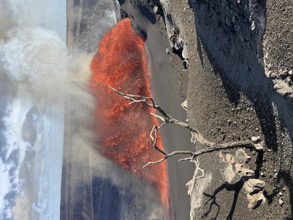
August 22, 2025 — Episode 31 of the eruption at the summit of Kīlauea
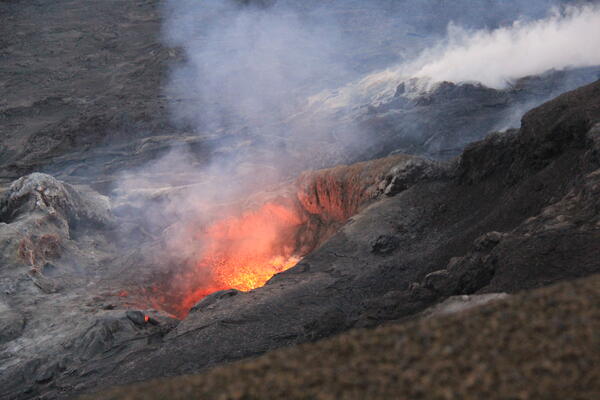
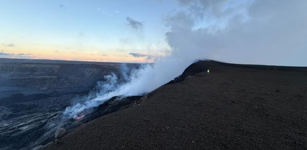
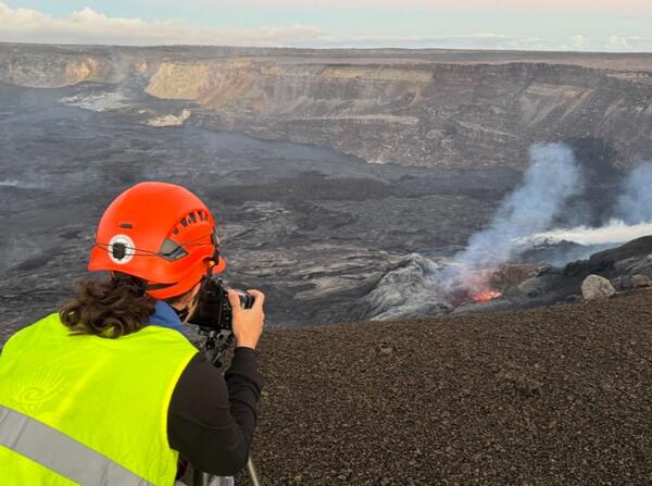
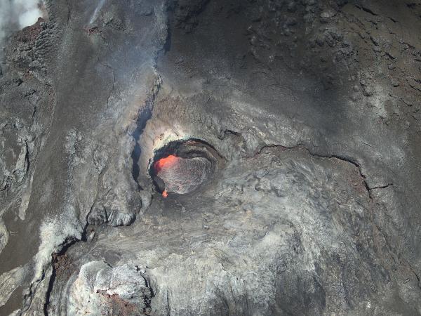
August 22, 2025 — Episode 31 of the eruption at the summit of KīlaueaEpisode 31 fountains began at 2:04 p.m. HST, after spattering was visible overnight along with several sluggish lava flows from the north vent. After episode 31 started, lava fountains steadily grew in size to over 325 feet (100 m). The fountains exited the north vent at a 45-degree angle and would be over 500 feet high if they were straight up.