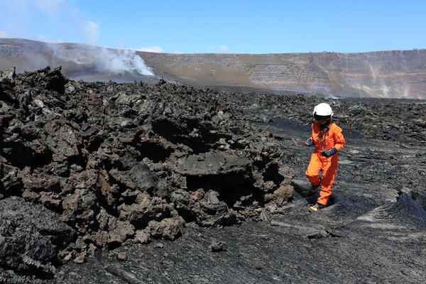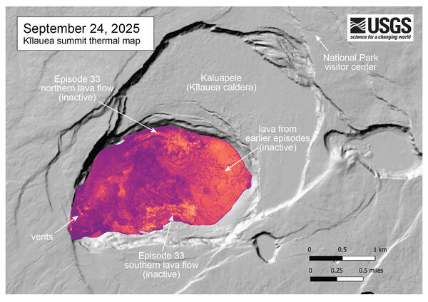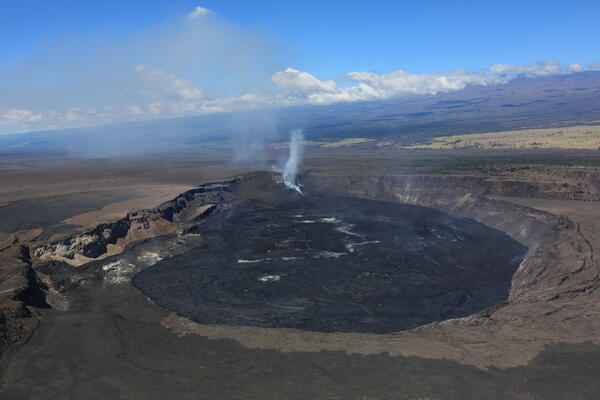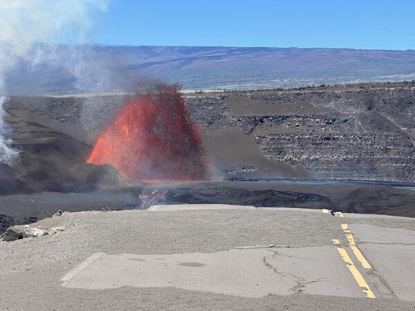
September 24, 2025 — Scientist services monitoring station at Kīlauea volcano
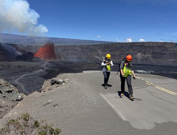
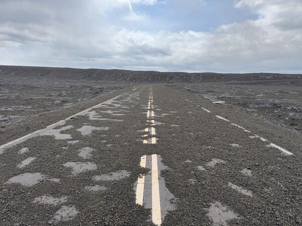
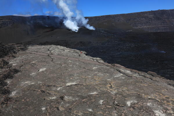
September 24, 2025 — Scientist services monitoring station at Kīlauea volcanoOn September 24, 2025, a USGS Hawaiian Volcano Observatory scientist serviced a monitoring station at Kīlauea volcano. This site is only accessible by helicopter due to the 2018 summit caldera collapse—the road in the photo is an isolated portion of the old Crater Rim Drive, over 100 feet below the current crater rim.