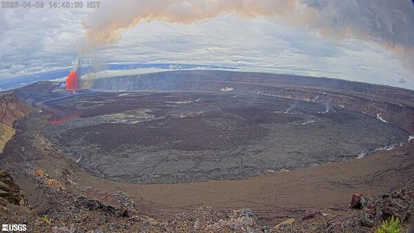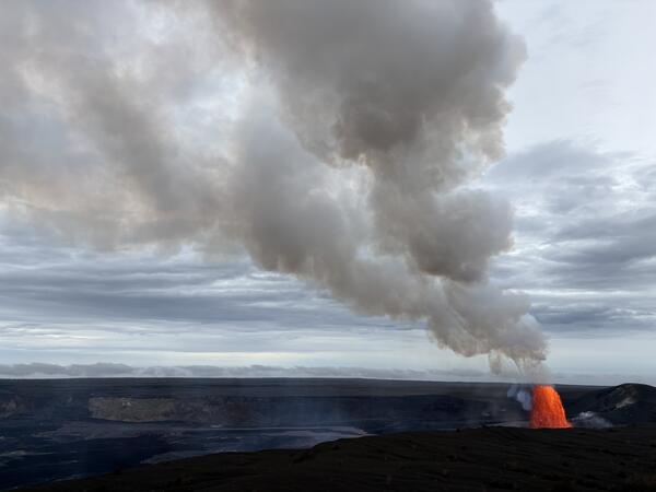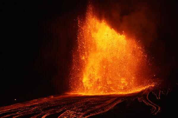
April 23, 2026 — Episode 45 lava fountaining at Kīlauea summit
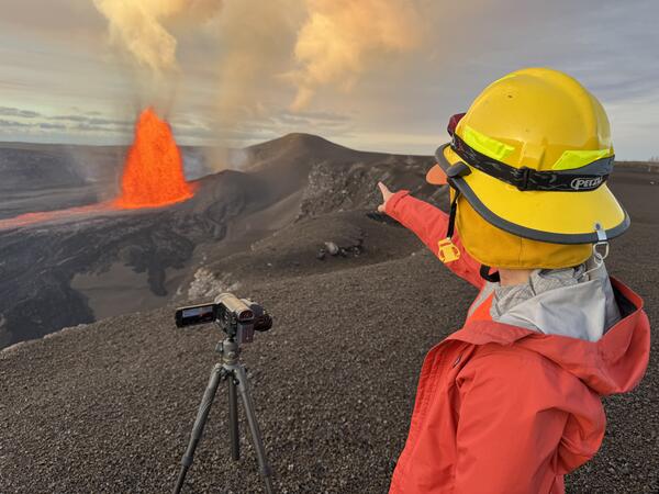
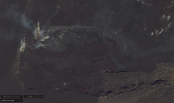
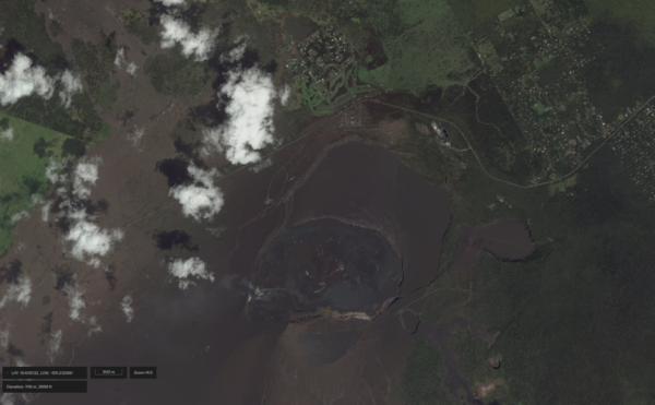
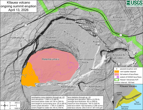
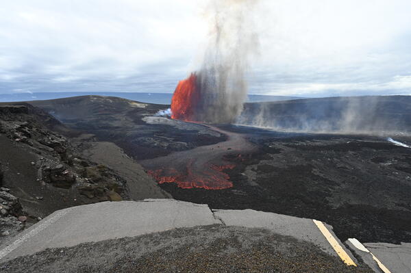
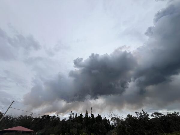
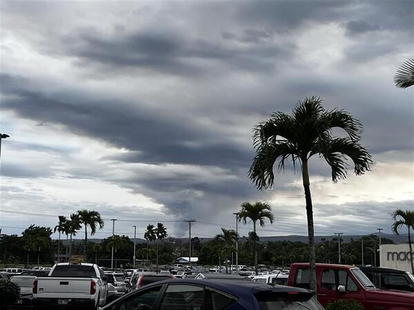
April 23, 2026 — Episode 45 lava fountaining at Kīlauea summitEpisode 45 lava fountaining began around 1:30 a.m. HST on Thursday, April 23, and continued for 8.5 hours. Fountain heights were moderate (mostly under 300 meters, or 1000 feet), and winds carried the tephra away from populated areas, minimizing tephra impacts. The north vent had the sole fountain, with the south vent showing only weak sporadic spattering.