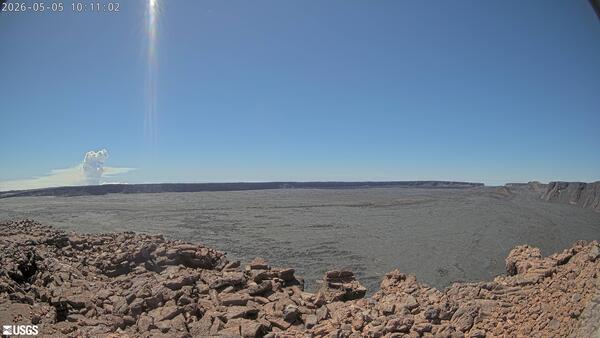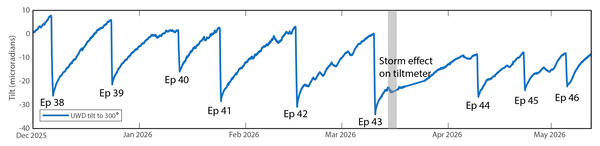
Tilt record from December 1, 2025, to May 12, 2026, for tiltmeter UWD near the summit of Kīlauea
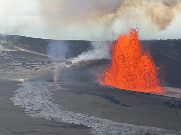
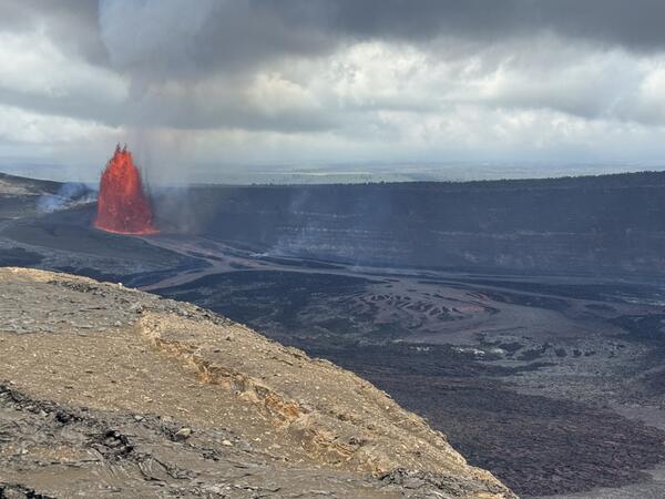
Tilt record from December 1, 2025, to May 12, 2026, for tiltmeter UWD near the summit of KīlaueaTilt record from December 1, 2025, to May 12, 2026, for tiltmeter UWD near the summit of Kīlauea, during which lava fountaining episode 38–46 occurred. Deflationary tilt is shown as a tilt “decrease” and inflationary tilt as an “increase”. Tilt variations during pauses, especially after episode 41, have led to adjustments of the forecast windows.