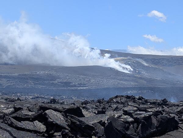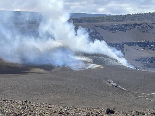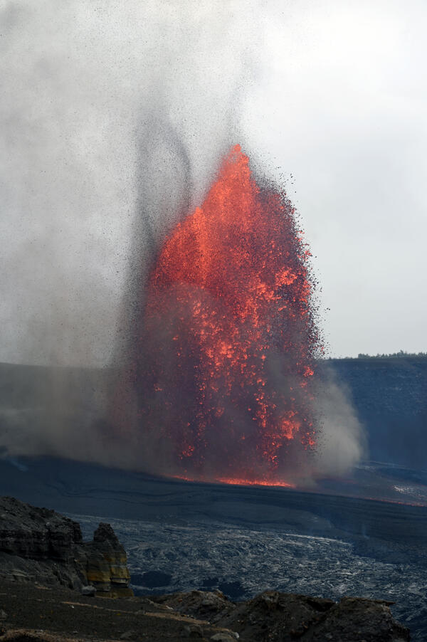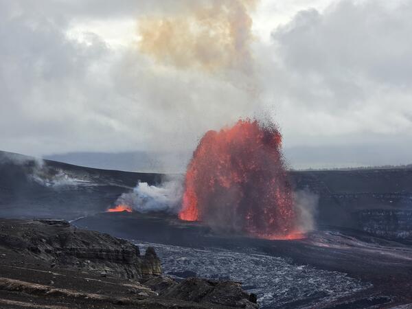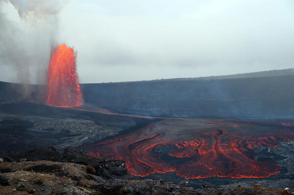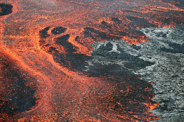
May 22, 2026 — View of Kīlauea summit volcanic plume from downwind
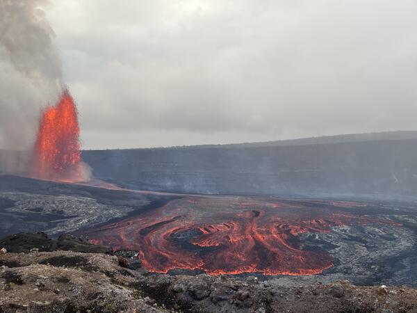
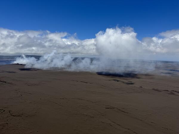
May 22, 2026 — View of Kīlauea summit volcanic plume from downwindA view of the volcanic plume from the degassing north and south vents in Halemaʻumaʻu at the summit of Kīlauea. Trade winds during a USGS Hawaiian Volcano Observatory monitoring overflight on May 22, 2026, transported the plume to the southwest, into the Kaʻū Desert and closed area of Hawaiʻi Volcanoes National Park. USGS photo by K. Mulliken.