U.S. flag

An official website of the United States government

Videos

The USGS National Land Imaging Program supports a variety of geospatial data programs and projects, including the USGS Landsat Program. Browse the videos below to learn more about imagery and science supported through NLI.

Filter Total Items: 80
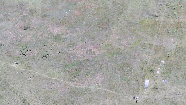
Poster-type image of Earth in the background, an aerial image of land and a water tower with title/logo link
Image of the Week: Aerial Photos of an Image Archive
Text title over a satellite image of river and land link
Image of the Week - Drought in Brazil
Predominantly, an image of Earth, with a satellite image on the left side and text on top of the Earth image link
Image of the Week: No Place for Flamingos on Fuente de Piedra
Field crew sit on boardwalk while collecting UAS methane measurements in Alaska 2023 link
USGS using drones to measure methane escaping Arctic permafrost - Aug 2023
Planet Earth on black background with a few satellites, a logo and white lettering link
USGS EROS: Celebrating 50 Years of Excellence
Drone image captured during almond field mapping in the Central Valley of California link
Drone-based hyperspectral mapping of agricultural crop fields in California's Central Valley
Spherical building with grass. Text reads" The EROS Radome: 20 Things You Didn't Know" link
EROS Radome: 20 Things You Didn't Know
Image of the planet with "Fires in Canada May 2023" written across the top link
Image of the Week: Fires in Canada, May 2023
the world with Landsat image of Tulare Basin. text reads "Tulare Basin refills" link
Image of the Week: Tulare Basin Refills
screenshot of the beginning of the iow brunt ice shelf video link
Image of the Week: A New Iceberg at Brunt
thumbnail of image of the week video link
Image of the Week - Cheyenne Bottoms Dries Out
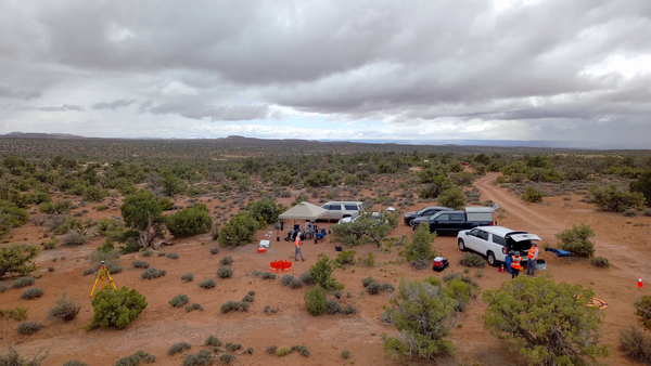
UAS pilot takeoff in Moab, UT link
Mapping biocrust with UAS technology in Moab, Utah
Matrice 600 UAS carrying the methane sensor (left) and Mavic Pro UAS used to collect videos and photos link
Measuring natural methane emissions from bogs using drones in Alaska B-Roll
Illustration of Landsat satellite generations over 50 years link
Landsat: Celebrating 50 Years
link
Image of the Week - Volcano on Spain's La Palma Island
link
Earth Observation User Case Study: Power of the Pixel - 1972 to 2021
link
Earth Observation User Case: Speaking a New Language of Landsat
link
Earth As Art 3
link
Earth As Art 4
link
Image of the Week - Dry Spell Depletes Northern California Reservoirs
link
Image of the Week - 3 Decades of Lithium in Chile