Diagram showing oceanographic and hydrogeologic processes including submarine groundwater discharge on Ofu, American Samoa.
Peter L. Pearsall
Peter is a Science Communications Specialist for the USGS Pacific Coastal and Marine Science Center.
I am a naturalist, writer, photographer/videographer, and public-relations professional with more than a decade of experience working with federal governmental agencies on issues of land use, conservation, and science.
Science and Products
Pacific coastal and marine science of the U.S. Geological Survey in Santa Cruz, California
Diagram showing oceanographic and hydrogeologic processes including submarine groundwater discharge on Ofu, American Samoa.
USGS scientists collect core samples from estuaries, lakes, coasts, and marine environments to study a range of physical and chemical properties preserved in sediment or coral over time. They process and analyze these core samples at the Pacific Coastal and Marine Science Center’s Sediment Core Lab.
USGS science helps to understand the causes and effects of environmental change. Ariana Sutton-Grier is the coordinator of the Climate Research and Development Program, whose scientists focus specifically on environmental changes that have occurred in the past, are taking place now, or will occur in the future.
USGS science helps to understand the causes and effects of environmental change. Scientists in the Climate Research and Development Program focus specifically on these changes, conducting their work across many fields and disciplines throughout the United States and the globe.
Natural hazards are unavoidable. But with proper preparedness, their impact can be reduced. The USGS and its partners work to prepare, monitor, assess, and alert people to the hazards around them. Are you ready if you're affected by a disaster?
A collage of coastal environments used in the Coastal Science Navigator banner. Learn more about the Navigator in the State of Our Nation's Coast project page.
From volcanologists to oceanographers, biologists to paleontologists, the U.S. Geological Survey employs thousands of scientists across the Earth sciences. Each has a unique role in supporting the bureau’s mission of providing “science that matters” to the American people.
The USGS uses a variety of survey tools—including personal watercraft (jet skis) equipped with GPS and sonar—to measure how sandy coastlines change over time. Sandy coastlines are a valuable resource that protect human-made structures from waves, serve as habitat for important species, and provide a variety of recreational opportunities.
Staff from the USGS Pacific Coastal and Marine Science Center Marine Facility engineered a Free Ascent Tripod (FAT) for deployment in deep-sea environments along the Cascadia Subduction Zone.
Monitoring coastal changes is important for the millions of people that live along coasts in the United States, particularly as climate change hastens coastal erosion by raising sea levels and fueling powerful storms.
The Sacramento and San Joaquin Rivers deliver half the amount of sediment they did 50 years ago to San Francisco Bay. Just as sea-level rise is accelerating, the demand for sediment is growing.
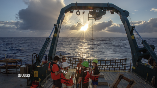
To better understand the geophysical characteristics and seismic history of the Cascadia Subduction Zone, USGS researchers conduct fieldwork at sea to collect evidence of turbidity currents from underwater landslides likely caused by earthquake shaking.
Paleoclimate: Lessons from the past, roadmap for the future
USGS paleoclimate scientists use biological, chemical, and physical materials preserved in the geologic record, called geologic proxies, to investigate past climates.
USGS Science in the American Territories
The United States is more than just the fifty states and the District of Columbia. Five permanently inhabited territories in the Pacific Ocean and the Caribbean Sea are overseen by the U.S. and are home to more than 4 million people, many of whom are American citizens.
Deciphering Nature's Seismograph: How Sediments Record Past Earthquakes and Inform Future Hazard Assessments
People have been recording seismic activity for centuries. To assemble a detailed earthquake history of an area and understand how faults may behave in the future, however, scientists need to go further back in time—from several hundred to many thousands of years ago.