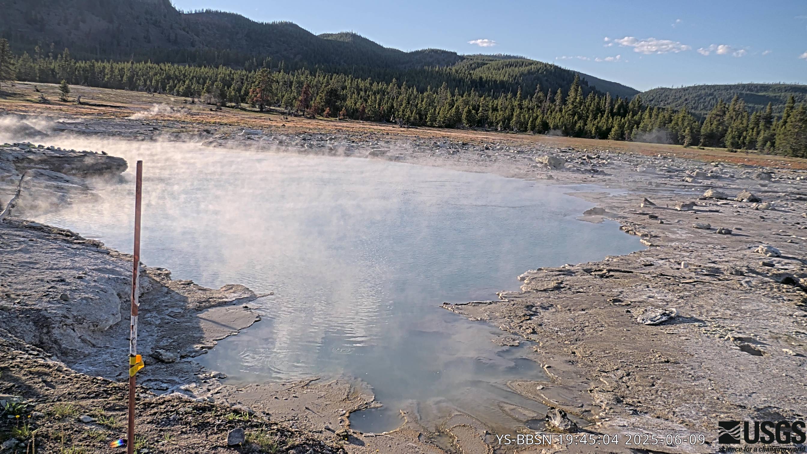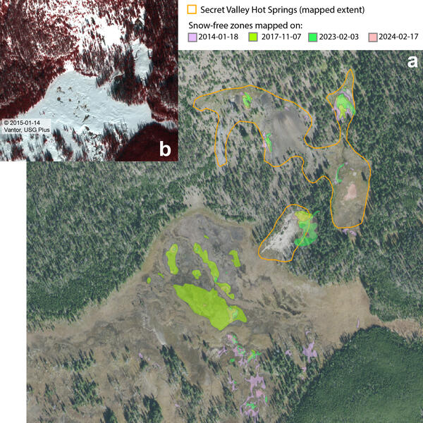
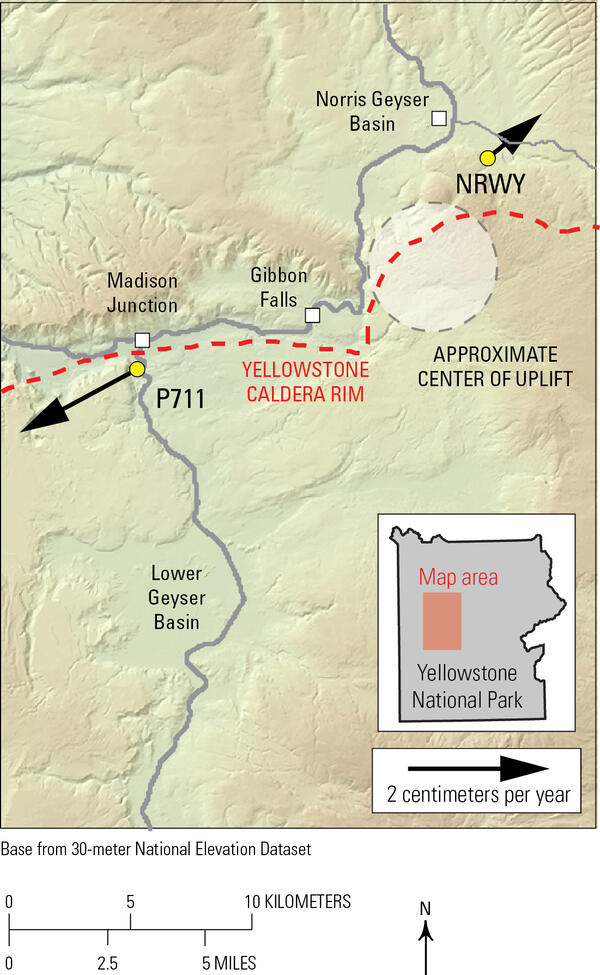
Satellite mapping of thermal ground at Secret Valley Hot Springs, Yellowstone National Park
Satellite mapping of thermal ground at Secret Valley Hot Springs, Yellowstone National Park(a) NAIP (National Agriculture Imagery Program) natural-color aerial photograph of Secret Valley Hot Springs, in the backcountry between Norris Geyser Basin and Madison Junction, from September 25, 2015, showing snow-free zone mapping based on snowy wintertime imagery from multiple years. The mapped boundaries of the thermal area are indicated by the orange out
")
")
")
")
")
")