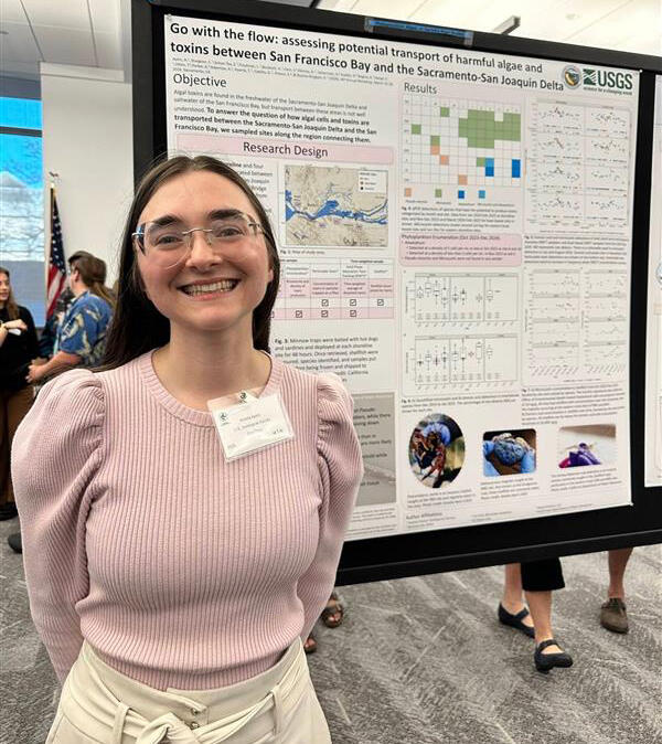
AI-Generated Illustration of a Rain-on-Wildfire Event
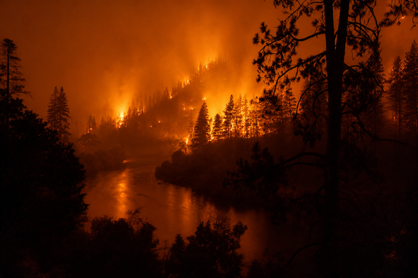
AI-Generated Illustration of a Rain-on-Wildfire EventAI-generated illustration depicting a rain-on-wildfire event in a mountainous river corridor. The image shows active wildfire conditions near a river during a storm, with flames burning along forested hillslopes, smoke and rainfall interacting in the atmosphere, and fire reflected in the water surface.