Open-source image recognition footage of Santa Ana Sucker lure
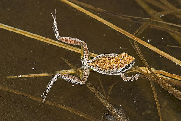
Open-source image recognition footage of Santa Ana Sucker lureAn open-source image recognition program was used to detect the fish and lures in the videos. The program was “trained” to recognize the fish and lures by exposing it to approximately 800 images of fish and non-fish.