
The primary objective of this task is to develop tools for predicting the long-term geomorphic evolution of estuaries. Sediment core and historical change analysis will be used in combination with interpretation of high-resolution seismic profiles to develop tools for predicting geomorphic evolution of estuaries. Historical change analysis will use hydrographic and lidar data. Longer-term data will be derived from sediment cores.
This research is part of the project, “Sediment Transport in Coastal Environments.”
Learn about all of the “Sediment Transport in Coastal Environments” research studies by choosing a title below.

Sediment Transport in Coastal Environments

Coastal watershed and estuary restoration in the Monterey Bay area

Transport of invasive microorganisms

Sediment transport in submarine canyons

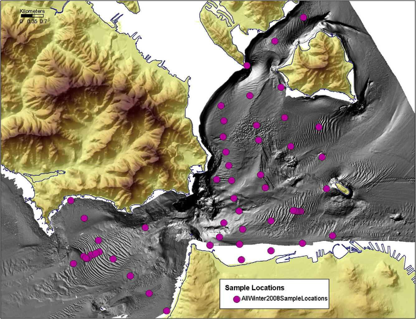
Columbia River estuary

Sediment transport between estuarine habitats in San Francisco Bay

Drag and sediment transport: conditions at the bottom boundary

San Francisco Bay geomorphology
The primary objective of this task is to develop tools for predicting the long-term geomorphic evolution of estuaries. Sediment core and historical change analysis will be used in combination with interpretation of high-resolution seismic profiles to develop tools for predicting geomorphic evolution of estuaries. Historical change analysis will use hydrographic and lidar data. Longer-term data will be derived from sediment cores.
This research is part of the project, “Sediment Transport in Coastal Environments.”
Learn about all of the “Sediment Transport in Coastal Environments” research studies by choosing a title below.
Sediment Transport in Coastal Environments
Coastal watershed and estuary restoration in the Monterey Bay area
Transport of invasive microorganisms
Sediment transport in submarine canyons
Columbia River estuary
Sediment transport between estuarine habitats in San Francisco Bay
Drag and sediment transport: conditions at the bottom boundary