



USGS Scientists at the 2026 Long Island Sound Research Conference
The 2026 Long Island Sound Research Conference brings together researchers, managers, academia, and community partners to share the latest science and strengthen collaborations focused on the future of Long Island Sound. This year, the U.S. Geological Survey (USGS) highlighted a range of ocean, coastal, and watershed science needed to better understand the Sound today and prepare for tomorrow.
Scientists from across the USGS participated in the 2026 Long Island Sound Research Conference, held June 4–5 in Mystic, Connecticut. Together, they shared new science, demonstrated innovative tools, and collaborated with other attendees working to better understand and protect one of the nation's most valuable estuaries.
The USGS team hosted a booth and contributed presentations, posters, and live demonstrations that highlighted the breadth of our coastal and watershed science across the Long Island Sound region.
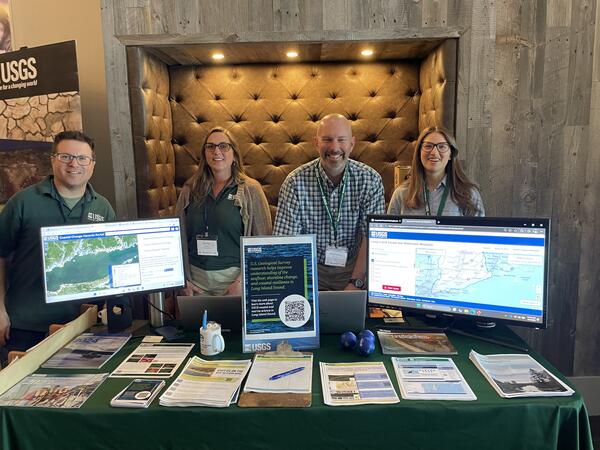
Specific activities included:
- Presenting a poster titled, The Long Island Sound Clearinghouse—an online platform that directs users to publicly available information for the basin, and providing a demonstration of the Clearinghouse.
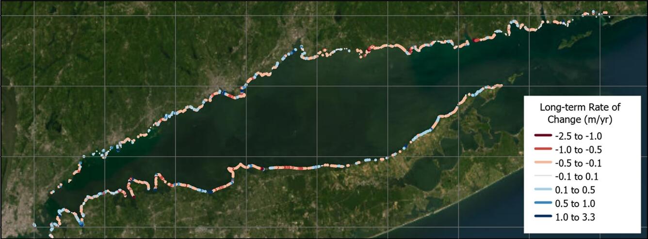
- Showing USGS coastal change products—the National Shoreline Change database and the Coastal Change Likelihood assessment—newly updated for Long Island Sound that can help scientists and managers better understand how shorelines and coastal landscapes are changing over time.
- Supporting a presentation titled, Long Island Sound Seafloor Habitat Mapping Initiative Phase V & Beyond, highlighting ongoing efforts to map the seafloor and improve understanding of underwater habitats.
- Providing informational materials about USGS research related to Long Island Sound and an opportunity to receive updates via email.
By participating in events such as the Long Island Sound Research Conference, USGS scientists strengthen partnerships, share new discoveries, and ensure that scientific information reaches the people who use it to manage natural resources, protect coastal communities, and sustain the ecological and economic health of Long Island Sound for future generations.
Addressing the Sound’s complex environmental challenges requires a collaborative approach. As a trusted scientific partner, the USGS provides unbiased data, research, and decision-support tools needed for key rightsholders and stakeholders to manage resources, support sustainable communities, and prepare for future coastal challenges.
USGS Science for Long Island Sound
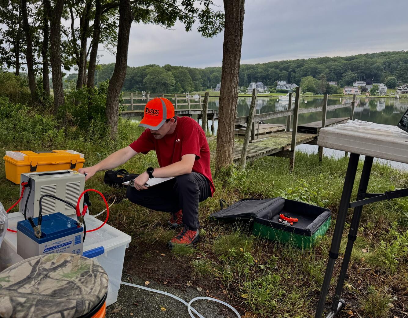
Monitoring Water Resources
Healthy estuaries depend on healthy watersheds. Throughout the Long Island Sound watershed, USGS scientists monitor streams, groundwater, and water quality to better understand the movement of water, nutrients, sediment, and contaminants. Long-term monitoring provides the data needed to identify trends, improve scientific understanding, and support decisions that help protect drinking water resources and maintain healthy aquatic ecosystems.
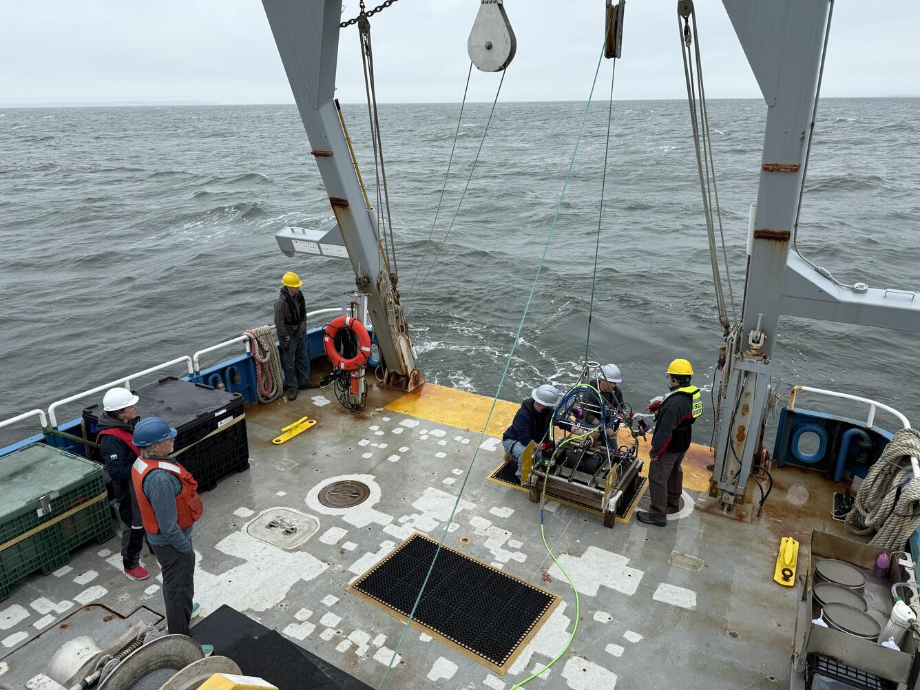
Mapping the Seafloor
USGS scientists map the seafloor to characterize geological features, identify habitats, and understand how sediment moves throughout the Sound. High-resolution maps reveal the composition and structure of the seafloor, providing information that supports fisheries management, offshore infrastructure planning, and coastal resilience.
Understanding Coastal Change and Related Hazards
Long Island Sound's shorelines are constantly changing as waves, storms, erosion, and rising sea levels reshape the coast. USGS develops maps, datasets, and predictive tools that help communities understand shoreline change, assess coastal hazards, and evaluate future risks. These science products support planning efforts that increase the resilience of coastal communities, ecosystems, and infrastructure.
Making Science Accessible
Scientific information is most valuable when it is easy to find and use. USGS works with partners to develop tools that make data and research more accessible to scientists, resource managers, educators, and the public. One example is the Long Island Sound Clearinghouse, an online platform that connects users with publicly available maps, datasets, reports, and decision-support tools from organizations working throughout the basin. By bringing these resources together in one place, the Clearinghouse helps users more easily discover information that supports research, education, and resource management.

Related

Embayment Monitoring to Support Nutrient Management Activities in Connecticut for Long Island Sound

Water Quality Sampling and Monitoring of the Pawcatuck River Watershed

Development of a Regional-Scale Model to Simulate Groundwater Flow and Nitrogen Loading in Watersheds Along the Connecticut Coast of Long Island Sound

Sea Floor Mapping Group

The West Brook Story
Related
Embayment Monitoring to Support Nutrient Management Activities in Connecticut for Long Island Sound
Water Quality Sampling and Monitoring of the Pawcatuck River Watershed
Development of a Regional-Scale Model to Simulate Groundwater Flow and Nitrogen Loading in Watersheds Along the Connecticut Coast of Long Island Sound
Sea Floor Mapping Group