


June 26, 2025 — UAS monitoring/mapping flights at Kīlauea summit
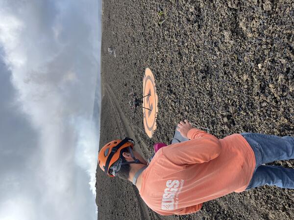
June 26, 2025 — UAS monitoring/mapping flights at Kīlauea summitOn June 26, the USGS Hawaiian Volcano Observatory conducted a UAS (uncrewed aircraft systems) mission to monitor the ongoing Kīlauea summit eruption and map its tephra deposits. Here, a geologist prepares for a flight from former Crater Rim Drive within the closed portion of Hawai‘i Volcanoes National Park.


")


