Water Quality
Providing foundational data and scientific analysis to address water quality issues facing California
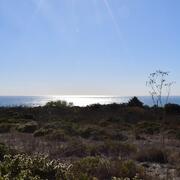
Surface Water
Understanding the science about California surface-water use for irrigation, public consumption, and ecosystems
Science Programs and Partnerships
Supplying necessary scientific information to local, state, and federal agencies, and non-governmental organizations
Aquatic Ecology
Gaining better understanding of the effects that human activity, hydrologic extremes, and climate change have on aquatic ecosystems
Groundwater
Using science to assess and quantify the availability and quality of California's groundwater resources
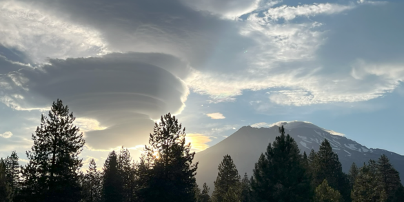
California Drought
Monitoring the effects of drought in California through data collection and research
California Water Science Center
The U.S. Geological Survey, California Water Science Center provides reliable, impartial, foundational data and scientific analysis to address water issues facing California today. We conduct hydrologic monitoring and investigative studies in partnership with Tribal, federal, state, and local agencies to assist them in making decisions.
Historical Floods

Storms unleash torrential rain and intense winds, posing significant challenges to infrastructure and triggering widespread flooding. Since it became a state in 1850, California has experienced numerous large storms and floods.
Golden State Reflections
Our science supports the Department’s commitment to national resilience and resource management by providing expertise and delivering well-documented data and interpretive products.
California Water & Drought Data
Basic hydrologic data collection, processing, analysis, dissemination, and archiving are major parts of the California Water Science Center program.
News
California Water Science Center Scientists Share their Research at 2026 IEP Annual Workshop
California Waters – Spring 2026 - Vol. VI | Issue I
Predicting Harmful Algal Blooms and Toxicity in the San Francisco Estuary
Publications
The global proliferation of aquatic, benthic Microcoleus: Taxonomy, distribution, toxin production, ecology, and future directions The global proliferation of aquatic, benthic Microcoleus: Taxonomy, distribution, toxin production, ecology, and future directions
Opportunities and challenges in using Solid Phase Adsorption Toxin Tracking (SPATT) samplers for monitoring cyanotoxins in freshwater and estuarine environments Opportunities and challenges in using Solid Phase Adsorption Toxin Tracking (SPATT) samplers for monitoring cyanotoxins in freshwater and estuarine environments
Deep groundwater total dissolved solids mapping in the Dakota Group, Williston Basin, USA Deep groundwater total dissolved solids mapping in the Dakota Group, Williston Basin, USA
Science
Where Land Meets Sea: USGS Science for Resilient Coastal Habitats
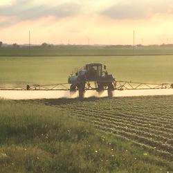
Bioenergy and Pesticides: Lessons from the AltEn Bioenergy Plant