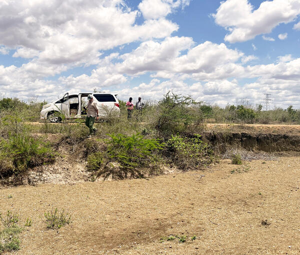
Calf drinking from an overflow point at a groundwater pump station in Mahalapye, Botswana.
Images
Below are images associated with the Office of International Programs.
Images appear according to the year they were taken. To search, type a keyword or use filters from the dropdown menu.
Calf drinking from an overflow point at a groundwater pump station in Mahalapye, Botswana.
Pull-up poster for USGS groundwater workshop in Nairobi, Kenya
Pull-up poster for USGS groundwater workshop in Nairobi, KenyaBanner presenting the Tana and Athi River basin groundwater mapping project outside the Ministry of Water, Sanitation, and Irrigation (Maji House) in Nairobi, Kenya.
Pull-up poster for USGS groundwater workshop in Nairobi, Kenya
Pull-up poster for USGS groundwater workshop in Nairobi, KenyaBanner presenting the Tana and Athi River basin groundwater mapping project outside the Ministry of Water, Sanitation, and Irrigation (Maji House) in Nairobi, Kenya.
USGS employees Molly Wood (3rd from left) and John Lane (3rd from right) with staff from the Namibia Ministry of Mines and Energy and the Ministry of Agriculture, Water, and Land Reform, after a workshop on geophysics data collection.
Aerial photograph of the arid Namibian landscape near Windhoek showing ephemeral streambeds.
Trainees displaying their completion certificates from Capacity Building classes (Remote Sensing and Hydrogeology) at the Kenya School of Government, Mombasa, Kenya.
Dry riverbeds like this one are common in arid and semi arid regions in Kenya in the dry seasons and highlight the need for access to groundwater.
Rural water distribution center in Kwale County, Kenya
Rural water distribution center in Kwale County, KenyaRural water distribution center near Maji Ya Chumvi in Kwale County, Kenya. Note water tank on roof.
Rural water distribution center in Kwale County, Kenya
Rural water distribution center in Kwale County, KenyaRural water distribution center near Maji Ya Chumvi in Kwale County, Kenya. Note water tank on roof.
A well on the grounds of the Kenya School of Government in Mombasa
A well on the grounds of the Kenya School of Government in MombasaThe hydrogeology training was held in August and September 2024 at the Kenya School of Government (KSG) in Mombasa. It covered the analysis of aquifer testing results and an introduction to groundwater and surface water field methods. The training consisted of a series of lectures and hands-on exercises.
Trainees in the hydrogeology class in Mombasa, Kenya
Trainees in the hydrogeology class in Mombasa, KenyaThe hydrogeology training was held in August and September 2024 at the Kenya School of Government (KSG) in Mombasa. It covered the analysis of aquifer testing results and an introduction to groundwater and surface water field methods. The training consisted of a series of lectures and hands-on exercises.
USGS Director and the President of the Korea Institute of Geoscience and Mineral Resources (KIGAM)
USGS Director and the President of the Korea Institute of Geoscience and Mineral Resources (KIGAM)Director Applegate conversing with his Korean counterpart, President Kim from the Korea Institute of Geoscience and Mineral Resources (KIGAM).
Signing the Letter of Intent to collaborate on the science
Signing the Letter of Intent to collaborate on the scienceThe International Geological Congress 2024 held August 24-30 in Busan, Republic of Korea provided a unique opportunity for bilateral meetings to explore opportunities for collaboration.
The USGS Delegation visiting the APEC Climate Center in Busan, Korea
The USGS Delegation visiting the APEC Climate Center in Busan, KoreaThe USGS Delegation visiting the APEC Climate Center in Busan, Korea. Nine individuals from the USGS and APEC, including Dave Applegate and Bill Cunningham, stand in front of the modern APEC building.
USGS booth at the International Geological Congress 2024
USGS booth at the International Geological Congress 2024USGS scientist Christine DeVera at the USGS booth at the International Geological Congress 2024 held August 24-30 in Busan, Republic of Korea.
USGS booth at the International Geological Congress 2024
USGS booth at the International Geological Congress 2024USGS scientist Christine DeVera at the USGS booth at the International Geological Congress 2024 held August 24-30 in Busan, Republic of Korea.
U.S. Delegates with the International Geological Congress 2024 banner and sign
U.S. Delegates with the International Geological Congress 2024 banner and signEight U.S. International Union of Geological Sciences (IUGS) Delegates (from the USGS, GSA, AGI, and academia) stand with the banner and sign at the International Geological Congress 2024 held August 24-30 in Busan, Republic of Korea.
The 2024 International Geologic Congress sign placed in front of a display skeleton of a long-necked dinosaur. The International Geological Congress 2024 was held August 24-30 in Busan, Republic of Korea.
Trainees displaying their completion certificates from Capacity Building classes (Remote Sensing and Hydrogeology) at ICPAC, Ngong Town, Kenya.
Coral reef fish assemblage in the Kealakekua Bay Marine Life Conservation District off the leeward side of Hawaiʻi Island, Hawaiʻi on 11 November 2016.
Matthew Andersen, USGS, and Sefanaia Nawadra, SPREP
Matthew Andersen, USGS, and Sefanaia Nawadra, SPREPMatthew Andersen, USGS, and the Director General of Secretariat for the Pacific Regional Environmental Programme (SPREP), Sefanaia Nawadra, at the 4th Pacific Ocean Pacific Climate Change Conference, sponsored by SPREP, the National University of Samoa, and Victoria University of Wellington, New Zealand, 20-24 May 2024.
USGS signs MOU with Dominican Republic Geological Survey
USGS signs MOU with Dominican Republic Geological SurveyUSGS and the National Geological Survey of the Dominican Republic signed a Memorandum of Understanding on March 12, 2024, in Reston, Virginia, for earth science cooperation.
USGS signs MOU with Dominican Republic Geological Survey
USGS signs MOU with Dominican Republic Geological SurveyUSGS and the National Geological Survey of the Dominican Republic signed a Memorandum of Understanding on March 12, 2024, in Reston, Virginia, for earth science cooperation.
USGS scientists mapping vegetation and land use in Los Planes watershed, Baja California Sur, Mexico
USGS scientists mapping vegetation and land use in Los Planes watershed, Baja California Sur, MexicoUSGS scientists mapping vegetation and land use in Los Planes watershed, Baja California Sur, Mexico, as part of a joint project to understand the impacts of installing natural infrastructure in dryland streams (NIDS), structures made from rock, sandbags and wood, meant
Monitoring a shallow groundwater well in Los Planes watershed, Baja California Sur, Mexico
Monitoring a shallow groundwater well in Los Planes watershed, Baja California Sur, MexicoScientists monitoring a shallow groundwater well in Los Planes watershed, Baja California Sur, Mexico. (Laura Norman, USGS)