Kīlauea
Find U.S. Volcano
Learn More
Learn More
Settings
Map Legend
Map Legend
Current Updates and Notifications
Kīlauea
Kīlauea is one of the world's most active volcanoes; since December 23, 2024, it has been intermittently erupting within the summit caldera in Hawaiʻi Volcanoes National Park.
Quick Facts
Location: Island of Hawai‘i
Latitude: 19.421° N
Longitude: 155.287° W
Elevation: 1,222 (m) 4,009 (f)
Volcano type: Shield
Composition: Basalt
Most recent eruption: June 2024
Nearby towns: Volcano, Pāhoa, Kalapana, Mountain View
Threat Potential: Very High*
*based on the National Volcano Early Warning System

Kīlauea Activity Update
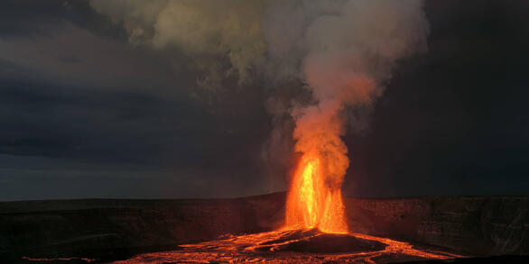
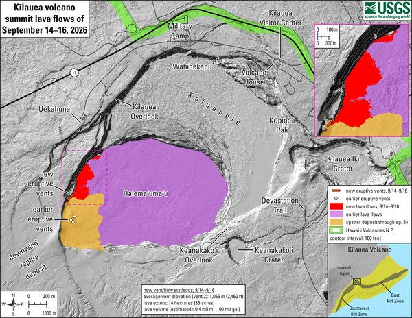
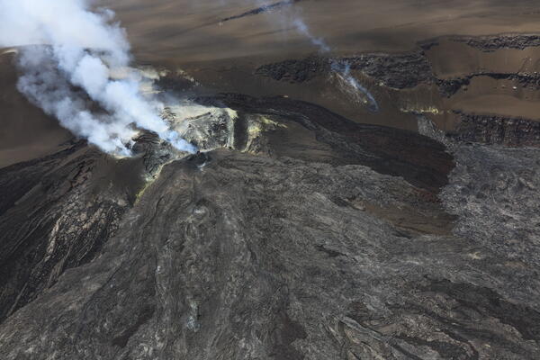
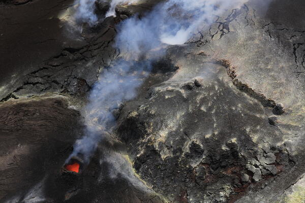
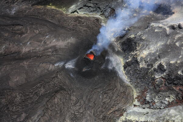
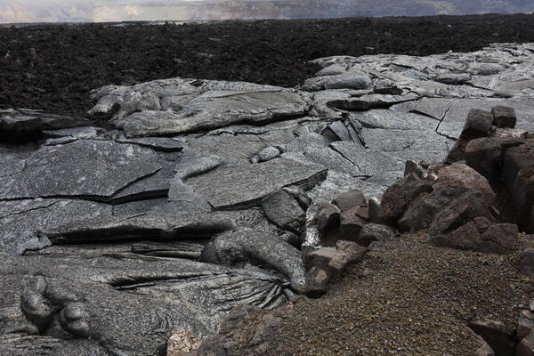
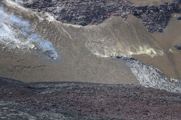
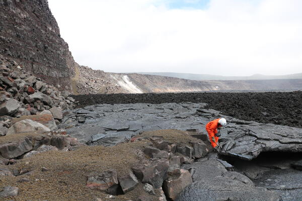
Kīlauea erupts frequently. An episodic lava fountaining eruption has been occurring in Halemaʻumaʻu crater, within the summit caldera, since December 23, 2024. This eruption is occurring within a closed area of Hawaiʻi Volcanoes National Park.
Monitoring Data

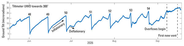
Ground deformation measurements and earthquake monitoring provide an indication about what is happening beneath a volcano.
Summary
Topographically Kīlauea appears as only a bulge on the southeastern flank of Mauna Loa, and so for many years Kīlauea was thought to be a mere satellite of its giant neighbor, not a separate volcano. However, research over the past few decades shows clearly that Kīlauea has its own magma-plumbing system, extending to the surface from more than 60 km deep in the earth.
In fact, the summit of Kīlauea lies on a curving line of volcanoes that includes Mauna Kea and Kohala and excludes Mauna Loa. In other words, Kīlauea is to Mauna Kea as Kama‘ehuakanaloa (formerly Lō‘ihi) is to Mauna Loa.
Kaluapele is the summit caldera of Kīlauea volcano. Within Kaluapele, Halemaʻumaʻu (often a crater that hosts persistently active vents) is the home of Pelehonuamea (Pele of the red earth), the Hawaiian elemental force of creation that appears as red molten lava. Hawaiian chants and oral traditions record, in veiled forms, centuries of volcanic activity in Hawaii. The first European, the missionary Rev. William Ellis, visited the summit in 1823 after which written documentation of eruptions begins. Kaluapele was the site of nearly continuous activity during the 19th century and the early part of the 20th century. Kīlauea ranks among the world's most active volcanoes.
Since 1952, Kīlauea has erupted dozens of times. From 1983 to 2018 eruptive activity was nearly continuous along the volcano's East Rift Zone, centered at Puʻuʻōʻō and Kupaianaha vents. At the summit, a vent within Halema‘uma‘u hosted an active lava pond and vigorous gas plume from 2008 to 2018. In 2018, the 35 years of continuous activity on the East Rift Zone ended. An intrusion into the lower East Rift Zone resulted in collapse and termination of the lava lake in Puʻuʻōʻō and draining of the summit lava lake in Halemaʻumaʻu. Those events caused a devastating eruption from the lower East Rift Zone and resulting collapse within Kaluapele, which enlarged and deepened Halemaʻumaʻu. Since December 2020, several summit eruptions within Halema‘uma‘u have been slowly filling the collapsed area. In 2024, activity migrated out of the caldera, with an intrusion and eruption in the Southwest Rift Zone, and several intrusions in the upper East Rift Zone as well as an eruption on the middle East Rift Zone. Since December 23, 2024, an eruption has been intermittently active within Halemaʻumaʻu crater at the summit.