
Borehole Extensometer

Detailed Description
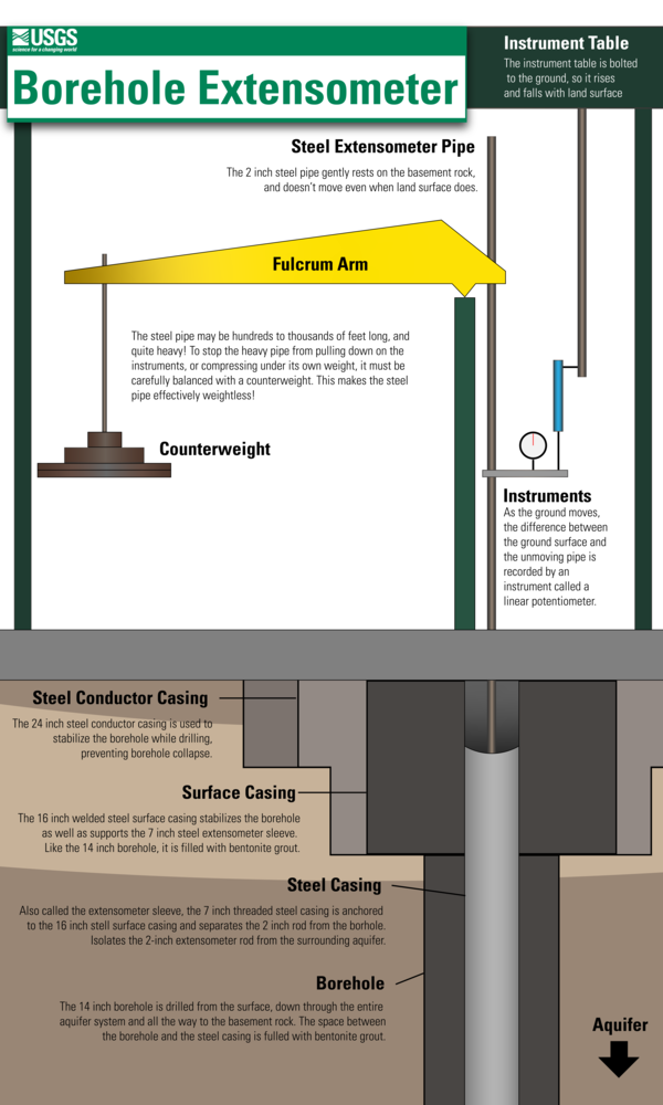
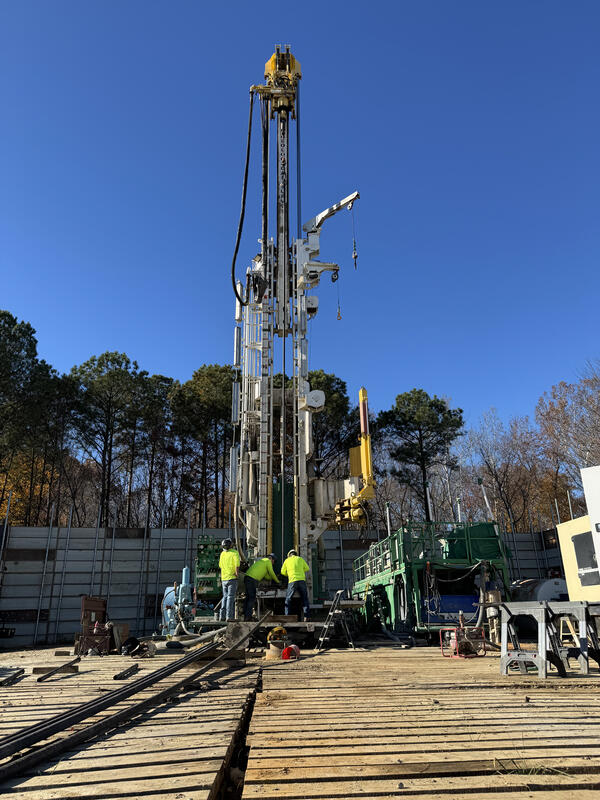
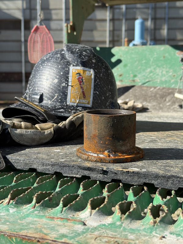
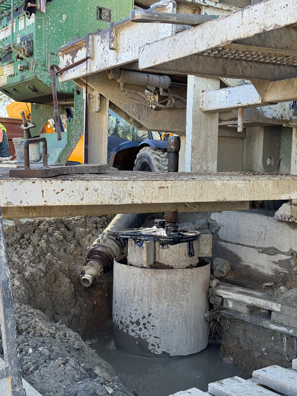
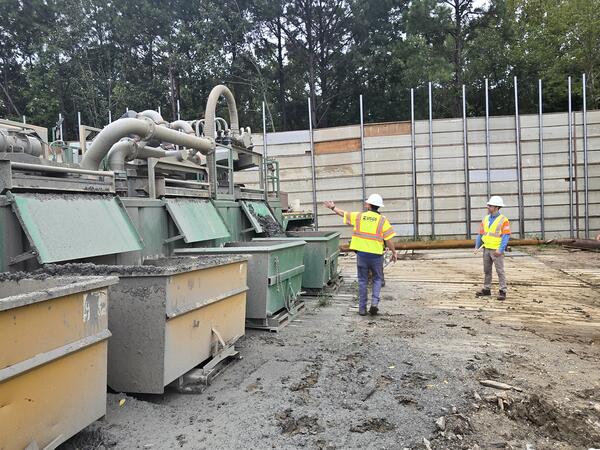
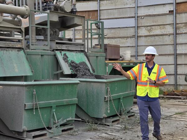
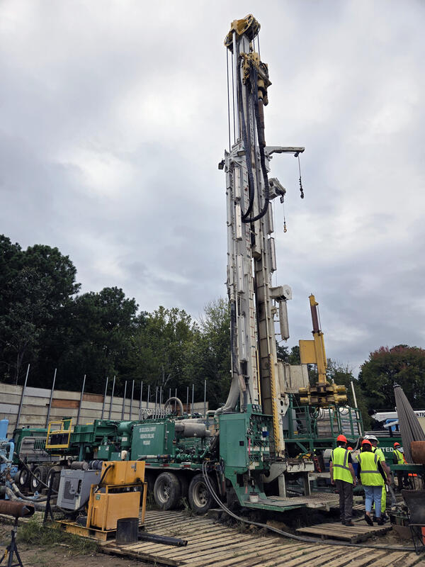
A borehole extensometer is an instrument that measures vertical land motion caused by changes in aquifer thickness. A borehole is drilled through the entirety of an aquifer system and the steel pipe is anchored at the base to the basement rock. Aquifer compaction is measured by the change in the length of the extensometer pipe which protrudes above the ground surface.
Extensometers measure only changes in aquifer thickness, not other deep-earth causes of subsidence such as glacial isostatic adjustment.
Based on the USGS extensometer at Nansemond, Virginia (USGS 365337076251606 59D 39).
Sources/Usage
Public Domain.
Related

The Virginia Extensometer Network
Borehole extensometers are instruments that monitor land subsidence caused by aquifer compaction. They provide precise, high-resolution measurements of changes in aquifer-system thickness. These changes in aquifer-system thickness contribute to vertical land motion (VLM) across the Virginia Coastal Plain, and are driven primarily by groundwater level decline due to human water usage. The Virginia...
Subsidence Infographics
Subsidence Infographics


Virginia Extensometer Network
Virginia Extensometer Network
Filter Total Items: 33


Related
The Virginia Extensometer Network
Borehole extensometers are instruments that monitor land subsidence caused by aquifer compaction. They provide precise, high-resolution measurements of changes in aquifer-system thickness. These changes in aquifer-system thickness contribute to vertical land motion (VLM) across the Virginia Coastal Plain, and are driven primarily by groundwater level decline due to human water usage. The Virginia...
Subsidence Infographics
Subsidence Infographics
Virginia Extensometer Network
Virginia Extensometer Network
Filter Total Items: 33