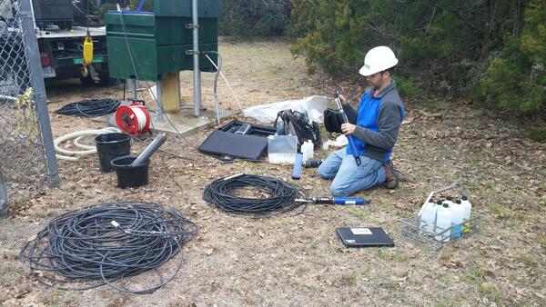
An instrument called an acoustic Doppler current profiler (ADCP) takes streamflow measurements during flooding. The ADCP is attached to a buoy that is dragged in the water either alongside a boat or by hand. USGS hydrologist Dan Thomas points to the ADCP sensor on the Red River of the North during flooding in downtown Fargo, ND.