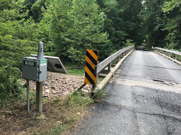
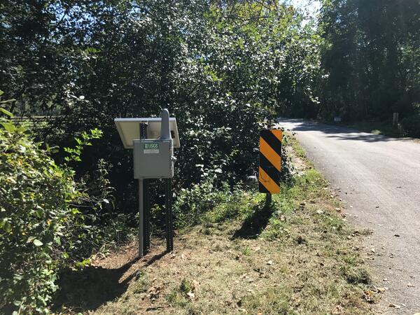
Groundwater Sampling at Mt. Hope Cemetery, Michigan
Groundwater Sampling at Mt. Hope Cemetery, MichiganIs this cemetery haunted? Probably not, but there could be tiny things moving beyond the grave. The USGS sampled groundwater downhill of Mt. Hope Cemetery in Lansing, Michigan, to find out if materials associated with decomposition and burial processes could affect groundwater quality near a cemetery.