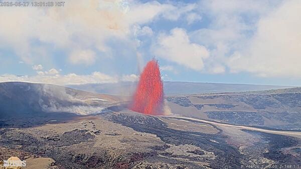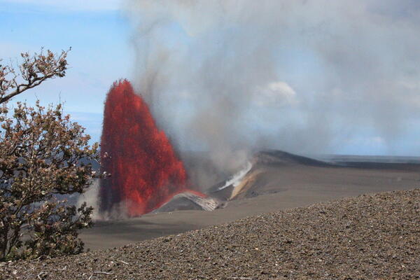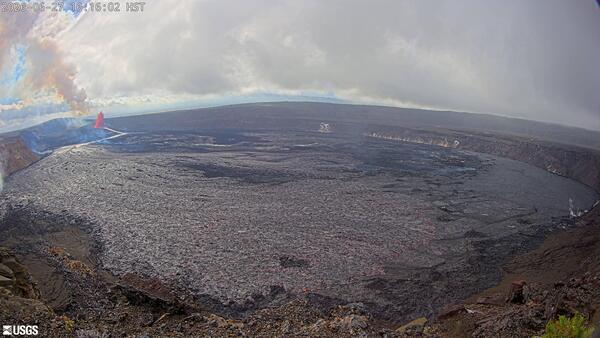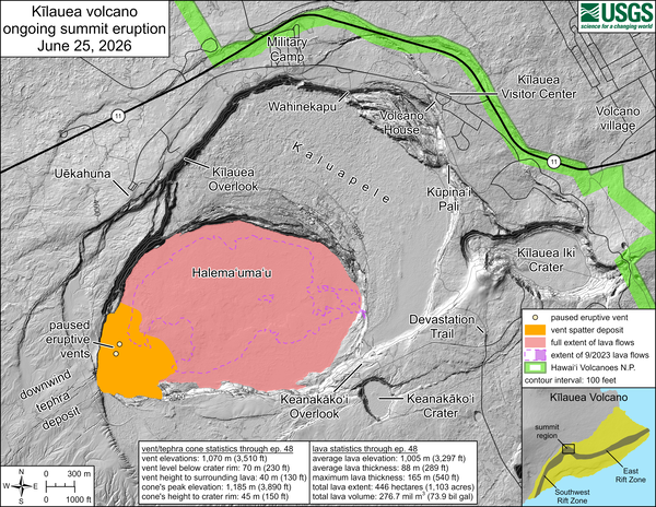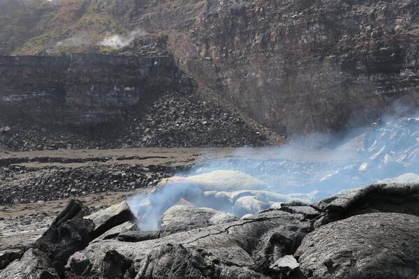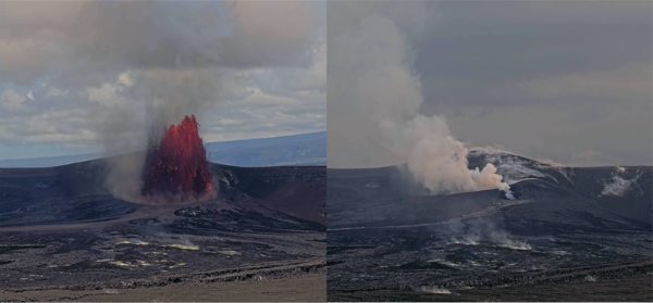
June 27, 2026 — Kīlauea episode 50 of lava fountaining from the KPcam
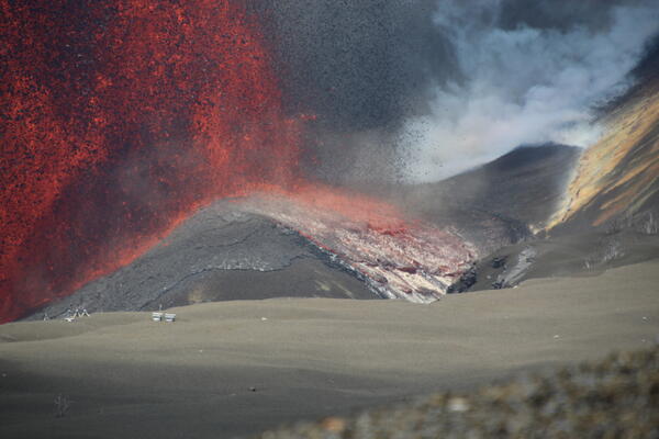
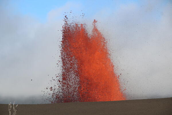
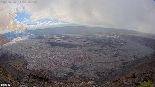
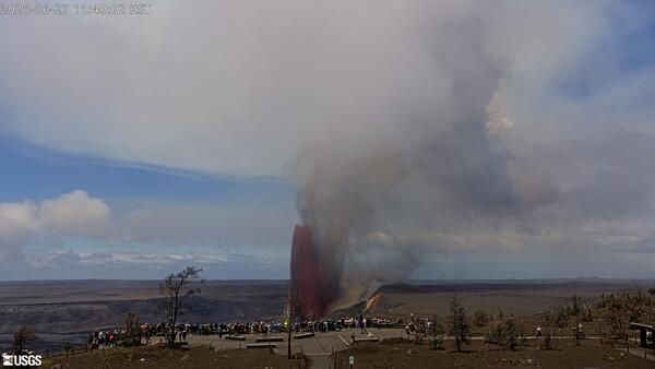
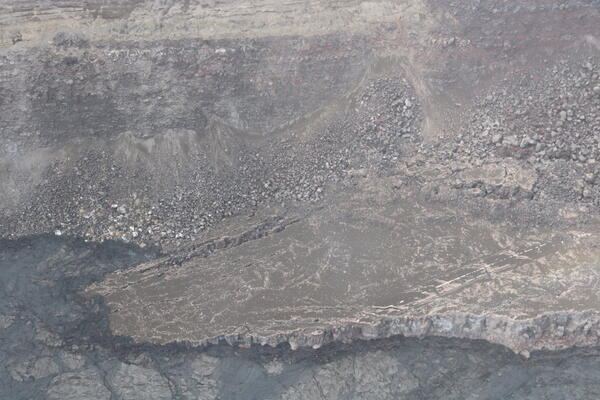
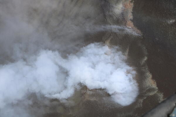
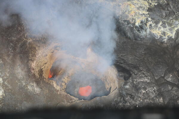
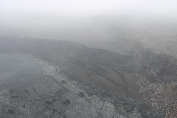
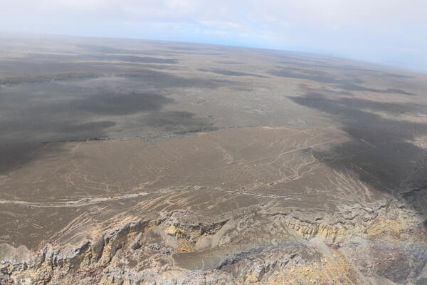
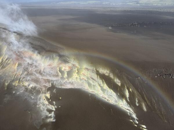
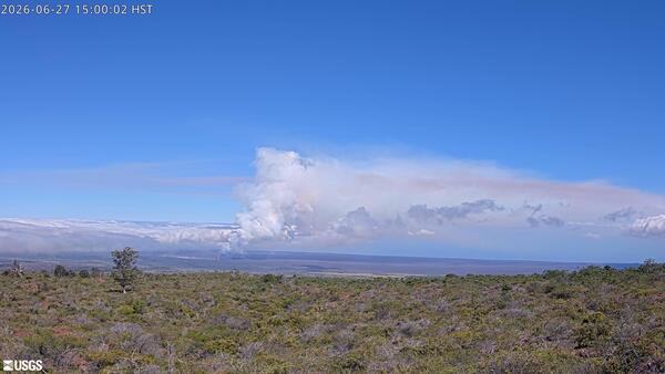
June 27, 2026 — Kīlauea episode 50 of lava fountaining from the KPcamEpisode 50 of lava fountaining in Halemaʻumaʻu at the summit of Kīlauea took place for about 7 hours on June 27, 2026. This photograph of the episode was taken by the KPcam, located on the southern flank of Mauna Loa in Hawaiʻi Volcanoes National Park, and shows Kīlauea summit in the background. USGS webcam image.