
The familiar saying “good things come in small packages” holds especially true for deep-sea biological communities at hydrothermal vents, including those at Escanaba Trough, a seafloor spreading center located almost 200 miles off the northern California coast.
All Multimedia
Access all multimedia to include images, video, audio, webcams, before-after imagery, and more. Filter and explore with filtering options to refine search.
Filter Total Items: 26001

Escanaba Trough Expedition: Biological Communities
The familiar saying “good things come in small packages” holds especially true for deep-sea biological communities at hydrothermal vents, including those at Escanaba Trough, a seafloor spreading center located almost 200 miles off the northern California coast.
Escanaba Trough Expedition: Biological Communities (AD)
The familiar saying “good things come in small packages” holds especially true for deep-sea biological communities at hydrothermal vents, including those at Escanaba Trough, a seafloor spreading center located almost 200 miles off the northern California coast.
The familiar saying “good things come in small packages” holds especially true for deep-sea biological communities at hydrothermal vents, including those at Escanaba Trough, a seafloor spreading center located almost 200 miles off the northern California coast.

August 18, 2022 — Timelapse of lava lake motion in Halema‘uma‘u, Kīlauea
This time-lapse sequence is shown at 100x speed and shows the motion of the lava lake in Halema‘uma‘u, at the summit of Kīlauea. Lava enters the lake at the west end (bottom of image) and flow steadily towards the east end, where the crust is consumed along the lake margins.
This time-lapse sequence is shown at 100x speed and shows the motion of the lava lake in Halema‘uma‘u, at the summit of Kīlauea. Lava enters the lake at the west end (bottom of image) and flow steadily towards the east end, where the crust is consumed along the lake margins.

Terrestrial Analog - Meet Kristen
My name is Kristen Bennett. I'm at the Astrogeology Science Center and I've been there since 2018.
My name is Kristen Bennett. I'm at the Astrogeology Science Center and I've been there since 2018.
Terrestrial Analog - Meet Lauren
I'm Lauren Edgar. I'm a research geologist at the USGS astrogeology Science Center here in Flagstaff AZ
I'm Lauren Edgar. I'm a research geologist at the USGS astrogeology Science Center here in Flagstaff AZ
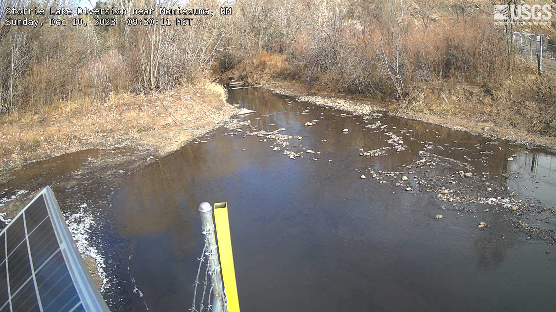
Storrie Lake Diversion nr Montezuma, NM
This is a webcam image of Storrie Lake Diversion nr Montezuma, NM downstream of Hermits Peak and Calf Canyon Fire
This is a webcam image of Storrie Lake Diversion nr Montezuma, NM downstream of Hermits Peak and Calf Canyon Fire

Timelapse showing rise of Halema‘uma‘u crater floor
This timelapse sequence shows activity in Halema‘uma‘u, at the summit of Kīlauea, from March to August. The video shows the rise of the crater floor due to lava supplied beneath the surface crust, lifting the crater floor in an "endogenous" process. In addition, lava flows erupt sporadically and resurface portions of the crater floor.
This timelapse sequence shows activity in Halema‘uma‘u, at the summit of Kīlauea, from March to August. The video shows the rise of the crater floor due to lava supplied beneath the surface crust, lifting the crater floor in an "endogenous" process. In addition, lava flows erupt sporadically and resurface portions of the crater floor.

Monthly update of activity at Yellowstone Volcano for August 1, 2022 from Mammoth Hot Springs
Mike Poland, scientist-in-charge of the Yellowstone Volcano Observatory, describes activity at Yellowstone in this monthly update for August 1, 2022.
Mike Poland, scientist-in-charge of the Yellowstone Volcano Observatory, describes activity at Yellowstone in this monthly update for August 1, 2022.

PubTalk-07/2022 - Mapping the World from Satellites
Mapping the World from Satellites Helping us understand Global Food & Water Security in the 21st Century
by USGS Research Geographer Prasad Thenkabail
Mapping the World from Satellites Helping us understand Global Food & Water Security in the 21st Century
by USGS Research Geographer Prasad Thenkabail

Assessment of Per- and Polyfluoroalkyl Substances (PFAS) in West Virginia Public Source-Water Supplies
linkWhat are PFAS?

Eyes on Earth Episode 79 – Landsat Global Archive Consolidation
The Landsat archive at EROS contains an unparalleled 50 years of Earth observation data. But with earlier technologies, some Landsat scenes were collected and stored only by international ground receiving stations rather than in the central archive at EROS.
The Landsat archive at EROS contains an unparalleled 50 years of Earth observation data. But with earlier technologies, some Landsat scenes were collected and stored only by international ground receiving stations rather than in the central archive at EROS.
Streamgage 09152500 Gunnison River near Grand Junction, CO
Webcam at USGS Streamgage 09152500 Gunnison River near Grand Junction, CO.
Visit Water Data For the Nation to get current data for this site.
Webcam at USGS Streamgage 09152500 Gunnison River near Grand Junction, CO.
Visit Water Data For the Nation to get current data for this site.
Streamgage 09034250 Colorado River at Windy Gap near Granby, CO
Webcam at USGS Streamgage 09034250 Colorado River at Windy Gap near Granby, CO.
Visit Water Data For the Nation to get current data for this site.
Webcam at USGS Streamgage 09034250 Colorado River at Windy Gap near Granby, CO.
Visit Water Data For the Nation to get current data for this site.

Eyes on Earth Episode 78 - Landsat 50 Lookback
Government officials and scientists had high hopes for Landsat when the first experimental satellite launched July 23, 1972. Those hopes were soon realized when imagery came back depicting features never before seen. Since then, an archive of imagery surpassing 10 million scenes has amassed at EROS, collected from eight different Landsat satellites.
Government officials and scientists had high hopes for Landsat when the first experimental satellite launched July 23, 1972. Those hopes were soon realized when imagery came back depicting features never before seen. Since then, an archive of imagery surpassing 10 million scenes has amassed at EROS, collected from eight different Landsat satellites.

Reducción de los riesgos de inundación mediante la restauración de los arrecifes de coral
El aumento de riesgos por inundaciones a lo largo de nuestras costas está causado por el cambio climático, el desarrollo urbano y la pérdida de hábitat.
El aumento de riesgos por inundaciones a lo largo de nuestras costas está causado por el cambio climático, el desarrollo urbano y la pérdida de hábitat.

Seafloor Erosion in the Florida Keys
Coral reefs are important for supporting biodiversity, fisheries, tourism, and coastal protection, but are in decline worldwide, primarily due to extreme heat waves and subsequent coral bleaching, in addition to other stressors.
Coral reefs are important for supporting biodiversity, fisheries, tourism, and coastal protection, but are in decline worldwide, primarily due to extreme heat waves and subsequent coral bleaching, in addition to other stressors.

Lauren Toth - Coral Restoration
The complex, three-dimensional reefs built by corals over hundreds to thousands of years provide invaluable ecosystem services to society—contributing billions of dollars per year to the global economy through shoreline protection, tourism, and habitat for biodiversity and fisheries.
The complex, three-dimensional reefs built by corals over hundreds to thousands of years provide invaluable ecosystem services to society—contributing billions of dollars per year to the global economy through shoreline protection, tourism, and habitat for biodiversity and fisheries.

Monthly update of activity at Yellowstone Volcano for July 2022
Mike Poland, scientist-in-charge of the Yellowstone Volcano Observatory, describes activity at Yellowstone volcano in this monthly update for July 1, 2022.
Mike Poland, scientist-in-charge of the Yellowstone Volcano Observatory, describes activity at Yellowstone volcano in this monthly update for July 1, 2022.

PubTalk-06/2022 - Keeping Tabs on the Volcanoes of the Last Frontier
Keeping Tabs on the Volcanoes of the Last Frontier
An Update from the Alaska Volcano Observatory
By Michelle Coombs, USGS Research Geologist
Scientist-in-Charge, Alaska Volcano Observatory
Keeping Tabs on the Volcanoes of the Last Frontier
An Update from the Alaska Volcano Observatory
By Michelle Coombs, USGS Research Geologist
Scientist-in-Charge, Alaska Volcano Observatory

Examining Water From a Submarine Groundwater Well
Dr. Christopher G. Smith pumps water from a submarine groundwater well on the seafloor through tubing to the R/V Halimeda and uses an instrument called a YSI to measure salinity and ensure the wells are working properly and producing groundwater.
Dr. Christopher G. Smith pumps water from a submarine groundwater well on the seafloor through tubing to the R/V Halimeda and uses an instrument called a YSI to measure salinity and ensure the wells are working properly and producing groundwater.