Monitoring a shallow groundwater well in Los Planes watershed, Baja California Sur, Mexico
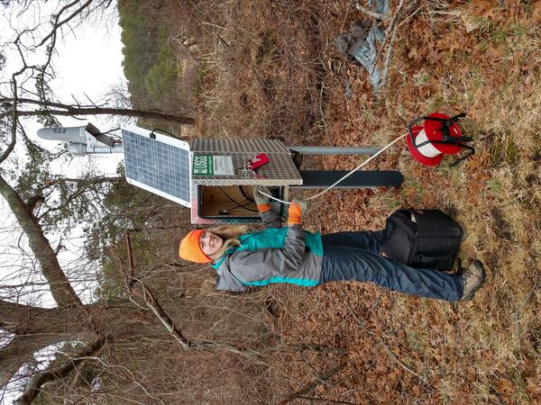
Monitoring a shallow groundwater well in Los Planes watershed, Baja California Sur, MexicoScientists monitoring a shallow groundwater well in Los Planes watershed, Baja California Sur, Mexico. (Laura Norman, USGS)