Forecasting Ashfall Impacts from a Yellowstone Supereruption
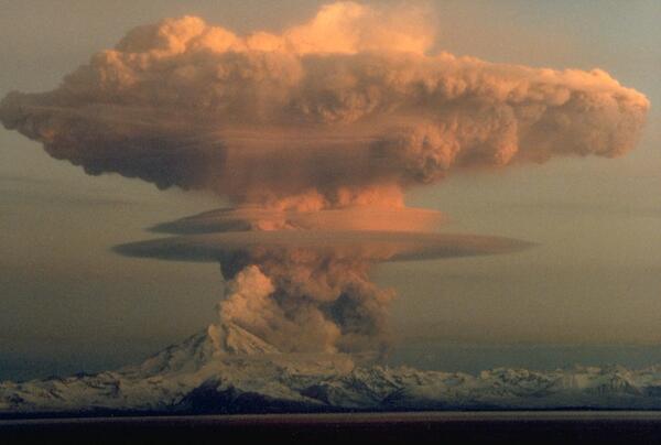
Forecasting Ashfall Impacts from a Yellowstone Supereruption- Yellowstone is one of a few dozen volcanoes on earth capable of "supereruptions" that expel more than 1,000 cubic km of ash and debris.
- The plumes from such eruptions can rise 30 to 50 km into the atmosphere, three to five times as high as most jets fly.