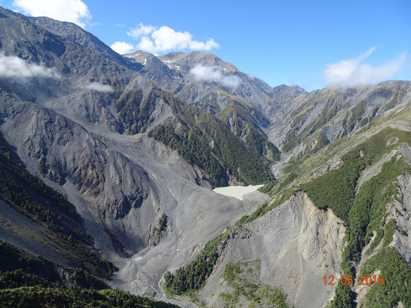
U.S. flag

An official website of the United States government

Images

Browse our photos of landslide research and post-landslide investigations.

Filter Total Items: 259
Scientist stands on bank of landslide debris.  Fallen trees throughout the photo.
Extensional structural features of the 2014 SR530 landslide near Oso

USGS hydrologist Mark Reid examines an extensional basin in the middle of the Oso landslide deposit.  The headscarp (near-vertical cliff at the back of the landslide) is visible at the top of the image.  The prominent tree is one of many that fell and became perched as the landslide spread out over the river valley.

USGS hydrologist Mark Reid examines an extensional basin in the middle of the Oso landslide deposit.  The headscarp (near-vertical cliff at the back of the landslide) is visible at the top of the image.  The prominent tree is one of many that fell and became perched as the landslide spread out over the river valley.

view of Salt Creek rock avalanche in Western Colorado from the top
Salt Creek Rock Avalanche in Western Colorado

Photograph taken from a Colorado National Guard helicopter looking north down the West Salt Creek rock avalanche deposit. On May 25, 2014, the central core of the rock avalanche deposit continued to move for 1-2 hours after the main rock avalanche deposit had stopped moving.

Photograph taken from a Colorado National Guard helicopter looking north down the West Salt Creek rock avalanche deposit. On May 25, 2014, the central core of the rock avalanche deposit continued to move for 1-2 hours after the main rock avalanche deposit had stopped moving.

Image: La Conchita
La Conchita
La Conchita
La Conchita

An oblique LIDAR image of La Conchita, Calif., reveals the community’s grim landslide history. The 1995 landslide is outlined in blue and the 2005 landslide in yellow, while a red line overhead outlines the main scarp of an ancient landslide that involved the entire bluff. Arrows show other landslides in the area.

An oblique LIDAR image of La Conchita, Calif., reveals the community’s grim landslide history. The 1995 landslide is outlined in blue and the 2005 landslide in yellow, while a red line overhead outlines the main scarp of an ancient landslide that involved the entire bluff. Arrows show other landslides in the area.

Image: 2005 Landslide in Conchita, CA
2005 Landslide in Conchita, CA

This landslide occurred at La Conchita, California in 2005. Ten people were killed.

Home with large crack in foundation
Slow landslide building damage - Boyd County, Kentucky

Building damage caused by a slow landslide in Boyd County, Kentucky. Previous repairs reveal that the landslide has moved in the past. 

USGS researcher examines large-scale structural features of the 2014 SR530 landslide near Oso, Washington
Scientist stands on the bank of a still river

USGS hydrologist Mark Reid looks at one of the many grabens (extensional basins) that formed as the Oso landslide swept across the North Fork Stillaguamish River valley.

USGS hydrologist Mark Reid looks at one of the many grabens (extensional basins) that formed as the Oso landslide swept across the North Fork Stillaguamish River valley.

A volcano monitoring “spider” deployed by helicopter to the Oso landslide to track ground movement and seismicity
A volcano monitoring “spider” deployed to the Oso landslide

A volcano monitoring “spider” was deployed by helicopter to the Oso landslide to track ground movement and seismicity while search-and-rescue operations were ongoing.  The spider was equipped with a seismometer (mounted on the far left leg) to track ground shaking and GPS (a dome-shaped instrument on the upper mast) to track subtle ground movement.

A volcano monitoring “spider” was deployed by helicopter to the Oso landslide to track ground movement and seismicity while search-and-rescue operations were ongoing.  The spider was equipped with a seismometer (mounted on the far left leg) to track ground shaking and GPS (a dome-shaped instrument on the upper mast) to track subtle ground movement.

landslide
Catastrophic landslide near Oso, WA, Mar. 22, 2014.
Image: Oso, Washington Landslide
Oso, Washington Landslide

Oblique aerial photograph of the Oso, Washington landslide, showing the entire extent of the landslide source area and path.

Location: State Route 530, Oso, Washington

Oblique aerial photograph of the Oso, Washington landslide, showing the entire extent of the landslide source area and path.

Location: State Route 530, Oso, Washington

large crack in ground in forested area
Potential landslide indicator - Snohomish County, Washington

Cracks on a gravel road formed during the reactivation of a slow, deep landslide. The cracks can be indicators of local movement in or around the road or in this case, are a sign of a much larger landslide. 

Cracks on a gravel road formed during the reactivation of a slow, deep landslide. The cracks can be indicators of local movement in or around the road or in this case, are a sign of a much larger landslide. 

large crack in residential yard
Potential landslide indicator - Island County, Washington

Large cracks formed in this yard after a large landslide occurred downslope of a home. Though the home wasn't directly impacted by the landslide, the cracks in the yard are indicators of potential additional movement and increased landslide risk.

Large cracks formed in this yard after a large landslide occurred downslope of a home. Though the home wasn't directly impacted by the landslide, the cracks in the yard are indicators of potential additional movement and increased landslide risk.

two cracks on a gravel slope in residential yard
Potential landslide indicator - Island County, Washington

Cracks on a gravel road formed during the initial movement of a slow, deep landslide. The cracks can be indicators of local movement in or around the road or in this case, a much larger landslide and damaged many homes. 

Cracks on a gravel road formed during the initial movement of a slow, deep landslide. The cracks can be indicators of local movement in or around the road or in this case, a much larger landslide and damaged many homes. 

severe damage to home foundation, homes built on landslide
Home damaged by debris flow - Island County, Washington

A reactivated landslide destroyed this home that was built on the landslide. Initial, slow landslide movement allowed the occupant to escape. Island County, WA. March 2013

Data logger suspended above a channel with a person pointing up at it from the bottom of the channel
Millicoma Meander study basin

Photograph of the channel station showing the laser distance meter (in red circle) high above the channel used to measure stage (height) of flow in the channel.

Photograph of the channel station showing the laser distance meter (in red circle) high above the channel used to measure stage (height) of flow in the channel.

mud, large boulders, and overturned FTE next to house
Waldo Canyon, Colorado Debris Flow Damage
Toe of the active Cleveland Corral landslide in 2011
Cleveland Corral landslide in 2011

Toe of the active Cleveland Corral landslide in 2011, perched above US Highway 50 in distance.  Movement typically only occurs during wet winter and spring months.

Toe of the active Cleveland Corral landslide in 2011, perched above US Highway 50 in distance.  Movement typically only occurs during wet winter and spring months.

Was this page helpful?