
Groundwater Well in Mill Creek Basin in Cape Cod National Seashore
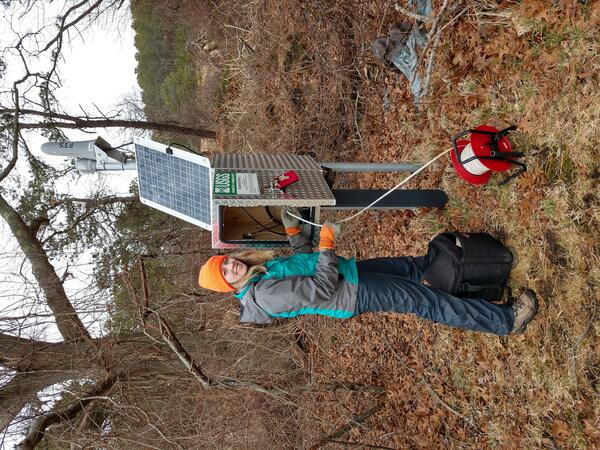
Groundwater Well in Mill Creek Basin in Cape Cod National SeashoreA Geoscientist-in-the-Park Guest Scientist for the National Park Service services a USGS groundwater well located within the Mill Creek basin near the Herring River in Wellfleet, Massachusetts.


