



Web Tools
USGS web tools connect the public to our data and information through visualizations, interactive maps, digital dashboards, and data analysis and access tools. Check out USGS National and New England-specific applications on this page.
Water Data for the Nation
Water Data for the Nation
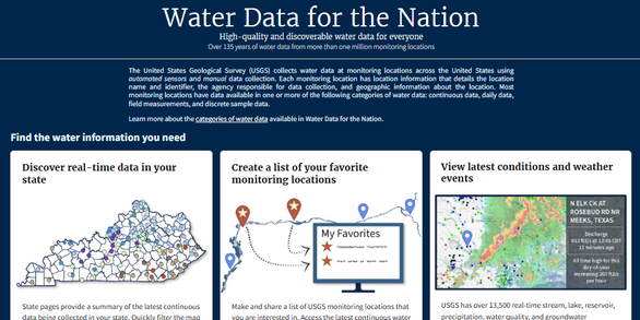
Water Data for the Nation is a portal for real‑time and historical water information, providing access to streamflow, groundwater, water quality, and water‑use data.
National StreamStats Application
National StreamStats Application

The StreamStats map-based user interface can be used to delineate drainage areas, get basin characteristics and estimates of flow statistics, and more.
New England Water Conditions Explorer
New England Water Conditions Explorer
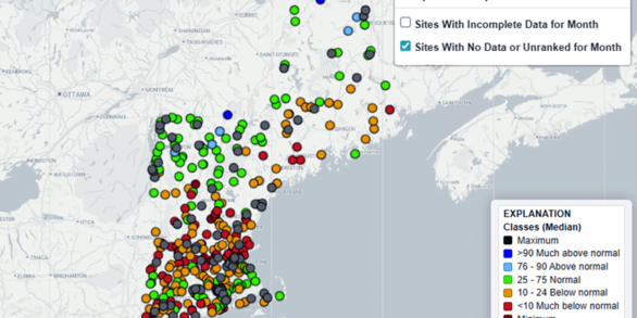
The New England Water Conditions Explorer provides interactive maps showing current surface water and groundwater conditions in the context of historical data.