
Cover of the Coastal Science Navigator Companion Guide. The guide introduces some of the many coastal change hazards-related products available through the USGS. In it, we showcase the products included in the Coastal Science Navigator’s initial publication in July 2023.
Multimedia
Multimedia products produced by Woods Hole Coastal and Marine Science Center staff
Images

Companion Guide Cover
Cover of the Coastal Science Navigator Companion Guide. The guide introduces some of the many coastal change hazards-related products available through the USGS. In it, we showcase the products included in the Coastal Science Navigator’s initial publication in July 2023.

Our Coasts are Valuable
Our coast is valuable and so is the science that protects it.
Our coast is valuable and so is the science that protects it.

Brita Jessen staff profile photo
Staff profile photo of Brita Jessen, the Center Director of Woods Hole Coastal and Marine Science Center.
Staff profile photo of Brita Jessen, the Center Director of Woods Hole Coastal and Marine Science Center.

Woods Hole Science Stroll 2024
Seth Ackerman (USGS Geologist) talking to a visitor at the USGS booth for the 2024 Woods Hole Science Stroll.
Seth Ackerman (USGS Geologist) talking to a visitor at the USGS booth for the 2024 Woods Hole Science Stroll.

Woods Hole Science Stroll 2024
Visitor during the 2024 Woods Hole Science Stroll talking to Marie Bartlett (USGS Geologist) about the foraminifera she viewed in the USGS microscope.
Visitor during the 2024 Woods Hole Science Stroll talking to Marie Bartlett (USGS Geologist) about the foraminifera she viewed in the USGS microscope.

Woods Hole Science Stroll 2024
Seth Ackerman (USGS Geologist) discussing USGS science at the Woods Hole Science Stroll.
Seth Ackerman (USGS Geologist) discussing USGS science at the Woods Hole Science Stroll.
Videos

The USGS Northeast Region: Delivering Science for Better Decisions
This video is an introduction of the USGS Northeast Region's science efforts to support society's evolving needs through its engaged and diverse workforce.
This video is an introduction of the USGS Northeast Region's science efforts to support society's evolving needs through its engaged and diverse workforce.

Introduction to the USGS Coastal Science Navigator
The Coastal Science Navigator is intended to help users discover USGS Coastal Change Hazards information, products, and tools relevant to their scientific or decision-making needs.
The Coastal Science Navigator is intended to help users discover USGS Coastal Change Hazards information, products, and tools relevant to their scientific or decision-making needs.

Flyover of the U.S. Coastline
Our Nation’s coastlines are almost 100,000 miles long. These extensive coastal areas stretch from Maine’s Atlantic shores in the northeast, south along the shores of the Gulf of Mexico and insular areas in the Caribbean.
Our Nation’s coastlines are almost 100,000 miles long. These extensive coastal areas stretch from Maine’s Atlantic shores in the northeast, south along the shores of the Gulf of Mexico and insular areas in the Caribbean.

Assateague Island National Seashore
sUAS coastal Imagery collected by the Woods Hole Coastal and Marine Science Center Aerial Imaging and Mapping group (AIM) at Assateague Island National Seashore October 10-14th, 2022.
sUAS coastal Imagery collected by the Woods Hole Coastal and Marine Science Center Aerial Imaging and Mapping group (AIM) at Assateague Island National Seashore October 10-14th, 2022.
Webcams

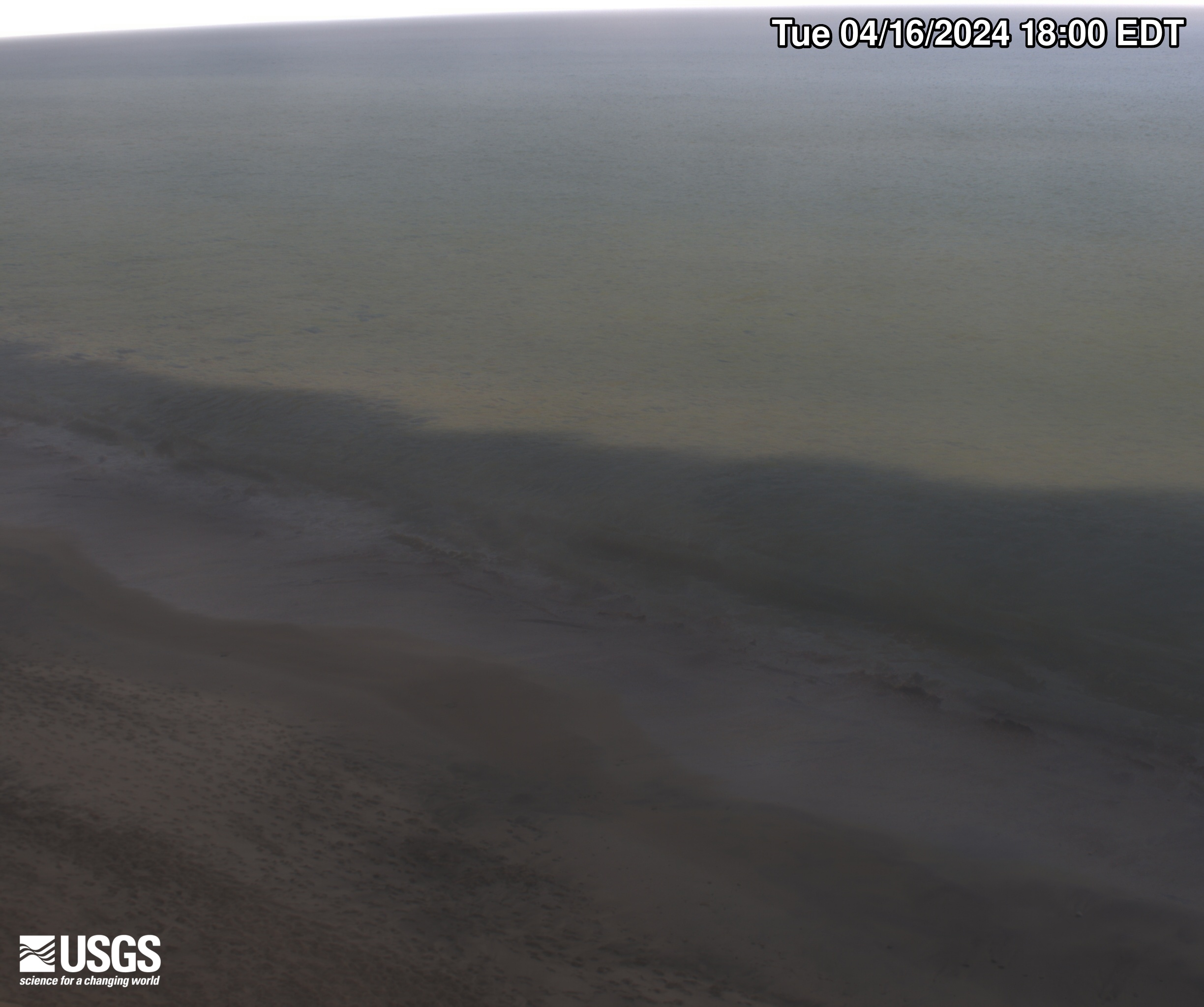
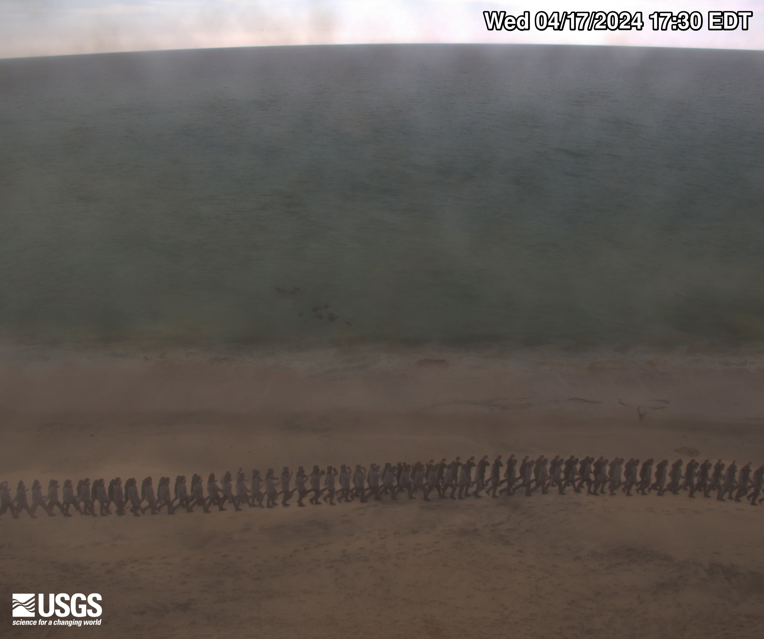
Pea Island video camera 1 snapshot
Two video cameras are temporarily mounted on a dune at Pea Island National Wildlife Refuge on the Outer Banks of North Carolina. The cameras are imaging the southern DUNEX (DUring Nearshore Event eXperiment) experiment site, and are designed to have a stereo view of the beach and potential overwash path until late October. Instruments from the U.S.
Two video cameras are temporarily mounted on a dune at Pea Island National Wildlife Refuge on the Outer Banks of North Carolina. The cameras are imaging the southern DUNEX (DUring Nearshore Event eXperiment) experiment site, and are designed to have a stereo view of the beach and potential overwash path until late October. Instruments from the U.S.

Pea Island video camera 2 snapshot
Two video cameras are temporarily mounted on a dune at Pea Island National Wildlife Refuge on the Outer Banks of North Carolina. The cameras are imaging the southern DUNEX (DUring Nearshore Event eXperiment) experiment site, and are designed to have a stereo view of the beach and potential overwash path until late October. Instruments from the U.S.
Two video cameras are temporarily mounted on a dune at Pea Island National Wildlife Refuge on the Outer Banks of North Carolina. The cameras are imaging the southern DUNEX (DUring Nearshore Event eXperiment) experiment site, and are designed to have a stereo view of the beach and potential overwash path until late October. Instruments from the U.S.
Marconi Beach video camera 1 dark image
Two video cameras are mounted on a bluff above Marconi Beach, Cape Cod National Seashore, Wellfleet, MA. Every half hour, the video cameras collect imagery for 10 minutes. This is the “dark” image, the darkest pixel values throughout the video, useful for tracking sediment plumes, tracking floating debris, and filtering out breaking waves.
Two video cameras are mounted on a bluff above Marconi Beach, Cape Cod National Seashore, Wellfleet, MA. Every half hour, the video cameras collect imagery for 10 minutes. This is the “dark” image, the darkest pixel values throughout the video, useful for tracking sediment plumes, tracking floating debris, and filtering out breaking waves.
Marconi Beach video camera 2 dark image
Two video cameras are mounted on a bluff above Marconi Beach, Cape Cod National Seashore, Wellfleet, MA. Every half hour, the video cameras collect imagery for 10 minutes. This is the “dark” image, the darkest pixel values throughout the video, useful for tracking sediment plumes, tracking floating debris, and filtering out breaking waves.
Two video cameras are mounted on a bluff above Marconi Beach, Cape Cod National Seashore, Wellfleet, MA. Every half hour, the video cameras collect imagery for 10 minutes. This is the “dark” image, the darkest pixel values throughout the video, useful for tracking sediment plumes, tracking floating debris, and filtering out breaking waves.

Marconi Beach video camera 1 variance image
Two video cameras are mounted on a bluff above Marconi Beach, Cape Cod National Seashore, Wellfleet, MA. Every half hour, the video cameras collect imagery for 10 minutes.
Two video cameras are mounted on a bluff above Marconi Beach, Cape Cod National Seashore, Wellfleet, MA. Every half hour, the video cameras collect imagery for 10 minutes.

Marconi Beach video camera 2 variance image
Two video cameras are mounted on a bluff above Marconi Beach, Cape Cod National Seashore, Wellfleet, MA. Every half hour, the video cameras collect imagery for 10 minutes.
Two video cameras are mounted on a bluff above Marconi Beach, Cape Cod National Seashore, Wellfleet, MA. Every half hour, the video cameras collect imagery for 10 minutes.