
Bathymetric map of offshore Oregon with Stonewall, Heceta, and Siltcoos Banks labeled.
Images
Coastal and Marine Hazards and Resources Program images.
Filter Total Items: 2420

Bathymetric map of offshore Oregon
Bathymetric map of offshore Oregon with Stonewall, Heceta, and Siltcoos Banks labeled.

Bathymetric map of offshore Washington
Bathymetric map of offshore Washington reveals seafloor features and submarine canyons.
Bathymetric map of offshore Washington reveals seafloor features and submarine canyons.

Cascadia megathrust fault map
Topo-bathymetric map of the Cascadia subduction zone. Cascadia megathrust fault (white line); approximate shelf break along 200-m isobath (yellow line); MTJ, Mendocino triple junction.
Topo-bathymetric map of the Cascadia subduction zone. Cascadia megathrust fault (white line); approximate shelf break along 200-m isobath (yellow line); MTJ, Mendocino triple junction.

Aerial image from post-Hurricane Isaias of North Carolina coast
Aerial image from post-Hurricane Isaias of North Carolina coastThe USGS Remote Sensing Coastal Change Project collected aerial imagery of the northern Outer Banks, North Carolina coastline from pre- and post-Hurricane Isaias, in order to use Structure-from-Motion techniques to produce digital elevation models (DEMs) and orthomosaic photos, to be used in evaluating the storm-induced coastal change, such as sand transported onto
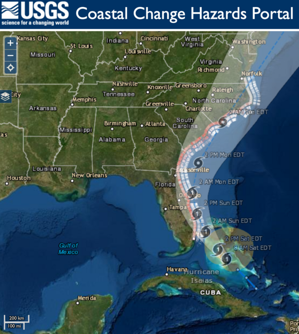
Hurricane Isaias Unlikely to Cause Widespread Atlantic Beach Erosion
Hurricane Isaias Unlikely to Cause Widespread Atlantic Beach ErosionUSGS coastal change experts predict that storm waves kicked up by the Category 1 hurricane are likely to cause some erosion at the base of the dunes along about 11 percent of coastal beaches between Florida and Virginia.

Elwha River delta
View looks southwest along the eastern flank of the Elwha River delta and back towards the mouth of the river. USGS conducts regular surveys along this stretch of coastline, to monitor the evolving coastline following removal of the Elwha and Glines Canyon Dams, completed in 2014.
View looks southwest along the eastern flank of the Elwha River delta and back towards the mouth of the river. USGS conducts regular surveys along this stretch of coastline, to monitor the evolving coastline following removal of the Elwha and Glines Canyon Dams, completed in 2014.

Taking PPE to a whole new level
You have to be able to have a little fun when in the field. A colleague from the Washington State Department of Ecology hams it up while prepping for a beach survey with scientists from the USGS Pacific Coastal and Marine Science Center.
You have to be able to have a little fun when in the field. A colleague from the Washington State Department of Ecology hams it up while prepping for a beach survey with scientists from the USGS Pacific Coastal and Marine Science Center.

Fort Stevens State Park
Photo of surf zone offshore of Fort Stevens State Park taken from the Columbia River South Jetty observation deck.
Photo of surf zone offshore of Fort Stevens State Park taken from the Columbia River South Jetty observation deck.

Seamline Appearance Before and After Applying a DEM Fusion Algorithm
Seamline Appearance Before and After Applying a DEM Fusion AlgorithmA map series showing a subset of the Puerto Rico bathymetric study area. Panels compare a “simple mosaic” formed by overlaying the most recent dataset on top of the older dataset (left panel) with the same dataset processed with the DEM fusion method (right panel).

Vegetated dunes on Cocoa Beach, Florida
A view looking north on Cocoa beach towards Kennedy Space Station. Coastal infrastructure and natural resources such as sediment and beach vegetation can all be affected by coastal change processes.
A view looking north on Cocoa beach towards Kennedy Space Station. Coastal infrastructure and natural resources such as sediment and beach vegetation can all be affected by coastal change processes.

A large washover fan on Fire Island, New York in 2012 after Hurricane
A large washover fan on Fire Island, New York in 2012 after HurricaneStrong storms such as hurricanes can cause drastic changes to coastal environments. For example, this large washover fan was created on Fire Island, New York in 2012 after Hurricane Sandy by waves moving sediment from the dunes and beach towards the back-barrier environment.

Social distancing in the field
Safety is a top priority. USGS staff recently improved access to field sites at the Herring River estuary within the Cape Cod National Seashore to provide safer paths through a phragmites wetland.
Safety is a top priority. USGS staff recently improved access to field sites at the Herring River estuary within the Cape Cod National Seashore to provide safer paths through a phragmites wetland.

EXPRESS surveys, dives, and sampling locations
The west coast of the United States showing locations of EXPRESS ship-based multibeam surveys, ROV dives, AUV dives, and sediment samples. Red boxes show locations of close-up views of multibeam bathymetry in Figures 2 and 3.
The west coast of the United States showing locations of EXPRESS ship-based multibeam surveys, ROV dives, AUV dives, and sediment samples. Red boxes show locations of close-up views of multibeam bathymetry in Figures 2 and 3.

Figure 5 offshore Morro Bay seafloor detail
Colored shaded-relief bathymetry including pockmarks offshore Morro Bay, California. Map generated from AUV-based multibeam bathymetry data collected by MBARI.
Colored shaded-relief bathymetry including pockmarks offshore Morro Bay, California. Map generated from AUV-based multibeam bathymetry data collected by MBARI.

Trinidad submarine canyon bathymetry
Colored, shaded-relief bathymetry of Trinidad Submarine Canyon northwest of Humboldt Bay in northern California. Area is in the vicinity of a potential offshore renewable energy development. See larger map for location.
Colored, shaded-relief bathymetry of Trinidad Submarine Canyon northwest of Humboldt Bay in northern California. Area is in the vicinity of a potential offshore renewable energy development. See larger map for location.

Figure 4 offshore Morro Bay seafloor detail
Colored shaded-relief bathymetry including submarine channels and pockmarks offshore Morro Bay, California. Map generated from AUV-based multibeam bathymetry data collected by MBARI both prior to and as a part of EXPRESS.
Colored shaded-relief bathymetry including submarine channels and pockmarks offshore Morro Bay, California. Map generated from AUV-based multibeam bathymetry data collected by MBARI both prior to and as a part of EXPRESS.

Offshore central California bathymetry
Colored, shaded-relief bathymetry offshore central California. Data supported management of National Marine Sanctuaries and prospective renewable energy decisions. Black ovals are locations of AUV-based multibeam surveys. Close-up views of two AUV surveys are shown in Figures 4 and 5.
Colored, shaded-relief bathymetry offshore central California. Data supported management of National Marine Sanctuaries and prospective renewable energy decisions. Black ovals are locations of AUV-based multibeam surveys. Close-up views of two AUV surveys are shown in Figures 4 and 5.

Rebecca Sanders-DeMott performing maintenance on an eddy flux tower
Rebecca Sanders-DeMott performing maintenance on an eddy flux towerInstruments continue to collect vital data during workplace closures. Here staff perform maintenance on an eddy flux tower located within a phragmites wetland at the Cape Cod National Seashore. The instruments on this tower measure methane and CO2 fluxes related to plant and soil processes day in and day out for the entire year.

Distribution of usSEABED data output files
Image showing the distribution of usSEABED data output files US9_EXT (blue triangles) and US9_PRS (pink circles) around the continental United States, Hawai'i, and Puerto Rico.
Image showing the distribution of usSEABED data output files US9_EXT (blue triangles) and US9_PRS (pink circles) around the continental United States, Hawai'i, and Puerto Rico.

Map of gas hydrate locations, known and inferred
Map of gas hydrate locations, known and inferred. Browse graphic for ScienceBase data release, Preliminary global database of known and inferred gas hydrate locations.
Map of gas hydrate locations, known and inferred. Browse graphic for ScienceBase data release, Preliminary global database of known and inferred gas hydrate locations.

The new face of fieldwork
Marine technician Dan Powers, from the Pacific Coastal and Marine Science Center's Marine Facility (PCMSC MarFac), wears all the required personal protective equipment: bib waders, personal floatation device, and mask.
Marine technician Dan Powers, from the Pacific Coastal and Marine Science Center's Marine Facility (PCMSC MarFac), wears all the required personal protective equipment: bib waders, personal floatation device, and mask.