



Hydrologic Monitoring Branch
Applied Hydrology Branch
Hydrologic Interpretive Branch
Stay in-the-know with New England Water Science Center’s WaterMarks Newsletter
New England Water Science Center
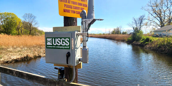
Welcome to the USGS New England Water Science Center. We provide timely and reliable information to Federal, State, Tribal, and local stakeholders on the water resources of Connecticut, Maine, Massachusetts, New Hampshire, Rhode Island, and Vermont. Our data help safeguard human and wildlife health, public safety, and environmental sustainability.
For assistance, contact us on our Connect page.

News
New England WSC Products in the Third Quarter of 2026
New England WSC Products in the Third Quarter of 2026
A Pristine Headwaters Ecosystem as an Outdoor Laboratory for Foundational Science
A Pristine Headwaters Ecosystem as an Outdoor Laboratory for Foundational Science
USGS Launches Interactive Streamflow Map Tools
USGS Launches Interactive Streamflow Map Tools
Publications
Anthropogenic and geogenic factors affecting groundwater arsenic and potential drinking water exposure in the San Luis Valley, Colorado Anthropogenic and geogenic factors affecting groundwater arsenic and potential drinking water exposure in the San Luis Valley, Colorado
Groundwater arsenic is a serious health threat in many regions with limited surface water drinking supplies. In the San Luis Valley, Colorado, USA, where most residents rely on groundwater for drinking water, elevated groundwater arsenic concentrations (≥5 μg/L) were observed in 19.8% of private wells. Many recent studies have leveraged data science methods to estimate the spatial...
Streamflow, water quality, and constituent loads and yields, Scituate Reservoir drainage area, Rhode Island, water year 2023 Streamflow, water quality, and constituent loads and yields, Scituate Reservoir drainage area, Rhode Island, water year 2023
As part of a long-term cooperative program to monitor water quality within the Scituate Reservoir drainage area, the U.S. Geological Survey, in cooperation with Providence Water (formerly the Providence Water Supply Board), collected streamflow and water-quality data in tributaries to the Scituate Reservoir, Rhode Island. Streamflow and concentrations of chloride and sodium estimated...
Transdisciplinary approach to private well research Transdisciplinary approach to private well research
More than 60 million people in the United States and Canada rely on private drinking water systems (mostly private wells), which fall outside of national regulations for water quality and management. This decentralized infrastructure creates unique challenges. First, fragmented policy oversight leads to inconsistent data availability. Second, population heterogeneity in well users...
Science
Northeast Region Urban Landscapes Capability Team
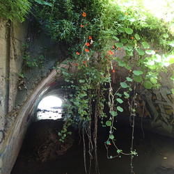
Learn about the Northeast Region Urban Landscapes Capabilities Team.
Gulf of Maine
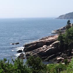
The New England Water Science Center applies landscape science to understand water-resource challenges at the scales where decisions are made—from a local stream or aquifer to an entire watershed, river basin, or region. We combine long-term monitoring, field studies, laboratory analysis, mapping, modeling, and data delivery. By linking hydrologic, water-quality, ecological, climate, and land-use...
Algal Community Composition within the Lower Norwalk River
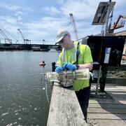
Harmful algal blooms (HABs), fish kills, and shellfish contamination are increasingly affecting coastal estuaries like the Norwalk River. Understanding the microscopic algae responsible for these events is essential for protecting public health, local economies, and marine ecosystems. As the environmental conditions of estuaries continue to change from nutrient enrichment, warming temperatures...