USGS National Uncrewed Systems Office (NUSO) remote pilot flies an uncrewed aircraft system (UAS) carrying a hyperspectral imaging payload at Willow Creek Reservoir near Granby, Colorado. This data collection supported harmful algae bloom and water quality research led by the Colorado Water Science Center.
Images
USGS National Uncrewed Systems Office (NUSO) remote pilot flies an uncrewed aircraft system (UAS) carrying a hyperspectral imaging payload at Willow Creek Reservoir near Granby, Colorado. This data collection supported harmful algae bloom and water quality research led by the Colorado Water Science Center.
USGS remote pilots fly uncrewed aircraft systems to capture hyperspectral imagery and video footage at Willow Creek Reservoir in support of harmful algae bloom and water quality research led by the Colorado Water Science Center.
Tarps and targets used in UAS calibration and validation
Tarps and targets used in UAS calibration and validationGreyscale tarps and ground control points were placed on land during harmful algae mapping fieldwork at Willow Creek Reservoir near Granby, CO. These targets enable calibration and validation of hyperspectral data captured by uncrewed aircraft systems (UAS) to study water quality and algae conditions across the reservoir.
Tarps and targets used in UAS calibration and validation
Tarps and targets used in UAS calibration and validationGreyscale tarps and ground control points were placed on land during harmful algae mapping fieldwork at Willow Creek Reservoir near Granby, CO. These targets enable calibration and validation of hyperspectral data captured by uncrewed aircraft systems (UAS) to study water quality and algae conditions across the reservoir.
An uncrewed aircraft system (UAS) flies over the open water at Willow Creek Reservoir during a harmful algae bloom research campaign.
Preparing drone for data collection at Willow Creek Reservoir near Granby, Colorado
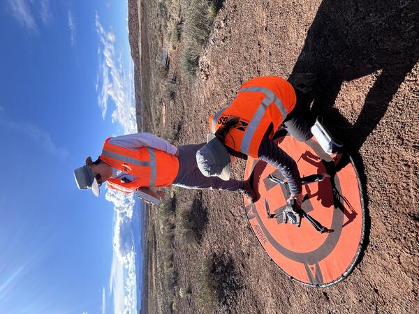
Preparing drone for data collection at Willow Creek Reservoir near Granby, ColoradoUSGS National Uncrewed Systems Office (NUSO) remote pilot prepares an uncrewed aircraft system (UAS) for hyperspectral data collection at Willow Creek Reservoir near Granby, Colorado. This data collection supported harmful algae bloom and water quality research led by the Colorado Water Science Center.
Preparing drone for data collection at Willow Creek Reservoir near Granby, Colorado
Preparing drone for data collection at Willow Creek Reservoir near Granby, ColoradoUSGS National Uncrewed Systems Office (NUSO) remote pilot prepares an uncrewed aircraft system (UAS) for hyperspectral data collection at Willow Creek Reservoir near Granby, Colorado. This data collection supported harmful algae bloom and water quality research led by the Colorado Water Science Center.
Setting up instruments for UAS flights at Williams Fork Reservoir, Colorado
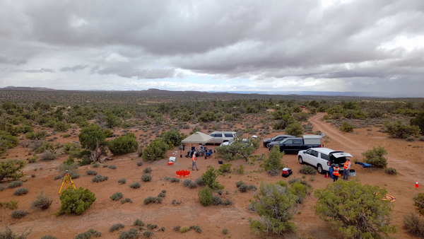
Setting up instruments for UAS flights at Williams Fork Reservoir, ColoradoUSGS National Uncrewed Systems Office (NUSO) remote pilot sets up a Global Navigation Satellite System (GNSS) base station to enable geospatial positioning corrections of remote sensing data at Williams Fork Reservoir near Kremmling, Colorado.
Setting up instruments for UAS flights at Williams Fork Reservoir, Colorado
Setting up instruments for UAS flights at Williams Fork Reservoir, ColoradoUSGS National Uncrewed Systems Office (NUSO) remote pilot sets up a Global Navigation Satellite System (GNSS) base station to enable geospatial positioning corrections of remote sensing data at Williams Fork Reservoir near Kremmling, Colorado.
USGS personnel hike through tall grasses and over fallen trees to access a launch site for uncrewed aircraft systems (UAS) lidar data collection as part of the Ackerson Meadow restoration in Yosemite National Park, California.
Oblique natural color view of Ackerson Meadow in Yosemite National Park, California, taken using UAS.
A USGS National Uncrewed Systems Office (NUSO) remote pilot flies an uncrewed aircraft system (UAS) carrying a lidar sensor to map vegetation and topography during the Ackerson Meadow restoration in Yosemite National Park, California.
An uncrewed aircraft system (UAS) with a mounted lidar sensor sits on an orange landing pad in a field of purple flowers at Ackerson Meadow in Yosemite National Park, California. Repeat lidar data scans were collected by the USGS National Uncrewed Systems Office (NUSO) to quantify vegetation and topographic changes during meadow restoration.
USGS National Uncrewed Systems Office (NUSO) remote pilot Mark Bauer prepares an uncrewed aircraft system (UAS) for lidar data collection at Ackerson Meadow in Yosemite National Park, California.
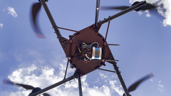
Drone with hyperspectral imaging payload with integrated lidar sensor
Drone with hyperspectral imaging payload with integrated lidar sensorUncrewed aircraft system (UAS) carrying a hyperspectral imaging payload with integrated lidar sensor during test and evaluation flights by the USGS National Uncrewed Systems Office.
Any use of trade, firm, logos, or product names is for descriptive purposes only and does not imply endorsement by the U.S. Government.
Drone with hyperspectral imaging payload with integrated lidar sensor
Drone with hyperspectral imaging payload with integrated lidar sensorUncrewed aircraft system (UAS) carrying a hyperspectral imaging payload with integrated lidar sensor during test and evaluation flights by the USGS National Uncrewed Systems Office.
Any use of trade, firm, logos, or product names is for descriptive purposes only and does not imply endorsement by the U.S. Government.
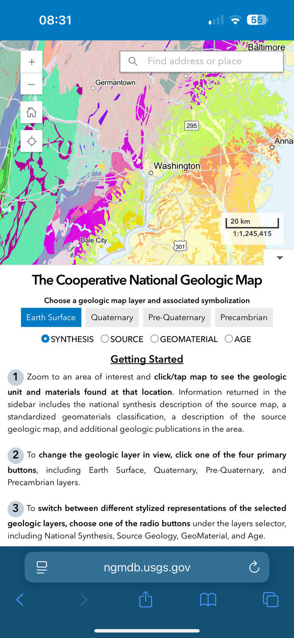
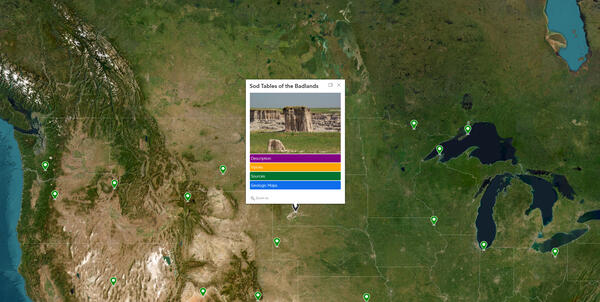
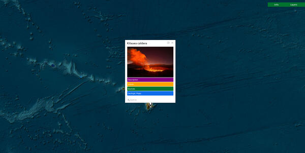
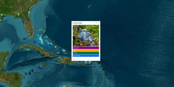
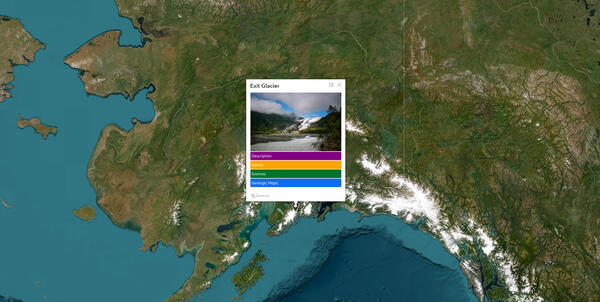
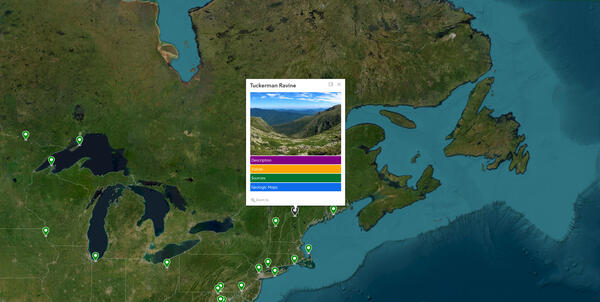
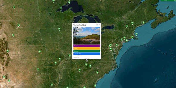
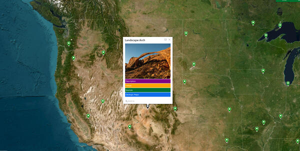
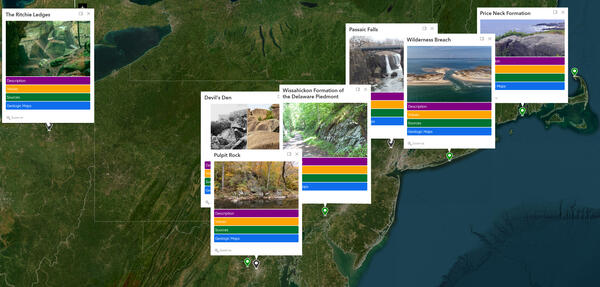
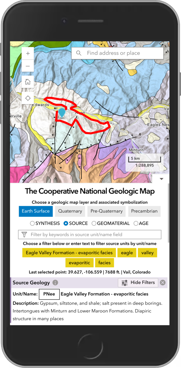
The USGS Cooperative National Geologic Map on smartphone
The USGS Cooperative National Geologic Map on smartphoneThe new USGS Cooperative National Geologic Map web tool was designed to also be mobile friendly, allowing users to explore geologic data from smartphones and tablets, in addition to larger devices. USGS image.
The USGS Cooperative National Geologic Map on smartphone
The USGS Cooperative National Geologic Map on smartphoneThe new USGS Cooperative National Geologic Map web tool was designed to also be mobile friendly, allowing users to explore geologic data from smartphones and tablets, in addition to larger devices. USGS image.
The USGS Cooperative National Geologic Map on a smartphone
The USGS Cooperative National Geologic Map on a smartphoneThe new USGS Cooperative National Geologic Map web tool was designed to be mobile friendly, allowing users to explore geologic data easily from their smartphones or tablets. USGS image.
The USGS Cooperative National Geologic Map on a smartphone
The USGS Cooperative National Geologic Map on a smartphoneThe new USGS Cooperative National Geologic Map web tool was designed to be mobile friendly, allowing users to explore geologic data easily from their smartphones or tablets. USGS image.
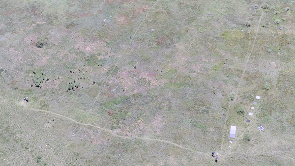
Uncrewed aircraft systems (UAS) instrument validation and calibration
Uncrewed aircraft systems (UAS) instrument validation and calibrationDrone-captured photo of a vegetated field in Golden, Colorado. Faint paths visible across the grass formed from the consistent, repeated pattern walked by a spectrometer operator multiple times per day for multiple days in a row.
Uncrewed aircraft systems (UAS) instrument validation and calibration
Uncrewed aircraft systems (UAS) instrument validation and calibrationDrone-captured photo of a vegetated field in Golden, Colorado. Faint paths visible across the grass formed from the consistent, repeated pattern walked by a spectrometer operator multiple times per day for multiple days in a row.
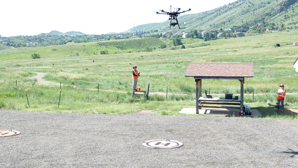
Collecting data using uncrewed aircraft systems (UAS)
Collecting data using uncrewed aircraft systems (UAS)USGS remote pilot Matt Burgess flies a drone to collect hyperspectral data over a field in Golden, Colorado.
Collecting data using uncrewed aircraft systems (UAS)
Collecting data using uncrewed aircraft systems (UAS)USGS remote pilot Matt Burgess flies a drone to collect hyperspectral data over a field in Golden, Colorado.
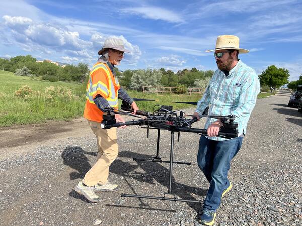
USGS remote pilots Joe Adams and Todd Burton carry a drone during flight training at the Denver Federal Center.
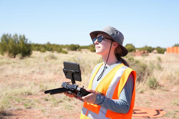
Uncrewed aircraft system (UAS) remote pilot Victoria Scholl
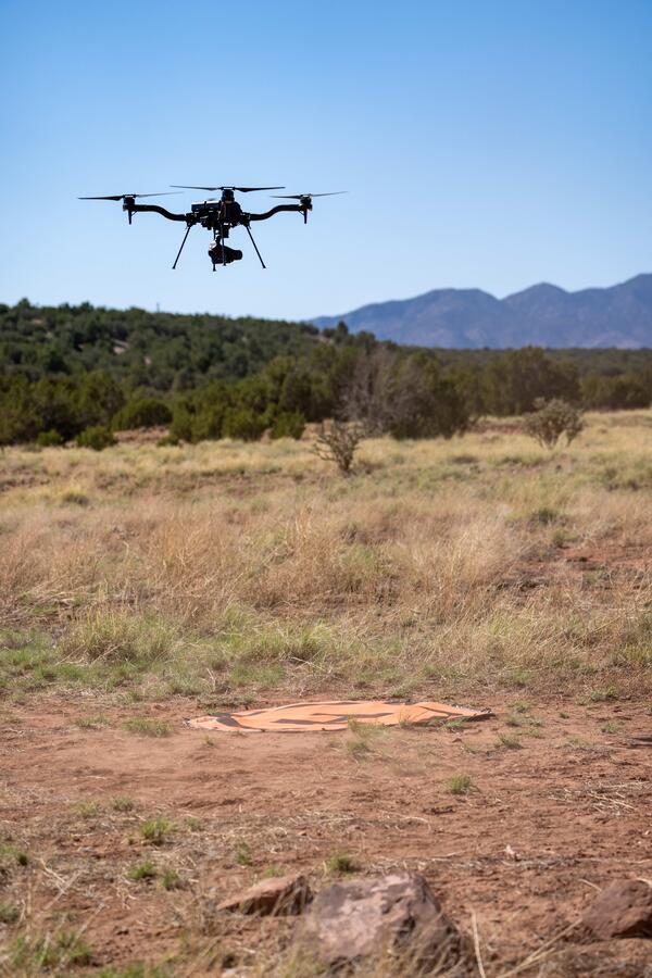
Uncrewed aircraft system (UAS) remote pilot Victoria SchollU.S. Geological Survey remote pilot Victoria Scholl flies a drone with camera payload to capture natural color images for photogrammetric mapping of the Abó Ruins at Salinas Pueblo Missions National Monument in Mountainair, New Mexico.
Uncrewed aircraft system (UAS) remote pilot Victoria Scholl
Uncrewed aircraft system (UAS) remote pilot Victoria SchollU.S. Geological Survey remote pilot Victoria Scholl flies a drone with camera payload to capture natural color images for photogrammetric mapping of the Abó Ruins at Salinas Pueblo Missions National Monument in Mountainair, New Mexico.
Using uncrewed aircraft systems (UAS) to map Abó Ruins
Using uncrewed aircraft systems (UAS) to map Abó RuinsThe U.S. Geological Survey National Uncrewed Systems Office flew uncrewed aircraft systems (UAS) to map the Abó Ruins at Salinas Pueblo Missions National Monument in Mountainair, New Mexico.
Using uncrewed aircraft systems (UAS) to map Abó Ruins
Using uncrewed aircraft systems (UAS) to map Abó RuinsThe U.S. Geological Survey National Uncrewed Systems Office flew uncrewed aircraft systems (UAS) to map the Abó Ruins at Salinas Pueblo Missions National Monument in Mountainair, New Mexico.
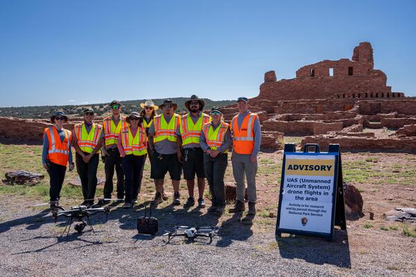
U.S. Geological Survey and National Park Service personnel stand with drone technologies used for mapping the Abó Ruins at Salinas Pueblo Missions National Monument in Mountainair, New Mexico.