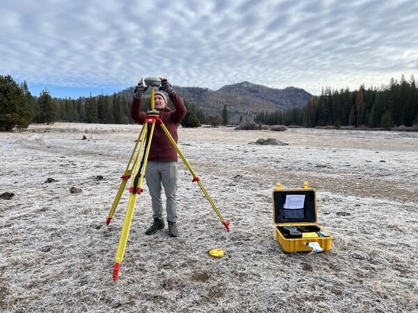
Photograph showing sampling high terraces along the San Juan River
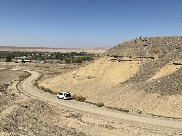
Photograph showing sampling high terraces along the San Juan RiverCharacterizing geochemistry, provenance, and age of river terrace deposits to identify potential changes in the distribution, concentration, and sources of critical minerals and contaminants through the geologic past and into the present following mining activities.