NUSO researchers prepare for evaluation flights with a vertical take-off and landing UAS
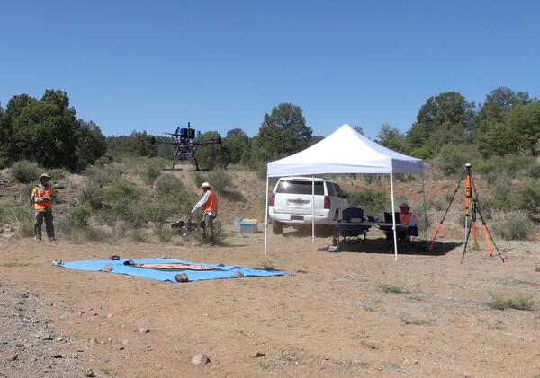
NUSO researchers prepare for evaluation flights with a vertical take-off and landing UASNUSO researchers Matt Burgess and Mark Bauer prepare for evaluation flights with the WingtraOne GEN II vertical take-off and landing mapping UAS equipped with the newly released lidar payload.