FORT economists and social scientists investigate the complex relationship between nature and humans
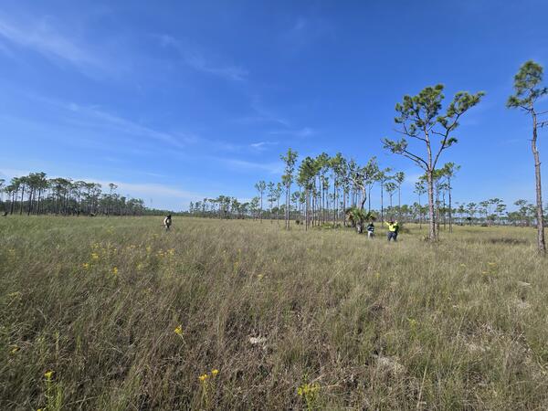
Research includes studies of outdoor recreation, wildfire risk assessments, and economic impacts of invasive grasses.
FORT scientists produce tools and research for better management of invasive species
FORT invasive species research spans a wide range of taxonomic groups and landscapes, from python invaders in the Everglades to annual grasses that exacerbate wildland fire risk in the western United states.
FORT researchers improve methods for effective monitoring and management of wild horses and burros.
FORT researchers produce cutting-edge science and resource mapping to inform energy development in southwestern Wyoming
FORT scientists investigate infectious diseases like chronic wasting disease, plague, and white-nose syndrome to support the management of wildlife populations
FORT Laboratories and Facilities like the Molecular Ecology Lab provide essential capabilities to support the Department of Interior
FORT researchers conduct world-class science on the effects and consequences of drought across the western United States
Fort Collins Science Center
Welcome to the Fort Collins Science Center (FORT) located in Fort Collins, Colorado, just east of the Rocky Mountains. At FORT we develop and disseminate research-based information and tools needed to understand the nation’s natural resources in support of effective decision making.
Burmese Pythons Invade the Everglades

The Florida Everglades encompass a vast subtropical ecosystem. Billions of dollars have been committed to the long-term restoration of this ecosystem, but burgeoning populations of introduced and invasive reptiles threaten prospects for restoration.
North American Bat Monitoring Program

The North American Bat Monitoring Program (NABat) is an international, interagency program designed to monitor bat distributions and abundances on public and private lands, and provide trend data at the state, provincial, tribal, regional, and range-wide scales.
Science in Support of Resource Management
The pages below highlight current science in support of the research priorities of the U.S. Department of the Interior’s resource management bureaus as well as other Federal and State agencies, Native American Tribes, academic institutions, and non-governmental organizations.
News
National Conservation Lands: A hub for scientific discovery
New habitat suitability model to inform decision making and recover rare species in New Mexico
Earth Science Matters - Vol. 21 | Issue 1
Publications
New methods provide a 300–year perspective on modern area burned in two wilderness areas of the southwest United States New methods provide a 300–year perspective on modern area burned in two wilderness areas of the southwest United States
Monitoring recreation on federally managed lands and waters—Aspects of visitor use Monitoring recreation on federally managed lands and waters—Aspects of visitor use
The Appalbees menu: A multiyear, multilocus metagenetic assessment of pollen foraging by Appalachian Bombus affinis workers The Appalbees menu: A multiyear, multilocus metagenetic assessment of pollen foraging by Appalachian Bombus affinis workers
Science
AI-driven science synthesis tools for resource managers

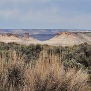
USGS Sagebrush Science: Supporting Public Safety and Economic Decision Making Across the West