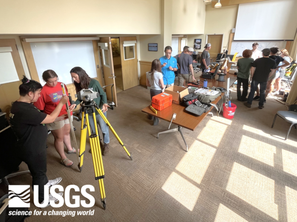
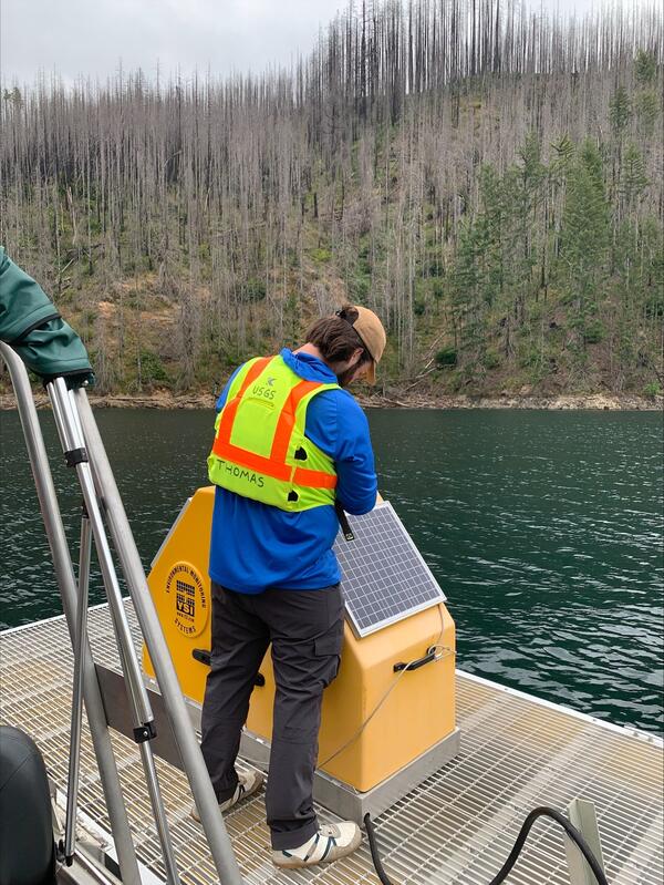
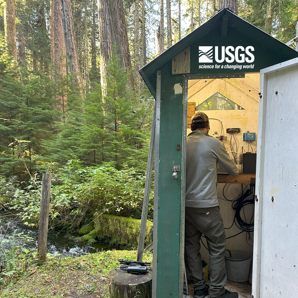
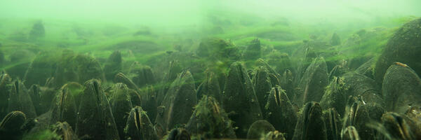
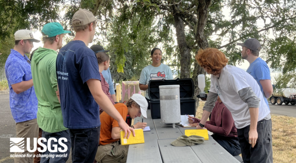
During a routine cleaning, a technician holds up a water-quality sonde to show its sensors. Each sensor measures a different water-quality value, such as temperature or dissolved oxygen. A central wiper helps keep the sensors clean between technician inspections.
Images
Check out photos of some of the awesome work USGS scientists and field technicians have done over the years.
During a routine cleaning, a technician holds up a water-quality sonde to show its sensors. Each sensor measures a different water-quality value, such as temperature or dissolved oxygen. A central wiper helps keep the sensors clean between technician inspections.
The sonar equipment monitors streambed elevation near the bridge footing to measure scour depth. Accurately measuring scour depth is essential for evaluating bridge safety. During short storm events, crews may not arrive in time to monitor in real-time. Without continuous monitoring, the deepest scour could be missed if the hole refills before inspection.
Field crew installs sonar equipment on the highway 99W bridge over the Luckiamute River near Parker Oregon.
The Tualatin River in Oregon flows approximately 83 miles from the Northern Oregon Coast Range to the Willamette River, providing vital water resources and habitat across the Tualatin Valley.
USGS Hydrologist is looking at a headcut/headward erosion/knickpoint in thr center-right of photo during field effort to verify geomorphic mapping.
When Fern Ridge Lake levels are low the Long Tom River can be seen meandering through the reservoir. Check out the USGS water elevation gage at Fern Ridge Lake Near Elmira, OR - 14168000.
Hydrologic technician at the South Santiam streamflow gage
Hydrologic technician at the South Santiam streamflow gageMorgan, an Oregon Water Science Center hydrologic technician stands under a rainbow during field work at the South Santiam River near Foster, OR streamflow gage (14187200).
Hydrologic technician at the South Santiam streamflow gage
Hydrologic technician at the South Santiam streamflow gageMorgan, an Oregon Water Science Center hydrologic technician stands under a rainbow during field work at the South Santiam River near Foster, OR streamflow gage (14187200).
Multispectral camera system on Cessna 182 aircraft
Multispectral camera system on Cessna 182 aircraftMultispectral camera system on Cessna 182 aircraft. Aerial imagery was collected to support research efforts within the Willamette River Integrated Water Science basin as part of the USGS Next Generation Water Observing System (NGWOS).
Temperature logger attached to submerged cobble in Quartzville Creek, OR. This logger was placed as part of an ongoing effort to retrieve continuous temperature data from rivers and tributaries within the Willamette River basin, OR.
Hydrologist, Rod Owre, uses an acoustic doppler current profiler to measure the speed and direction of water currents using sound waves.
White Salmon River near Underwood, Washington (14123500). Photo taken by Adam Ostman, hydrologic technician, during a routine site visit. The streamgage is the small square building on the right river bank.
An acoustic doppler current profiler (ADCP) is attached to a bank mounted cable way so it can be pulled across the channel to measure the river flow. White Salmon River Near Underwood, Washington (14123500).
A piezometer is a device used to measure the pressure of a liquid, particularly water, within a specific point of a system, such as soil, rock, or a pipe. It is widely used in geotechnical, hydrogeological, and civil engineering applications to monitor water levels, pore water pressure, and hydraulic head in the ground or other systems.
Benthic cyanobacteria are a type of photosynthetic bacteria that live on the bottom of aquatic environments, such as lakes, rivers, oceans, and wetlands. The term "benthic" refers to their habitat in the sediment or substrate of these water bodies, as opposed to being free-floating in the water column (planktonic).
Water quality readings, like temperature and dissolved oxygen, are taken during field visits at Bethany Lake.
The concrete weir that impounds Bethany Lake was constructed in the 1950's to provide irrigation for Rock Creek Golf Course.
Rock Creek flows north to south in Washington County, Oregon and is a tributary of the Tualatin River.
The U.S. Geological Survey (USGS) operates several streamgages and monitoring stations throughout the Bull Run watershed. These data play a critical role in water supply management, safety, and science.
A hydrophone installation along the McKenzie River records 1-minute audio files of water and any bedload being moved by the current.
Collowash River near Breitenbush (14208300). The U.S. Geological Survey monitors water level, water temperature, and air temperature at this location.
Middle Fork Willamette below Mac Creek near Oakridge (14144780)
Middle Fork Willamette below Mac Creek near Oakridge (14144780)Middle Fork Willamette below Mac Creek near Oakridge (14144780). The U.S. Geological Survey monitors water temperature at this location.
Middle Fork Willamette below Mac Creek near Oakridge (14144780)
Middle Fork Willamette below Mac Creek near Oakridge (14144780)Middle Fork Willamette below Mac Creek near Oakridge (14144780). The U.S. Geological Survey monitors water temperature at this location.