
The Next Generation Water Observing Program (NGWOS) supports the advancement of water resources observations in order to assess water availability, management, and prediction across the US’s major hydrologic regions.
Next Generation Water Observing System: Delaware River Basin
Active
By Water Resources Mission Area
April 26, 2021
How We Model Stream Temperature in the Delaware River Basin
New data visualization explores neural networks, and how the USGS uses them to make physically-realistic predictions with less data
New data visualization explores neural networks, and how the USGS uses them to make physically-realistic predictions with less data
Balancing water availability and quality in the Delaware River Basin
How new USGS science and monitoring can inform water management
How new USGS science and monitoring can inform water management
Delaware River Dashboard
Delaware River webcam
Webcam at USGS streamgage 01426500 West Branch Delaware River at Hale Eddy, NY
Webcam at USGS streamgage 01426500 West Branch Delaware River at Hale Eddy, NY
The Next Generation Water Observing System (NGWOS) supports water availability assessments, management, and prediction by enhancing water observations in basins that represent major U.S. hydrologic regions. The Delaware River Basin was the first Integrated Water Science basin selected, providing an opportunity to implement the NGWOS program in a nationally important, complex interstate river system.
Media

Sources/Usage: Public Domain. View Media Details
The U.S. Geological Survey is integrating its water science programs to better address the Nation’s greatest water-resource challenges. Plans and activities are underway to intensively study at least ten Integrated Water Science (IWS) basins - medium-sized watersheds (10,000-20,000 square miles) and underlying aquifers – throughout the United States to improve understanding of water availability in a wide range of environmental, hydrologic, and landscape settings. Each IWS basin will represent a larger region, and high-density monitoring and cutting-edge research will be used to better understand and model factors affecting water availability (quantity, quality, and use) in the basins, the larger regions, and the Nation.
As part of the IWS basin program, the Next Generation Water Observing System (NGWOS) provides quantitative information on streamflow, evapotranspiration, snowpack, soil moisture, a broad suite of water quality constituents (temperature, salinity, turbidity, nutrients and wastewater indicators), connections between groundwater and surface water, and water use. It will be directly coupled with the National Water Model and other advanced modeling tools to provide state-of-the-art flood and drought forecasts, drive emergency- and water-management decision support systems, and to address difficult water resource questions.
Media

Sources/Usage: Public Domain. View Media Details
Delaware River Basin
The Delaware River is rich in history, ecologically diverse, and critical to the regional economy. Water managers in this basin have a long history of applying innovative, regional solutions to ensure the long-term sustainability of this treasured resource which provides drinking water to over 15 million people. In addition, waters of the basin are used to support agriculture, manufacturing, recreation, and endangered species habitat. Implementing the NGWOS in the Delaware River Basin provides an opportunity to develop an integrated water observing system to support innovative modern water prediction and decision support systems in a nationally important, complex interstate river system.
The objective of the Delaware River Basin (DRB) NGWOS project is to enhance USGS monitoring of the water cycle in space and time to support assessments, management and, ultimately, prediction of water availability as determined by water quality, quantity, and use. The focus topic of the DRB water availability assessment is salinity, though the DRB NGWOS project more broadly aims to establish, operate, and maintain an enhanced observing system that serves as a testbed for well-integrated empirical data on the water budget and fundamental water-quality parameters. In addition, NGWOS is advancing the development and adoption of new sensor technologies and remote sensing methodologies that can be transitioned into operations within the region and nationally. In 2018, the USGS began implementing NGWOS in the DRB. By 2021, installation of monitoring infrastructure needed to test, validate, drive water forecasts, and inform water management decisions was completed and continues to be adapted for further refinement, innovation, and development of processes to improve operational efficiency.
Water Resources Challenges in the Delaware River Basin
The Delaware River Basin covers 13,500 square miles in parts of four States (New York, New Jersey, Pennsylvania, and Delaware). The population in the basin includes approximately 7.3 million people. Drinking water supply is a major use of the DRB’s waters, both within the basin and outside of the basin through diversions, supporting daily water needs for over 15 million people. Water diversions and releases from reservoirs in the upper basin are managed to balance water supply needs and meet downstream flow objectives. The timing and duration of reservoir releases have implications for both water quantity and quality, affecting downstream conditions like the potential for drought impacts, river temperature variations, and the location of the salt front, which is where freshwater from the Delaware River mixes with salty water from the Delaware Bay. Throughout the Basin, increasing trends in specific conductance, total dissolved solids, sodium, and chloride have been observed, approaching or exceeding health standards of water supplies in the Philadelphia area and threatening the ecological health of aquatic communities. Water temperature is another critical variable that affects fisheries and aquatic ecosystem health, with many factors, both natural and man-made, contributing to changes in stream temperature.
Water Science and Management in the Delaware River Basin (data visualization)
Water Science and Management in the Delaware River Basin (data visualization)
Temperature Monitoring, Modelling and Prediction (data visualization)
Temperature Monitoring, Modelling and Prediction (data visualization)
Salinity Studies in Freshwater Streams and at the Head of the Delaware Bay
In response to increasing trends in concentrations of sodium, chloride, and total dissolved solids in freshwater streams, NGWOS has initiated several studies to increase understanding of the problem. Scientists are developing a model specific to the Delaware River Basin to estimate chloride concentration based on the increased USGS network of stations monitoring specific conductance. Additional monitoring includes sampling a network of wells for chloride and related constituents to look for possible groundwater salinity trends resulting from road salt applications.
Media

Sources/Usage: Public Domain. View Media Details
At the mouth of the Delaware River, brackish water from the Delaware River can move upstream during periods of low flow, which is exacerbated during prolonged drought. NGWOS is sampling the river periodically along a longitudinal transect to determine how the position of the saltwater front moves in response to low flows. Data from the discrete water-quality samples collected by boat have been supplemented with water monitoring using Autonomous Underwater Vehicles (AUVs), such as the Ecomapper deployed in the estuary near Philadelphia, and robotic divers deployed in 2025 to document vertical salinity gradients. In addition, USGS researchers are analyzing chloride: bromide ratios in groundwater samples near the river to determine if salinity is resulting from intrusion of saltwater from the estuary or from other sources of salt originating on the land.
Drought conditions in the latter half of 2025 presented an opportunity to collect additional data related to the impact of low flows on salinity in the Delaware River. The NGWOS Program supported collection of additional water samples from the river to determine the position of the saltwater front as it migrated upriver in response to low flows. To collect data on the vertical salinity gradient, robotic diving AUVs equipped with temperature and specific conductance sensors were deployed at a number of locations in the Delaware. Saltwater intrusion into shallow groundwater under drought conditions was investigated via additional groundwater sampling, and continuous water-level monitors were installed in three wells in Delaware to help assess drought impacts on groundwater availability. The data from these opportunistic monitoring efforts will be made available to researchers to further understanding of drought impacts.
Studies Supporting a Regional Evaluation of Water Supply and Demand
Media

Sources/Usage: Public Domain. View Media Details
Several monitoring and science efforts are underway to support a regional water supply and demand study under the Integrated Water Science Program. The effort will evaluate factors affecting water availability in the region, inclusive of water quantity, quality, and use.
Baseflow in streams is intrinsically related to discharge from groundwater, which can vary greatly over space and time. A study is under way to estimate groundwater recharge at various scales by relating continuous monitoring data of soil moisture, groundwater elevation, and stream discharge. Another study aims to develop a web-based recession analysis tool to estimate changes in groundwater storage and the rate of groundwater discharge to streams in various settings. Datasets from paired air and water temperature sensors are being analyzed to describe the patterns of groundwater influence on streams across four intensively monitored sub-basins in the DRB. In conjunction with camera-based monitoring of hillslope springs, time-series data of air and water temperature will be used to assess baseflow resilience.
- PUBLICATION: James Buttle review: The characteristics of baseflow resilience across diverse ecohydrological terrains
- PUBLICATION: A multiscale approach for monitoring groundwater discharge to headwater streams by the U.S. Geological Survey Next Generation Water Observing System Program—An example from the Neversink Reservoir watershed, New York
Below are other scientific activities associated with the USGS Delaware River Basin Next Generation Water Observing System (NGWOS).

Next Generation Water Observing System (NGWOS)
The Next Generation Water Observing System (NGWOS) supports water availability assessments, management, and prediction by enhancing water observations in basins that represent major U.S. hydrologic regions. NGWOS provides high-resolution, real-time data on water quantity, quality, and use, as well as advance the development and application of new sensor technologies and remote sensing methods.

Integrated Water Availability Assessments Fundamentals
The USGS Water Resources Mission Area is assessing how much water is available for human and ecological needs in the United States and identifying where and when the Nation may have challenges meeting its demand for water.

Integrated Water Prediction (IWP)
The USGS Integrated Water Prediction science program is focused on developing and improving model code, workflows, and applications of core water availability components at a national extent.

Regional Water Availability Assessment: Delaware River Basin
Regional Water Availability Assessments are scientific assessments of water availability in different hydrologic regions across the Nation. In the Delaware River Basin, the USGS will conduct a focused assessment of increasing freshwater salinity and an integrated and comprehensive assessment of multiple water quantity, quality and use factors.

Integrated Water Science (IWS) Basins
The U.S. Geological Survey is integrating its water science programs to better address the Nation’s greatest water resource challenges. At the heart of this effort are plans to intensively study several Integrated Water Science (IWS) basins—medium-sized watersheds (10,000-20,000 square miles) and underlying aquifers—over the next decade. The IWS basins will represent a wide range of environmental...

Next Generation Water Observing System: Illinois River Basin
The Next Generation Water Observing System provides high-fidelity, real-time data on water quantity, quality, and use to support modern water prediction and decision-support systems that are necessary for informing water operations on a daily basis and decision-making during water emergencies. The Illinois River Basin provides an opportunity to implement the NGWOS in a system challenged by an...

Next Generation Water Observing System: Upper Colorado River Basin
The Next Generation Water Observing System (NGWOS) provides high-fidelity, real-time data on water quantity, quality, and use to support modern prediction and decision-support systems that are necessary for informing water operations on a daily basis and decision-making during water emergencies. The headwaters of the Colorado and Gunnison River Basins provide an opportunity to implement NGWOS in a...

Office of the Delaware River Master
In 1954, the U.S. Supreme Court issued a Decree in State of New Jersey v. State of New York and City of New York in which the Court established the position of the Delaware River Master.

Thermal Imaging Cameras for Studying Groundwater/Surface-Water Exchange
USGS scientists are using high-resolution handheld and airborne thermal imaging cameras in groundwater/surface-water exchange studies and other investigations where surface temperature contrasts indicate various hydrological processes. These cameras are used to quickly locate and characterize thermal (temperature) anomalies along streams, lakes, wetlands, estuaries, and across the landscape...
Below are multimedia items associated with the USGS Delaware River Basin Next Generation Water Observing System (NGWOS).

Using Drones To Study Rivers From Above
The Next Generation Water Observing Program (NGWOS) supports the advancement of water resources observations in order to assess water availability, management, and prediction across the US’s major hydrologic regions.

Hot Stream, Cold Stream – Measuring the impact of Groundwater on Stream Temperature
Hot Stream, Cold Stream – Measuring the impact of Groundwater on Stream TemperatureGroundwater that drains to surface water through seeps and springs is generally referred to as “discharge.” Groundwater discharge is a primary component of stream base flow, or streamflow that occurs between storms, periods of snowmelt runoff, and periods of quick soil drainage.

Field Trip with PAWSC staff to a Delaware River NGWOS station in Philadelphia, Pennsylvania
Field Trip with PAWSC staff to a Delaware River NGWOS station in Philadelphia, PennsylvaniaThe Delaware River is rich in history, ecologically diverse, and critical to the regional economy. Water managers in this basin have a long history of applying innovative, regional solutions to ensure the long-term sustainability of this treasured resource which provides drinking water to over 15 million people in the region.

Imagery as Streamflow Data: Introducing the USGS Flow Photo Explorer
Imagery as Streamflow Data: Introducing the USGS Flow Photo ExplorerFlow is a critical variable in streams since it affects aquatic and riparian biological communities and human uses of water (i.e., recreation, public water supply, etc.). Flow regimes are changing due to anthropogenic (e.g., water withdrawals) and natural impacts (e.g., extreme weather events).

USGS on the Road: "Searching for Striations in the DE Bay"
USGS on the Road: "Searching for Striations in the DE Bay"It’s quite the trek to get to Ship John Shoal lighthouse, which is several miles off the Delaware coast and only accessible by boat. There, USGS scientists clean and service equipment that plays an important role in our understanding of the salt front in the Delaware Bay.

NGWOS Takes Flight
The USGS conducted an aerial electromagnetic survey of the Delaware Bay to collect data on groundwater salinity. Rising sea level, increasing frequency and intensity of coastal storms, and increasing demand for groundwater have amplified the risk of saltwater impacting water supplies in the region.
The USGS conducted an aerial electromagnetic survey of the Delaware Bay to collect data on groundwater salinity. Rising sea level, increasing frequency and intensity of coastal storms, and increasing demand for groundwater have amplified the risk of saltwater impacting water supplies in the region.
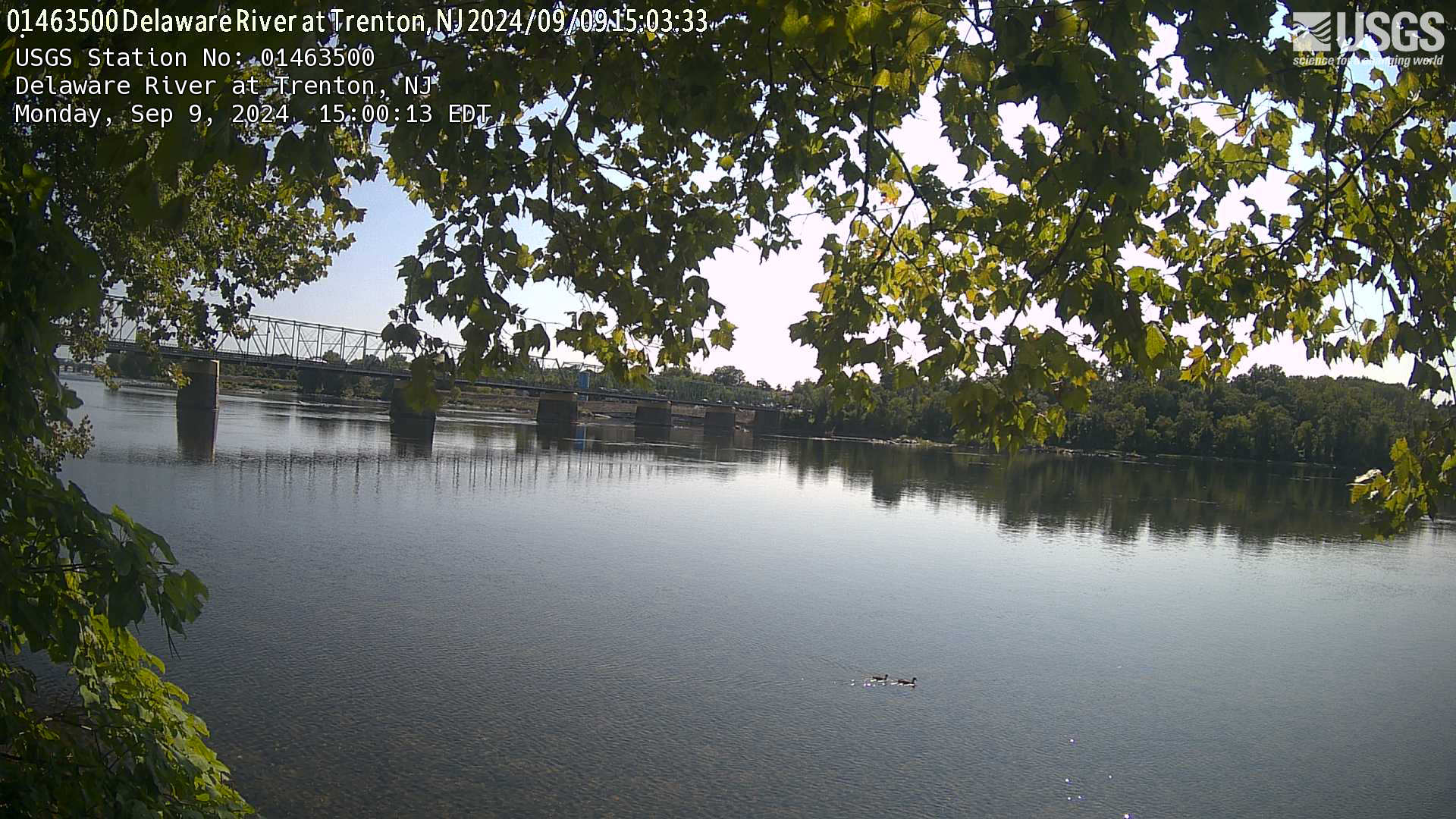
Streamgage 01463500 Delaware River at Trenton, NJ
Webcam at USGS Streamgage 01463500 Delaware River at Trenton NJ.
Visit the site page to access data for this site.
Webcam at USGS Streamgage 01463500 Delaware River at Trenton NJ.
Visit the site page to access data for this site.
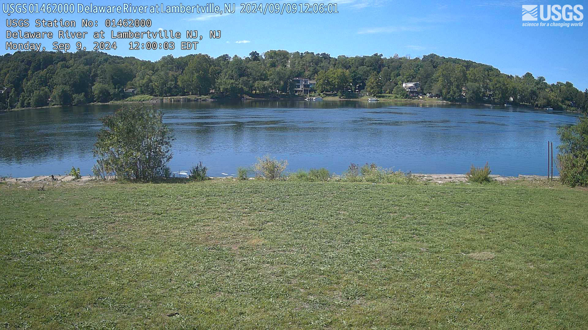
Streamgage 01462000 Delaware River at Lambertville, NJ
Streamgage 01462000 Delaware River at Lambertville, NJWebcam at USGS Streamgage 01462000 Delaware River at Lambertville, NJ.
Visit Water Data For the Nation to get current data for this site.
Streamgage 01462000 Delaware River at Lambertville, NJ
Streamgage 01462000 Delaware River at Lambertville, NJWebcam at USGS Streamgage 01462000 Delaware River at Lambertville, NJ.
Visit Water Data For the Nation to get current data for this site.
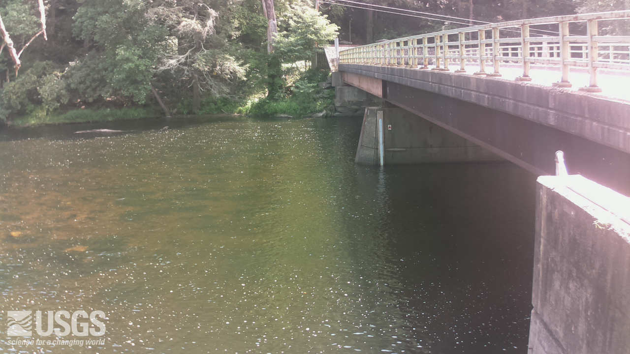
Streamgage 01437500 Neversink River at Godeffroy, NY
Streamgage 01437500 Neversink River at Godeffroy, NYWebcam at USGS Streamgage 01437500 Neversink River at Godeffroy, NY.
Visit Water Data For the Nation to get current data for this site.
Streamgage 01437500 Neversink River at Godeffroy, NY
Streamgage 01437500 Neversink River at Godeffroy, NYWebcam at USGS Streamgage 01437500 Neversink River at Godeffroy, NY.
Visit Water Data For the Nation to get current data for this site.
The Next Generation Water Observing System (NGWOS) supports water availability assessments, management, and prediction by enhancing water observations in basins that represent major U.S. hydrologic regions. The Delaware River Basin was the first Integrated Water Science basin selected, providing an opportunity to implement the NGWOS program in a nationally important, complex interstate river system.
Media
Sources/Usage: Public Domain. View Media Details
The U.S. Geological Survey is integrating its water science programs to better address the Nation’s greatest water-resource challenges. Plans and activities are underway to intensively study at least ten Integrated Water Science (IWS) basins - medium-sized watersheds (10,000-20,000 square miles) and underlying aquifers – throughout the United States to improve understanding of water availability in a wide range of environmental, hydrologic, and landscape settings. Each IWS basin will represent a larger region, and high-density monitoring and cutting-edge research will be used to better understand and model factors affecting water availability (quantity, quality, and use) in the basins, the larger regions, and the Nation.
As part of the IWS basin program, the Next Generation Water Observing System (NGWOS) provides quantitative information on streamflow, evapotranspiration, snowpack, soil moisture, a broad suite of water quality constituents (temperature, salinity, turbidity, nutrients and wastewater indicators), connections between groundwater and surface water, and water use. It will be directly coupled with the National Water Model and other advanced modeling tools to provide state-of-the-art flood and drought forecasts, drive emergency- and water-management decision support systems, and to address difficult water resource questions.
Media
Sources/Usage: Public Domain. View Media Details
Delaware River Basin
The Delaware River is rich in history, ecologically diverse, and critical to the regional economy. Water managers in this basin have a long history of applying innovative, regional solutions to ensure the long-term sustainability of this treasured resource which provides drinking water to over 15 million people. In addition, waters of the basin are used to support agriculture, manufacturing, recreation, and endangered species habitat. Implementing the NGWOS in the Delaware River Basin provides an opportunity to develop an integrated water observing system to support innovative modern water prediction and decision support systems in a nationally important, complex interstate river system.
The objective of the Delaware River Basin (DRB) NGWOS project is to enhance USGS monitoring of the water cycle in space and time to support assessments, management and, ultimately, prediction of water availability as determined by water quality, quantity, and use. The focus topic of the DRB water availability assessment is salinity, though the DRB NGWOS project more broadly aims to establish, operate, and maintain an enhanced observing system that serves as a testbed for well-integrated empirical data on the water budget and fundamental water-quality parameters. In addition, NGWOS is advancing the development and adoption of new sensor technologies and remote sensing methodologies that can be transitioned into operations within the region and nationally. In 2018, the USGS began implementing NGWOS in the DRB. By 2021, installation of monitoring infrastructure needed to test, validate, drive water forecasts, and inform water management decisions was completed and continues to be adapted for further refinement, innovation, and development of processes to improve operational efficiency.
Water Resources Challenges in the Delaware River Basin
The Delaware River Basin covers 13,500 square miles in parts of four States (New York, New Jersey, Pennsylvania, and Delaware). The population in the basin includes approximately 7.3 million people. Drinking water supply is a major use of the DRB’s waters, both within the basin and outside of the basin through diversions, supporting daily water needs for over 15 million people. Water diversions and releases from reservoirs in the upper basin are managed to balance water supply needs and meet downstream flow objectives. The timing and duration of reservoir releases have implications for both water quantity and quality, affecting downstream conditions like the potential for drought impacts, river temperature variations, and the location of the salt front, which is where freshwater from the Delaware River mixes with salty water from the Delaware Bay. Throughout the Basin, increasing trends in specific conductance, total dissolved solids, sodium, and chloride have been observed, approaching or exceeding health standards of water supplies in the Philadelphia area and threatening the ecological health of aquatic communities. Water temperature is another critical variable that affects fisheries and aquatic ecosystem health, with many factors, both natural and man-made, contributing to changes in stream temperature.
Water Science and Management in the Delaware River Basin (data visualization)
Water Science and Management in the Delaware River Basin (data visualization)
Temperature Monitoring, Modelling and Prediction (data visualization)
Temperature Monitoring, Modelling and Prediction (data visualization)
Salinity Studies in Freshwater Streams and at the Head of the Delaware Bay
In response to increasing trends in concentrations of sodium, chloride, and total dissolved solids in freshwater streams, NGWOS has initiated several studies to increase understanding of the problem. Scientists are developing a model specific to the Delaware River Basin to estimate chloride concentration based on the increased USGS network of stations monitoring specific conductance. Additional monitoring includes sampling a network of wells for chloride and related constituents to look for possible groundwater salinity trends resulting from road salt applications.
Media
Sources/Usage: Public Domain. View Media Details
At the mouth of the Delaware River, brackish water from the Delaware River can move upstream during periods of low flow, which is exacerbated during prolonged drought. NGWOS is sampling the river periodically along a longitudinal transect to determine how the position of the saltwater front moves in response to low flows. Data from the discrete water-quality samples collected by boat have been supplemented with water monitoring using Autonomous Underwater Vehicles (AUVs), such as the Ecomapper deployed in the estuary near Philadelphia, and robotic divers deployed in 2025 to document vertical salinity gradients. In addition, USGS researchers are analyzing chloride: bromide ratios in groundwater samples near the river to determine if salinity is resulting from intrusion of saltwater from the estuary or from other sources of salt originating on the land.
Drought conditions in the latter half of 2025 presented an opportunity to collect additional data related to the impact of low flows on salinity in the Delaware River. The NGWOS Program supported collection of additional water samples from the river to determine the position of the saltwater front as it migrated upriver in response to low flows. To collect data on the vertical salinity gradient, robotic diving AUVs equipped with temperature and specific conductance sensors were deployed at a number of locations in the Delaware. Saltwater intrusion into shallow groundwater under drought conditions was investigated via additional groundwater sampling, and continuous water-level monitors were installed in three wells in Delaware to help assess drought impacts on groundwater availability. The data from these opportunistic monitoring efforts will be made available to researchers to further understanding of drought impacts.
Studies Supporting a Regional Evaluation of Water Supply and Demand
Media
Sources/Usage: Public Domain. View Media Details
Several monitoring and science efforts are underway to support a regional water supply and demand study under the Integrated Water Science Program. The effort will evaluate factors affecting water availability in the region, inclusive of water quantity, quality, and use.
Baseflow in streams is intrinsically related to discharge from groundwater, which can vary greatly over space and time. A study is under way to estimate groundwater recharge at various scales by relating continuous monitoring data of soil moisture, groundwater elevation, and stream discharge. Another study aims to develop a web-based recession analysis tool to estimate changes in groundwater storage and the rate of groundwater discharge to streams in various settings. Datasets from paired air and water temperature sensors are being analyzed to describe the patterns of groundwater influence on streams across four intensively monitored sub-basins in the DRB. In conjunction with camera-based monitoring of hillslope springs, time-series data of air and water temperature will be used to assess baseflow resilience.
- PUBLICATION: James Buttle review: The characteristics of baseflow resilience across diverse ecohydrological terrains
- PUBLICATION: A multiscale approach for monitoring groundwater discharge to headwater streams by the U.S. Geological Survey Next Generation Water Observing System Program—An example from the Neversink Reservoir watershed, New York
Below are other scientific activities associated with the USGS Delaware River Basin Next Generation Water Observing System (NGWOS).
Next Generation Water Observing System (NGWOS)
The Next Generation Water Observing System (NGWOS) supports water availability assessments, management, and prediction by enhancing water observations in basins that represent major U.S. hydrologic regions. NGWOS provides high-resolution, real-time data on water quantity, quality, and use, as well as advance the development and application of new sensor technologies and remote sensing methods.
Integrated Water Availability Assessments Fundamentals
The USGS Water Resources Mission Area is assessing how much water is available for human and ecological needs in the United States and identifying where and when the Nation may have challenges meeting its demand for water.
Integrated Water Prediction (IWP)
The USGS Integrated Water Prediction science program is focused on developing and improving model code, workflows, and applications of core water availability components at a national extent.
Regional Water Availability Assessment: Delaware River Basin
Regional Water Availability Assessments are scientific assessments of water availability in different hydrologic regions across the Nation. In the Delaware River Basin, the USGS will conduct a focused assessment of increasing freshwater salinity and an integrated and comprehensive assessment of multiple water quantity, quality and use factors.
Integrated Water Science (IWS) Basins
The U.S. Geological Survey is integrating its water science programs to better address the Nation’s greatest water resource challenges. At the heart of this effort are plans to intensively study several Integrated Water Science (IWS) basins—medium-sized watersheds (10,000-20,000 square miles) and underlying aquifers—over the next decade. The IWS basins will represent a wide range of environmental...
Next Generation Water Observing System: Illinois River Basin
The Next Generation Water Observing System provides high-fidelity, real-time data on water quantity, quality, and use to support modern water prediction and decision-support systems that are necessary for informing water operations on a daily basis and decision-making during water emergencies. The Illinois River Basin provides an opportunity to implement the NGWOS in a system challenged by an...
Next Generation Water Observing System: Upper Colorado River Basin
The Next Generation Water Observing System (NGWOS) provides high-fidelity, real-time data on water quantity, quality, and use to support modern prediction and decision-support systems that are necessary for informing water operations on a daily basis and decision-making during water emergencies. The headwaters of the Colorado and Gunnison River Basins provide an opportunity to implement NGWOS in a...
Office of the Delaware River Master
In 1954, the U.S. Supreme Court issued a Decree in State of New Jersey v. State of New York and City of New York in which the Court established the position of the Delaware River Master.
Thermal Imaging Cameras for Studying Groundwater/Surface-Water Exchange
USGS scientists are using high-resolution handheld and airborne thermal imaging cameras in groundwater/surface-water exchange studies and other investigations where surface temperature contrasts indicate various hydrological processes. These cameras are used to quickly locate and characterize thermal (temperature) anomalies along streams, lakes, wetlands, estuaries, and across the landscape...
Below are multimedia items associated with the USGS Delaware River Basin Next Generation Water Observing System (NGWOS).
Using Drones To Study Rivers From Above
The Next Generation Water Observing Program (NGWOS) supports the advancement of water resources observations in order to assess water availability, management, and prediction across the US’s major hydrologic regions.
The Next Generation Water Observing Program (NGWOS) supports the advancement of water resources observations in order to assess water availability, management, and prediction across the US’s major hydrologic regions.
Hot Stream, Cold Stream – Measuring the impact of Groundwater on Stream Temperature
Hot Stream, Cold Stream – Measuring the impact of Groundwater on Stream TemperatureGroundwater that drains to surface water through seeps and springs is generally referred to as “discharge.” Groundwater discharge is a primary component of stream base flow, or streamflow that occurs between storms, periods of snowmelt runoff, and periods of quick soil drainage.
Field Trip with PAWSC staff to a Delaware River NGWOS station in Philadelphia, Pennsylvania
Field Trip with PAWSC staff to a Delaware River NGWOS station in Philadelphia, PennsylvaniaThe Delaware River is rich in history, ecologically diverse, and critical to the regional economy. Water managers in this basin have a long history of applying innovative, regional solutions to ensure the long-term sustainability of this treasured resource which provides drinking water to over 15 million people in the region.
Imagery as Streamflow Data: Introducing the USGS Flow Photo Explorer
Imagery as Streamflow Data: Introducing the USGS Flow Photo ExplorerFlow is a critical variable in streams since it affects aquatic and riparian biological communities and human uses of water (i.e., recreation, public water supply, etc.). Flow regimes are changing due to anthropogenic (e.g., water withdrawals) and natural impacts (e.g., extreme weather events).
USGS on the Road: "Searching for Striations in the DE Bay"
USGS on the Road: "Searching for Striations in the DE Bay"It’s quite the trek to get to Ship John Shoal lighthouse, which is several miles off the Delaware coast and only accessible by boat. There, USGS scientists clean and service equipment that plays an important role in our understanding of the salt front in the Delaware Bay.
NGWOS Takes Flight
The USGS conducted an aerial electromagnetic survey of the Delaware Bay to collect data on groundwater salinity. Rising sea level, increasing frequency and intensity of coastal storms, and increasing demand for groundwater have amplified the risk of saltwater impacting water supplies in the region.
The USGS conducted an aerial electromagnetic survey of the Delaware Bay to collect data on groundwater salinity. Rising sea level, increasing frequency and intensity of coastal storms, and increasing demand for groundwater have amplified the risk of saltwater impacting water supplies in the region.
Streamgage 01463500 Delaware River at Trenton, NJ
Webcam at USGS Streamgage 01463500 Delaware River at Trenton NJ.
Visit the site page to access data for this site.
Webcam at USGS Streamgage 01463500 Delaware River at Trenton NJ.
Visit the site page to access data for this site.
Streamgage 01462000 Delaware River at Lambertville, NJ
Streamgage 01462000 Delaware River at Lambertville, NJWebcam at USGS Streamgage 01462000 Delaware River at Lambertville, NJ.
Visit Water Data For the Nation to get current data for this site.
Streamgage 01462000 Delaware River at Lambertville, NJ
Streamgage 01462000 Delaware River at Lambertville, NJWebcam at USGS Streamgage 01462000 Delaware River at Lambertville, NJ.
Visit Water Data For the Nation to get current data for this site.
Streamgage 01437500 Neversink River at Godeffroy, NY
Streamgage 01437500 Neversink River at Godeffroy, NYWebcam at USGS Streamgage 01437500 Neversink River at Godeffroy, NY.
Visit Water Data For the Nation to get current data for this site.
Streamgage 01437500 Neversink River at Godeffroy, NY
Streamgage 01437500 Neversink River at Godeffroy, NYWebcam at USGS Streamgage 01437500 Neversink River at Godeffroy, NY.
Visit Water Data For the Nation to get current data for this site.