Streamgage 01437500 Neversink River at Godeffroy, NY
Streamgage 01437500 Neversink River at Godeffroy, NYWebcam at USGS Streamgage 01437500 Neversink River at Godeffroy, NY.
Visit Water Data For the Nation to get current data for this site.

Official websites use .gov
A .gov website belongs to an official government organization in the United States.
Secure .gov websites use HTTPS
A lock () or https:// means you’ve safely connected to the .gov website. Share sensitive information only on official, secure websites.
The Next Generation Water Observing System (NGWOS) supports water availability assessments, management, and prediction by enhancing water observations in basins that represent major U.S. hydrologic regions. NGWOS provides high-resolution, real-time data on water quantity, quality, and use, as well as advance the development and application of new sensor technologies and remote sensing methods.

Every day, data from the U.S. Geological Survey (USGS) water observing systems drive forecasts of floods and droughts, guide management of reservoirs for water supply and power generation, and inform water management decisions that underpin the prosperity of the Nation. These data have formed the backbone of national observations on current conditions and trends in water quantity and quality for more than a century.
Recognizing that more water observations can support a more resilient water future, Congress provided funding to USGS in Fiscal Year (FY) 2019 to begin piloting a Next Generation Water Observing System (NGWOS). The NGWOS is planned to be piloted in up to 10 medium-sized (~15,000–25,000 square mile) reference basins, each representative of a larger region with similar hydrologic characteristics. The NGWOS is enhancing and expanding USGS observations within these basins using new monitoring stations, new sensors, and other technologies that fill critical information gaps.
To date, NGWOS has begun in five basins, each with a particular regional focus:

Research and Development (R&D) efforts are critical to the evolution of USGS water monitoring networks. The NGWOS serves as the primary program where new and innovative techniques, methods and instrumentation for water monitoring are developed and matured. This includes 1) the development of prototypes and products that are sufficiently matured such that they can be transitioned to our national network operations to improve efficiency, accuracy and temporal- scales of data collection, and 2) derive operational techniques and methodologies for the next generation of environmental monitoring sensors, systems and monitoring location infrastructure.
Many of the technologies and methods NGWOS is developing is in partnership with universities and industry as directed by Congress. Focus areas have included satellite remote sensing observations for water quantity and quality; non-contact methods for measuring water stage and velocity; and the development of low cost, autonomous vehicles for water monitoring. These strategic investments with U.S. partners are advancing our cutting-edge water monitoring networks and driving technological innovations.

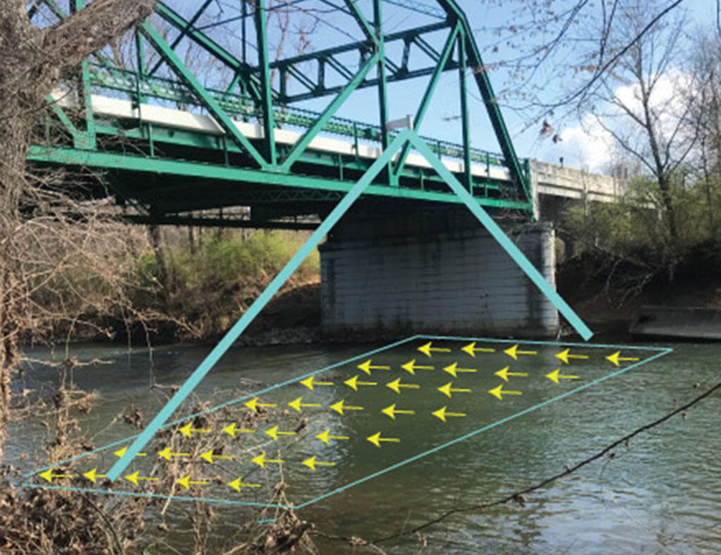
The NGWOS is modernizing the National Water Information System (NWIS) cyberinfrastructure to accommodate new data and sensor networks, displaying observational uncertainty, and improving the efficiency of data transmission and network operations. NGWOS is also building new ways to access information such as the Hydrologic Imagery Visualization and Information System (HIVIS), which provides real-time camera imagery from over 800 USGS streamgages nationwide. Ongoing NGWOS investments will drive further modernization of the cyberinfrastructure and web-based data analysis and visualization tools to maximize access and societal benefits.
Below are other science projects associated with NGWOS.


Below are multimedia items associated with NGWOS.

Conceptual illustration showing how USGS's Next Generation Water Observing System will enhance the spatial and temporal monitoring of water within reference basins and larger hydrologic regions in all U.S. states and territories.
Webcam at USGS Streamgage 01437500 Neversink River at Godeffroy, NY.
Visit Water Data For the Nation to get current data for this site.
Webcam at USGS Streamgage 01437500 Neversink River at Godeffroy, NY.
Visit Water Data For the Nation to get current data for this site.

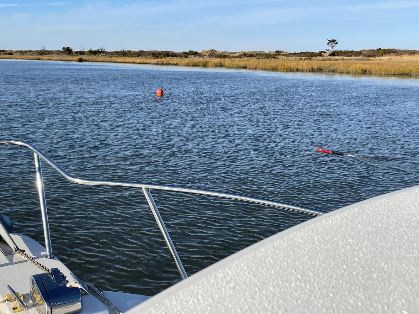
Webcam at USGS Streamgage 09071750 Colorado River above Glenwood Springs, CO.
Visit Water Data For the Nation to get current data for this site.
Webcam at USGS Streamgage 09071750 Colorado River above Glenwood Springs, CO.
Visit Water Data For the Nation to get current data for this site.

Webcam at USGS Streamgage 09095500 Colorado River near Cameo, CO.
Visit Water Data For the Nation to get current data for this site.
Webcam at USGS Streamgage 09095500 Colorado River near Cameo, CO.
Visit Water Data For the Nation to get current data for this site.
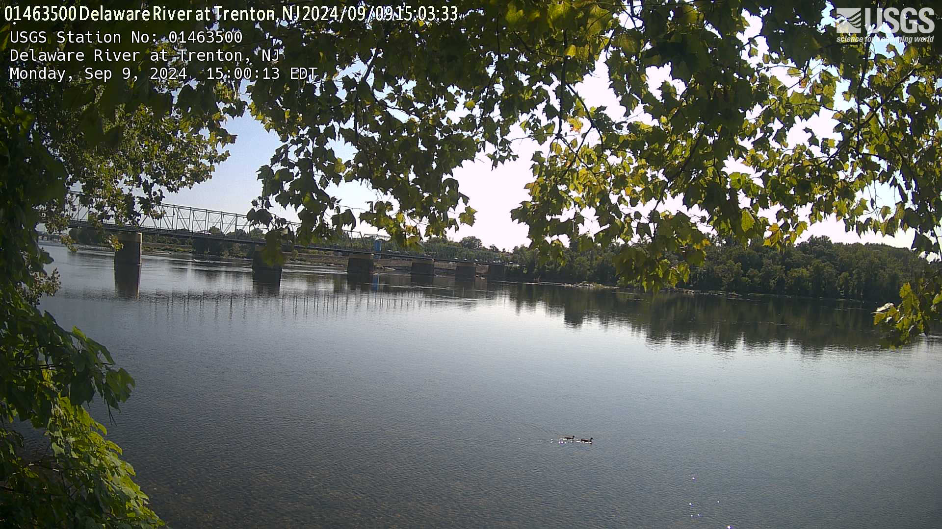
Webcam at USGS Streamgage 01463500 Delaware River at Trenton NJ.
Visit the site page to access data for this site.
Webcam at USGS Streamgage 01463500 Delaware River at Trenton NJ.
Visit the site page to access data for this site.
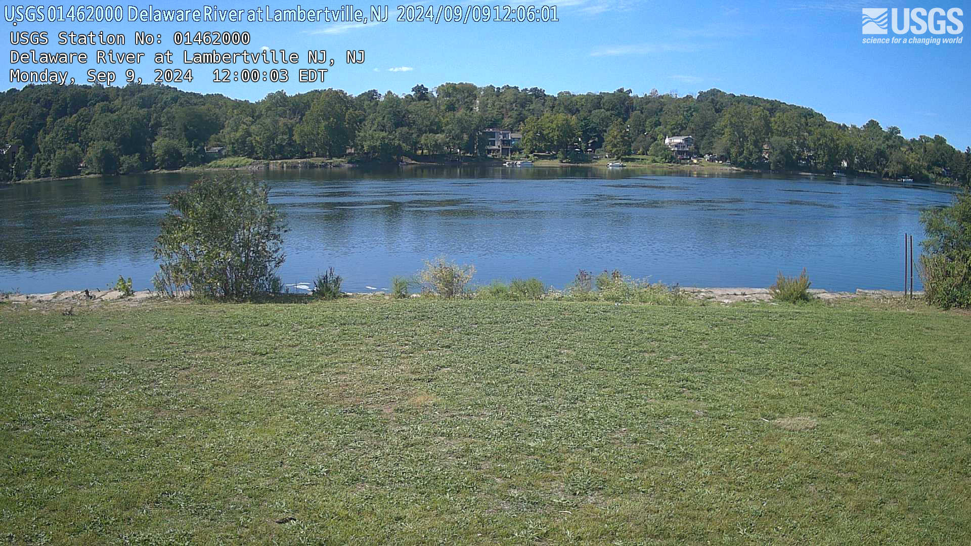
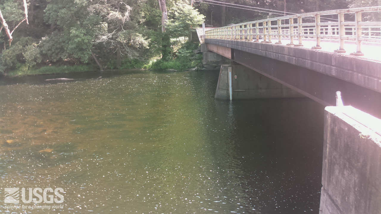
Webcam at USGS Streamgage 01462000 Delaware River at Lambertville, NJ.
Visit Water Data For the Nation to get current data for this site.
Webcam at USGS Streamgage 01462000 Delaware River at Lambertville, NJ.
Visit Water Data For the Nation to get current data for this site.
Briefing sheet for the Next Generation Water Observing System—Illinois River Basin pilot.
Briefing sheet for the Next Generation Water Observing System—Illinois River Basin pilot.

This animation shows the changing conditions of USGS streamgages from October 1, 2019 to September 30, 2020. The conditions shown range from the driest condition seen at a gage (red open circles) to the wettest (blue closed circles). There is also a purple ring added to indicate gages that are flooding.
This animation shows the changing conditions of USGS streamgages from October 1, 2019 to September 30, 2020. The conditions shown range from the driest condition seen at a gage (red open circles) to the wettest (blue closed circles). There is also a purple ring added to indicate gages that are flooding.
Next Generation Water Observing System Upper Colorado & Gunnison River Basin briefing sheet.
Next Generation Water Observing System Upper Colorado & Gunnison River Basin briefing sheet.

This is an animation showing the changing conditions of USGS streamgages for Water Year 2018 (October 1, 2017 to September 30, 2018). The conditions shown range from the driest condition seen at a gage to the wettest.
This is an animation showing the changing conditions of USGS streamgages for Water Year 2018 (October 1, 2017 to September 30, 2018). The conditions shown range from the driest condition seen at a gage to the wettest.
Briefing sheet for the Next Generation Water Observing System—Delaware River Basin pilot.
Briefing sheet for the Next Generation Water Observing System—Delaware River Basin pilot.
The Next Generation Water Observing System (NGWOS) supports water availability assessments, management, and prediction by enhancing water observations in basins that represent major U.S. hydrologic regions. NGWOS provides high-resolution, real-time data on water quantity, quality, and use, as well as advance the development and application of new sensor technologies and remote sensing methods.
Every day, data from the U.S. Geological Survey (USGS) water observing systems drive forecasts of floods and droughts, guide management of reservoirs for water supply and power generation, and inform water management decisions that underpin the prosperity of the Nation. These data have formed the backbone of national observations on current conditions and trends in water quantity and quality for more than a century.
Recognizing that more water observations can support a more resilient water future, Congress provided funding to USGS in Fiscal Year (FY) 2019 to begin piloting a Next Generation Water Observing System (NGWOS). The NGWOS is planned to be piloted in up to 10 medium-sized (~15,000–25,000 square mile) reference basins, each representative of a larger region with similar hydrologic characteristics. The NGWOS is enhancing and expanding USGS observations within these basins using new monitoring stations, new sensors, and other technologies that fill critical information gaps.
To date, NGWOS has begun in five basins, each with a particular regional focus:
Research and Development (R&D) efforts are critical to the evolution of USGS water monitoring networks. The NGWOS serves as the primary program where new and innovative techniques, methods and instrumentation for water monitoring are developed and matured. This includes 1) the development of prototypes and products that are sufficiently matured such that they can be transitioned to our national network operations to improve efficiency, accuracy and temporal- scales of data collection, and 2) derive operational techniques and methodologies for the next generation of environmental monitoring sensors, systems and monitoring location infrastructure.
Many of the technologies and methods NGWOS is developing is in partnership with universities and industry as directed by Congress. Focus areas have included satellite remote sensing observations for water quantity and quality; non-contact methods for measuring water stage and velocity; and the development of low cost, autonomous vehicles for water monitoring. These strategic investments with U.S. partners are advancing our cutting-edge water monitoring networks and driving technological innovations.
The NGWOS is modernizing the National Water Information System (NWIS) cyberinfrastructure to accommodate new data and sensor networks, displaying observational uncertainty, and improving the efficiency of data transmission and network operations. NGWOS is also building new ways to access information such as the Hydrologic Imagery Visualization and Information System (HIVIS), which provides real-time camera imagery from over 800 USGS streamgages nationwide. Ongoing NGWOS investments will drive further modernization of the cyberinfrastructure and web-based data analysis and visualization tools to maximize access and societal benefits.
Below are other science projects associated with NGWOS.
Below are multimedia items associated with NGWOS.
Conceptual illustration showing how USGS's Next Generation Water Observing System will enhance the spatial and temporal monitoring of water within reference basins and larger hydrologic regions in all U.S. states and territories.
Webcam at USGS Streamgage 01437500 Neversink River at Godeffroy, NY.
Visit Water Data For the Nation to get current data for this site.
Webcam at USGS Streamgage 01437500 Neversink River at Godeffroy, NY.
Visit Water Data For the Nation to get current data for this site.
Webcam at USGS Streamgage 09071750 Colorado River above Glenwood Springs, CO.
Visit Water Data For the Nation to get current data for this site.
Webcam at USGS Streamgage 09071750 Colorado River above Glenwood Springs, CO.
Visit Water Data For the Nation to get current data for this site.
Webcam at USGS Streamgage 09095500 Colorado River near Cameo, CO.
Visit Water Data For the Nation to get current data for this site.
Webcam at USGS Streamgage 09095500 Colorado River near Cameo, CO.
Visit Water Data For the Nation to get current data for this site.
Webcam at USGS Streamgage 01463500 Delaware River at Trenton NJ.
Visit the site page to access data for this site.
Webcam at USGS Streamgage 01463500 Delaware River at Trenton NJ.
Visit the site page to access data for this site.
Webcam at USGS Streamgage 01462000 Delaware River at Lambertville, NJ.
Visit Water Data For the Nation to get current data for this site.
Webcam at USGS Streamgage 01462000 Delaware River at Lambertville, NJ.
Visit Water Data For the Nation to get current data for this site.
Briefing sheet for the Next Generation Water Observing System—Illinois River Basin pilot.
Briefing sheet for the Next Generation Water Observing System—Illinois River Basin pilot.
This animation shows the changing conditions of USGS streamgages from October 1, 2019 to September 30, 2020. The conditions shown range from the driest condition seen at a gage (red open circles) to the wettest (blue closed circles). There is also a purple ring added to indicate gages that are flooding.
This animation shows the changing conditions of USGS streamgages from October 1, 2019 to September 30, 2020. The conditions shown range from the driest condition seen at a gage (red open circles) to the wettest (blue closed circles). There is also a purple ring added to indicate gages that are flooding.
Next Generation Water Observing System Upper Colorado & Gunnison River Basin briefing sheet.
Next Generation Water Observing System Upper Colorado & Gunnison River Basin briefing sheet.
This is an animation showing the changing conditions of USGS streamgages for Water Year 2018 (October 1, 2017 to September 30, 2018). The conditions shown range from the driest condition seen at a gage to the wettest.
This is an animation showing the changing conditions of USGS streamgages for Water Year 2018 (October 1, 2017 to September 30, 2018). The conditions shown range from the driest condition seen at a gage to the wettest.
Briefing sheet for the Next Generation Water Observing System—Delaware River Basin pilot.
Briefing sheet for the Next Generation Water Observing System—Delaware River Basin pilot.