


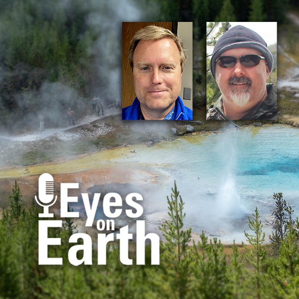
Eyes on Earth Episode 137 – Landsat Takes Yellowstone’s Temperature
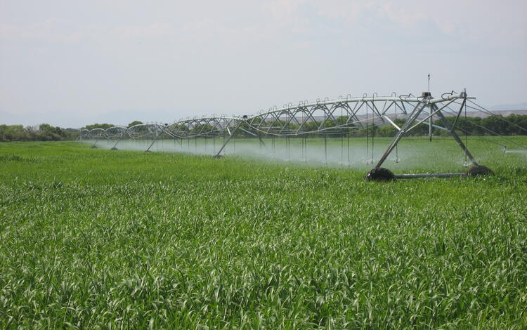
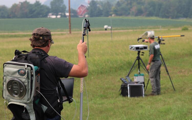
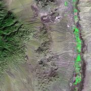
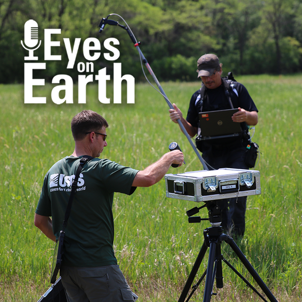
Eyes on Earth Episode 137 – Landsat Takes Yellowstone’s TemperatureThe Yellowstone National Park area has more than 10,000 thermal features. And while Old Faithful is a pretty predictable geyser, some thermal features can change quite a bit. New ones can even pop up! Remote sensing provides a tool for monitoring them—especially the thermal infrared sensors (TIRS) on Landsat 8 and Landsat 9 satellites.

")
")
")


")


")
")
