Groundwater that drains to surface water through seeps and springs is generally referred to as “discharge.” Groundwater discharge is a primary component of stream base flow, or streamflow that occurs between storms, periods of snowmelt runoff, and periods of quick soil drainage.
Next Generation Water Observing System: Delaware River Basin
How We Model Stream Temperature in the Delaware River Basin
New data visualization explores neural networks, and how the USGS uses them to make physically-realistic predictions with less data
Balancing water availability and quality in the Delaware River Basin
How new USGS science and monitoring can inform water management
Delaware River webcam
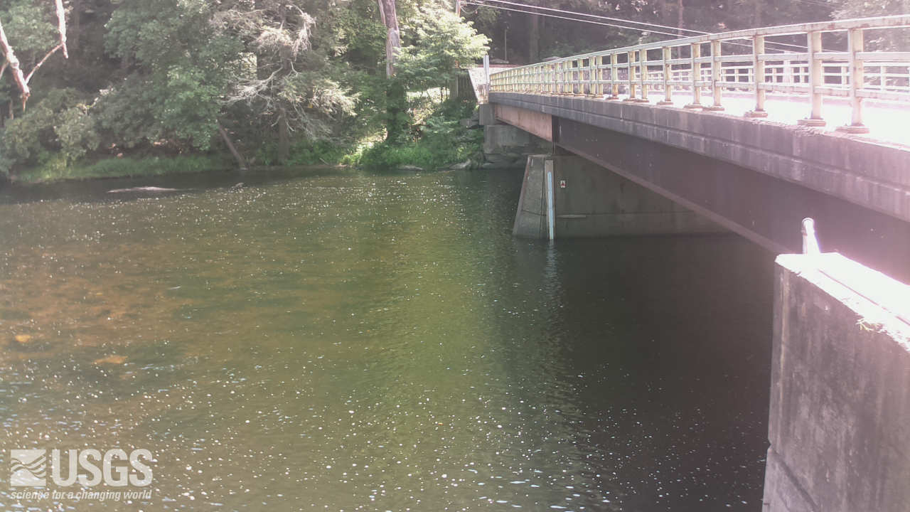
Webcam at USGS streamgage 01426500 West Branch Delaware River at Hale Eddy, NY
The USGS Next Generation Water Observing System (NGWOS) provides high-fidelity, real-time data on water quantity and quality necessary to support modern water prediction and decision support systems for water emergencies and daily water operations. The Delaware River Basin was the first NGWOS basin, providing an opportunity to implement the program in a nationally important, complex interstate river system.
The USGS Next Generation Water Observing System (NGWOS) will provide quantitative information on streamflow, evapotranspiration, snowpack, soil moisture, a broad suite of water quality constituents (nutrients, salinity, turbidity, and wastewater indicators), connections between groundwater and surface water, and water use. It will be directly coupled with the National Water Model and other advanced modeling tools to provide state-of-the-art flood and drought forecasts, drive emergency- and water-management decision support systems, and to address difficult water resource questions (See FAQs below).
Delaware River Basin
The Delaware River is rich in history, ecologically diverse, and critical to the regional economy. Water managers in this basin have a long history of applying innovative, regional solutions to ensure the long-term sustainability of this treasured resource which provides drinking water to over 15 million people in the region. Implementing the NGWOS in the Delaware River Basin provides an opportunity to develop an integrated water observing system to support innovative modern water prediction and decision support systems in a nationally important, complex interstate river system.
In 2018, the USGS began implementing NGWOS in the Delaware River Basin. By 2021, nearly all of the monitoring infrastructure needed to test, validate, drive water forecasts, and inform water management decisions had been installed. Some recent highlights organized by fiscal year (Oct 1 – Sep 31) are shown below.
Fiscal Year ’21 Highlights (Oct. 2020 – Sept. 2021)
Ecomapper Autonomous Underwater Vehicle Maps Delaware River Salt Front
In the summer of 2021, the Ecomapper provided a 3D representation of the salt front in the Delaware River Estuary near Philadelphia. Accurate mapping of the salt front is important for informing model simulations of processes that affect the movement of saline water in the Delaware River Estuary and is a concern for water supply managers in the basin.
Floating Sensor Measurements on the Upper Delaware River Inform Understanding of Groundwater – Surface Water Interactions
In the summer of 2021, gradient self-potential, water temperature, specific conductance, and nitrate concentrations were measured along a 123 km reach in the upper Delaware River between Hancock and Port Jervis, New York. These measurements provide information on spatial patterns of aspects of water quality and physical properties along a river reach that is influenced by reservoir releases. The gradient self-potential measurements inform understanding of the interactions of groundwater and surface water in the upper Delaware watershed. Data collected during this campaign are available at: https://doi.org/10.5066/P9H652Z8.
Synoptic Water Temperature Measurements Track the Effects of Reservoir Releases on the Upper Delaware River
Forty temperature loggers were deployed in summer 2021 to collect detailed spatial and temporal data on water temperature in the upper Delaware River watershed. These data provide important information on the effects of reservoir releases on thermal habitat for aquatic biota in the upper watershed. Additional synoptic water temperature measurement campaigns are underway in tributaries of the Delaware River in New York, New Jersey, and Pennsylvania. Water temperature data from this synoptic campaign are available at: https://doi.org/10.5066/P9QGMZQ2
Fiscal Year ‘20 Highlights (Oct. 2019 - Sept. 2020)
Ecomapper Autonomous Underwater Vehicle surveys completed in Delaware River Basin
Teams from the USGS Pennsylvania Water Science Center, South Atlantic Water Science Center, and Central Midwest Water Science Center operated two Ecomapper autonomous underwater vehicles (AUVs) to collect water-quality and bathymetry data in the lower Delaware River during the week of Dec. 2nd. Their primary focus was to generate a detailed map of the salinity front and characterize stream mixing in the Delaware Estuary. The missions were successful and this valuable information will be utilized by the USGS and our stakeholders to enhance our understanding of water-quality dynamics in the Delaware Estuary. Data collected during this deployment are available at: https://doi.org/10.5066/P9AZH1PE.
“We are very supportive of the Ecomapper deployment in the Delaware River and Bay. The integrated, high-resolution information it gathers will allow us to expand our understanding of the physical and chemical processes that affect current velocity, salinity, water temperature and water quality. The information will be used to refine our 3-dimensional hydrodynamic model to study the impacts of flow management and sea level rise on salinity intrusion and a companion water quality model to assess options to improve water quality and habitat in the estuary.” - Dr. Namsoo Suk, Director of Science and Water Quality Management, Delaware River Basin Commission
Advancing the Use of Cameras in Water Monitoring Programs
A team of USGS employees from around the country met in November 2019 in Madison, Wisc., to advance the use of cameras and imagery in water-monitoring programs. Cameras can be used as non-contact sensors to monitor a variety of water characteristics including streamflow, water level, ice cover, suspended-sediment concentration, turbidity, harmful algal blooms, channel erosion, and general conditions at streamgages. The team will be testing cloud hosting services to process and store imagery and to integrate imagery with streamgage data displayed through NWISWeb. New cameras will be installed this winter at the Delaware River at Montague, New Jersey; Delaware River at the Seaport Museum in Philadelphia, Penn.; and East Branch Brandywine Creek below Downingtown, Penn.
FISCAL YEAR 20 ACTIVITIES
- Increased use of sensors and remote sensing for water quality in streams and groundwater and water use monitoring
- Continue “Wiring the Network", including Long Range (LoRa) and other technologies, and investing in NextGen technologies
- Expansion of groundwater/surface-water interactions to estimate baseflows
- Explore potential applications for environmental DNA (eDNA) sensors
- Remote sensing of discharge / unmanned aircraft systems (UAS) studies
- Camera deployments
- Testing of non-contact sensors
Fiscal Year ‘19 Highlights (Oct. 2018 - Sept. 2019)
Integration of Drones to Monitor Water Quantity
A variety of drone equipment was tested at the NGWOS innovation site at Independence Seaport Museum in Philadelphia, Penn., which will showcase multiple technologies for streamflow and water quality monitoring. The purpose of the testing was to compare new streamflow monitoring technologies attached to drones with existing technologies. The infrastructure at this innovation site will also support collaboration with our partners to install and test non-USGS equipment.
Tracking GW Discharge to Streams
NGWOS is using state-of-the-art thermal infrared imaging to locate areas where groundwater is discharging to streams in the upper Delaware River. This will allow us to better understand how groundwater influences river chemistry and temperature, which are important to species in the Upper Delaware River Basin such as trout and endangered dwarf wedge mussels.
Fiscal Year ‘19 Activities (Oct. 2018 - Sept. 2019)
Innovation and Operational Test Beds
- 2 sites established (mainstem and tributary)
- Evapotranspiration, soil moisture, snowpack, sediment, and groundwater/surface-water interactions being stood up in Neversink River test bed
- Water-quality test bed at Philadelphia established
- 2 camera innovation operational sites identified
- 3 radar velocity operational test sites identified
Intensive Monitoring in Representative Sub-Basins and Mainstem
- 20 new sub-basin streamgages with temperature and salinity added
- 20 existing sub-basin streamgages with temperature and salinity added
- 1 new streamgage on the Chesapeake and Delaware Canal
- 2 coastal sites with year-round temperature and salinity added
Basin-wide Monitoring Gaps
- 5 new meteorological stations added
- 3 sites with enhanced reservoir monitoring (depth profile)
- 12 stream gages with salinity added for baseflow estimation
- 8 new stream gages with temperature at basin-wide gaps
Remote Sensing Data from Drones
-
3 sites with UAS (unmanned aircraft systems) data collection on the mainstem
Fiscal Year ‘18 Activities and Highlights: (Oct. 2017 - Sept. 2018)
New Streamgages to Fill Critical Gaps
About 17 new streamgages were added in the Delaware River Basin in 2018 to address key monitoring gaps to improve the quantification of the amount of water in headwater and tributary streams and tracking of the salt front in the mainstem. These new streamgages included NextGen communication platforms and real-time water-temperature monitoring. Webcams are located at selected sites. For a list of stream gages in the basin see the results tab at the top of the page.
Enhancements to the Water Monitoring Network
Modernization of monitoring infrastructure at 28 existing sites included enhanced two-way communication to enable remote operation and troubleshooting of monitoring equipment, and cellular and satellite redundancy to improve situational awareness by ensuring data are delivered during critical streamflow periods. Webcams and plug-in water-quality sensor capabilities at selected sites provide additional information during floods and droughts or events related to water-quality issues.
Monitoring to Support Fisheries and Water Prediction
Real-time temperature and specific-conductance monitoring provide timely information needed by multiple stakeholders to better track the salinity front on the mainstem and water conditions for recreational activities and fisheries management. Water temperature is a master variable influencing water chemistry, aquatic metabolism, and the overall health of fisheries. Specific conductance information can be used to improve watershed models and predictions and understanding of surface water and groundwater connections. Real-time water temperature was added at about 36 sites and specific conductance at about 10 sites.
Frequently Asked Questions about NGWOS
What are the characteristics of the Next Generation Water Observing System?
- State-of-the-art measurements
- Dense array of sensors at selected sites
- Increased spatial and temporal coverage
- New technology testing and implementation
- Improved operational efficiency
- Modernized and timely data storage and delivery
What will NGWOS provide when fully implemented?
When fully implemented, the USGS Next Generation Water Observing System (NGWOS) will provide quantitative information on streamflow, evapotranspiration, snowpack, soil moisture, a broad suite of water quality constituents (nutrients, salinity, turbidity, and wastewater indicators), connections between groundwater and surface water, and water use. It will be directly coupled with the National Water Model and other advanced modeling tools to provide state-of-the-art flood and drought forecasts, drive emergency- and water-management decision support systems, and to address difficult questions such as:
- What are the near-term and long-term risks of floods and droughts, and what scenarios change these risks?
- Are we in the early stages of a drought? How long will drought recovery take?
- How much water is stored in seasonal snow packs, and how will changes affect water supplies?
- How much water is lost to evapotranspiration?
- What is the quality of water and how will it change during wet/dry periods?
- How much does groundwater contribute to streamflow, or vice-versa?
Why was the Delaware River Basin chosen as the pilot for NGWOS?
The Delaware River is rich in history, ecologically diverse, and critical to the regional economy. Water managers in this region have a long history applying innovative, regional solutions to insure the long-term sustainability of this treasured resource which provides drinking water to over 15 million people in the region. Piloting the NGWOS in the Delaware River Basin provides an opportunity to develop an integrated water observing system to support innovative modern water prediction and decision support systems in a nationally important, complex interstate river system.
When was the Delaware River Basin pilot started?
In 2018, the USGS started the pilot of the NGWOS in the Delaware River Basin. The 2018 startup represents about 15 percent of the monitoring infrastructure needed to fully implement the NextGen observing system that can be used to test, validate, and drive water forecasts and inform water management decisions.
-
The 2018 activities focused on the addition of new streamgages to address critical data gaps, water monitoring network modernization, increased temperature and specific conductance monitoring, and initial steps to modernize USGS data management and delivery.
Where can I get more information?
For more specific information on these activities, please refer to the contacts shown at right. Download the full briefing sheet:
Next Generation Observing System - Delaware River Basin (briefing)
NGWOS Delaware River Basin Streamgages
New streamgages
- 01365100 Cannonsville Res Diversion Channel nr Grahamsville NY
- 01365505 Neversink Res Diversion Channel at Grahamsville NY
- 01365550 Chestnut Ck at Mouth at Grahamsville NY
- 01412000 Menantico Ck nr Millville NJ
- 01412080 Manumuskin R at Cumberland NJ
- 01419500 Willowemoc Ck nr Livingston Manor NY
- 01417500 East Branch Delaware R at Harvard NY
- 01423910 Cannonsville Res nr Kelsey NY
- 01427000 West Branch Delaware R at Hancock NY
- 01427195 Equinunk Ck nr Dillontown PA
- 01427500 Callicoon Ck at Callicoon NY
- 01428000 Tenmile R at Tusten, NY
- 01432055 Lackawaxen R nr Baoba, PA
- 01432495 Shohola Ck nr Walter Lake, PA
- 0143400680 East Branch Neversink R northeast of Denning NY
- 01434021 West Branch Neversink R at Winnisook Lake nr Frost Valley NY
- 01436655 Sheldrake Str at Thompsonville NY
- 01437100 Gumaer Bk nr Wurtsboro NY
- 01437349 Basher Kill abv Pine Kill at Westbrookville NY
- 01451380 Little Lehigh Ck nr Trexlertown PA
- 01451400 Spring Ck at Trexlertown PA
- 01451467 Leibert Ck at Emmaus PA
- 01451630 Cedar Ck at mouth nr Allentown PA
- 01455290 Pohatcong Ck at Creek Rd nr Carpentersville NJ
- 01460860 Lockatong Ck at Route 12 at Baptistown NJ
- 01464040 Delaware R at Marine Terminal at Trenton NJ
- 01464290 Crosswicks Ck at Hockamik Rd nr Cookstown NJ
- 0146587310 Haynes Ck at Tuckerton Rd at Lake Pine NJ
- 01467024 Rancocas Ck at Bridgeboro NJ
- 01467194 Cooper R at East State St at Camden, NJ
- 01467200 Delaware R at Penn’s Landing, Philadelphia PA
- 01471875 Manatawny Ck nr Spangsville PA
- 01473470 Stony Ck at Sterigere St at Norristown, PA
- 01475510 Darby Ck nr Darby PA
- 01477070 Raccoon Ck at Wrights Mill NJ
- 01478100 East Branch White Clay Ck Trib nr London Grove PA
- 01478137 Trout Run at Avondale PA
- 01478185 Middle Branch White Clay Ck nr West Grove PA
- 01478220 West Branch White Clay Ck nr Chesterville PA
- 01478950 Pike Ck nr Newark DE
- 01480120 Christina R at Wilmington DE
- 01480629 Buck Run at Doe Run PA
- 01482100 Delaware R at Delaware Memorial Bridge at Wilmington DE
- 01482695 C and D Canal nr Delaware City DE
- 01483050 Alloway Ck at Hancocks Bridge NJ
- 403447075331801 LE SP15 Schantz Spring nr Wescosville PA
Enhanced streamgages and other sites
- 01365080 Pepacton Res Diversion Outlet nr Grahamsville NY (LSPIV)
- 01414750 Pepacton Res nr Lewbeach NY (temp)
- 01415460 Terry Clove Kill nr De Lancey NY (temp)
- 01425805 Oquaga Ck at McClure NY (temp)
- 01432160 Delaware R at Barryville NY (temperature, sp cond)
- 01434000 Delaware R at Port Jervis NY (temp, sp cond, radar)
- 01467059 Delaware R at Riverton NJ (weather)
- 01412130 Maurice R at Mauricetown NJ (temp, sp cond)
- 01412150 Maurice R at Bivalve NJ (temp, sp cond)
- 01412350 Delaware B at Ship John Shoal Lighthouse NJ (temp, sp cond, DO)
- 01413038 Cohansey R at Greenwich NJ (temp, sp cond)
- 01413500 East Branch Delaware R at Margaretville NY (temp, sp cond)
- 01414000 Platte Kill at Dunraven, NY (weather)
- 01414500 Mill Bk nr Dunraven NY (temp, sp cond)
- 01415000 Tremper Kill nr Andes NY (temp, sp cond)
- 01417000 East Branch Delaware R at Downsville NY (temp)
- 01420500 Beaver Kill at Cooks Falls NY (temp)
- 01421000 East Branch Delaware R at Fishs Eddy, NY (real-time)
- 01423000 West Branch Delaware R at Walton NY (temp, sp cond)
- 01425000 West Branch Delaware R at Stilesville NY (real-time)
- 01426500 West Branch Delaware R at Hale Eddy NY
- 01427207 Delaware R at Lordville, NY (temp, sp cond)
- 01427510 Delaware R at Callicoon NY (multiple sensors)
- 01428500 Delaware R abv Lackawaxen R nr Barryville NY (real-time)
- 01431500 Lackawaxen R at Hawley PA (real-time)
- 01433500 Mongaup R nr Mongaup, NY (real-time)
- 01434000 Delaware R at Port Jervis, NY (sp cond, camera)
- 01434017 East Branch Neversink R nr Claryville NY (temp, sp cond)
- 01434025 Biscuit Bk abv Pigeon Br at Frost Valley NY (temp, sp cond)
- 01434498 West Branch Neversink R at Claryville NY (temp, sp cond)
- 01435000 Neversink R nr Claryville NY (temp, sp cond)
- 01435900 Neversink Res nr Neversink NY (temp, radar)
- 01436000 Neversink R at Neversink NY (temp, sp cond)
- 01436690 Neversink R at Bridgeville NY (temp, sp cond)
- 01437500 Neversink R at Godeffroy NY (temp, sp cond, camera)
- 01438500 Delaware R at Montague NJ (temp, sp cond)
- 01439500 Bush Kill at Shoemakers PA (temp, sp cond)
- 01440000 Flat Bk nr Flatbrookeville NJ (temp, sp cond)
- 01440400 Brodhead Ck nr Analomink, PA (temp, sp cond)
- 01446500 Delaware R at Belvidere NJ (temp, sp cond, camera)
- 01451500 Little Lehigh Ck nr Allentown PA (temp, sp cond)
- 01451650 Little Lehigh Ck at 10th St Brdg at Allentown PA (temp, sp cond)
- 01451800 Jordan Ck nr Schnecksville PA (temp, sp cond)
- 01457500 Delaware R at Riegelsville NJ (temp)
- 01458500 Delaware R at Frenchtown NJ (real-time)
- 01462000 Delaware R at Lambertville NJ (temp)
- 01463500 Delaware R at Trenton NJ (camera)
- 01464500 Crosswicks Ck at Extonville NJ (temp, sp cond)
- 01465500 Neshaminy Ck nr Langhorne PA (temp, sp cond, camera)
- 01465850 S Br Rancocas Ck at Vincentown NJ (temp, sp cond)
- 01465880 SW Br Rancocas Ck at Medford NJ (temp, sp cond)
- 01466500 McDonalds Br in Byrne State Forest NJ (temp, sp cond)
- 01466900 Greenwood Br at New Lisbon NJ (temp, sp cond)
- 01467000 N Br Rancocas Ck at Pemberton NJ (temp, sp cond)
- 01467005 N Br Rancocas Ck at Iron Works Pk at Mt Holly NJ (temp, sp cond)
- 01467081 S Br Pennsauken Ck at Cherry Hill NJ (temp, sp cond)
- 01467087 Frankford Ck at Castor Ave, Philadelphia PA (temp)
- 01467150 Cooper R at Haddonfield NJ (temp, sp cond)
- 01473000 Perkiomen Ck at Graterford PA (temp, sp cond)
- 01474500 Schuylkill R at Philadelphia PA (temp, sp cond)
- 01474703 Delaware R at Fort Mifflin PA (temp, sp cond)
- 01477050 Delaware R at Chester PA (temp, sp cond)
- 01477120 Raccoon Ck nr Swedesboro NJ (temp, sp cond)
- 01478000 Christina R at Cooches Bridge DE (temp, sp cond)
- 01478120 E Br White Clay Ck at Avondale PA (temp, sp cond)
- 01478245 White Clay Ck nr Strickersville PA (temp, sp cond)
- 01478650 White Clay Ck at Newark DE (temp, sp cond)
- 01479000 White Clay Ck nr Newark DE (temp, sp cond)
- 01480000 Red Clay Ck at Wooddale DE (temp, sp cond)
- 01480025 White Clay Ck at Stanton DE (temp, sp cond)
- 01481000 Brandywine Ck at Chadds Ford PA (camera)
- 01482800 Delaware R at Reedy Island PA (temp, sp cond)
- 01483155 Silver Lake Trib at Middletown DE (temp, sp cond)
- 01483500 Leipsic R at Cheswold DE (temp, sp cond)
- 01483700 St. Jones R at Dover DE (temp, sp cond)
- 01484100 Beaverdam Br at Houston DE (temp, sp cond)
- 393031075273801 Hancocks Brdg USGS Weather Station NJ (weather)
- 400054075010401 Riverton USGS Weather Station NJ (weather)
- 401121074452101 Trenton Marine Terminal USGS Weather Station NJ (weather)
- 411833074474301 Montague USGS Weather Station NJ (weather)
Below are other scientfic activities associated with the USGS Next-Generation Water Observing System (NGWOS).
Next Generation Water Observing System (NGWOS)
Integrated Water Prediction (IWP)
Regional Water Availability Assessment: Delaware River Basin
Integrated Water Availability Assessments
Integrated Water Science (IWS) Basins
Next Generation Water Observing System: Illinois River Basin
Next Generation Water Observing System: Upper Colorado River Basin
Office of the Delaware River Master
Below are multimedia items associated with the USGS Next-Generation Water Observing System (NGWOS).
Groundwater that drains to surface water through seeps and springs is generally referred to as “discharge.” Groundwater discharge is a primary component of stream base flow, or streamflow that occurs between storms, periods of snowmelt runoff, and periods of quick soil drainage.
The Delaware River is rich in history, ecologically diverse, and critical to the regional economy. Water managers in this basin have a long history of applying innovative, regional solutions to ensure the long-term sustainability of this treasured resource which provides drinking water to over 15 million people in the region.
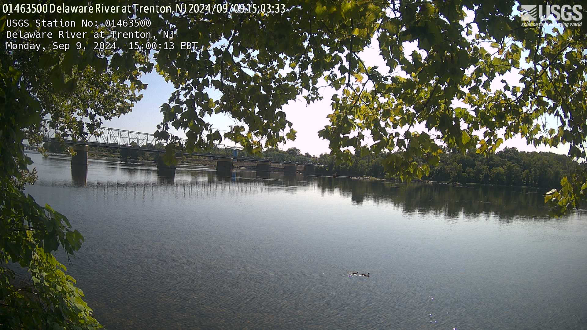
Webcam at USGS Streamgage 01463500 Delaware River at Trenton NJ.
Visit the site page to access data for this site.
Webcam at USGS Streamgage 01463500 Delaware River at Trenton NJ.
Visit the site page to access data for this site.
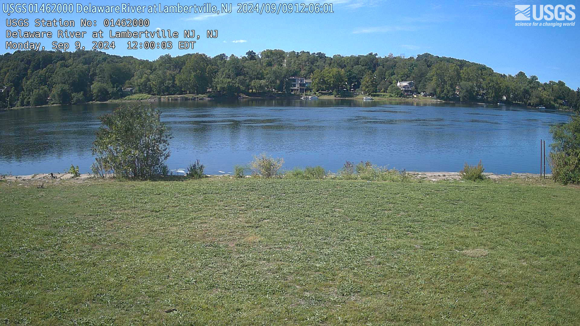
Webcam at USGS Streamgage 01462000 Delaware River at Lambertville, NJ.
Visit Water Data For the Nation to get current data for this site.
Webcam at USGS Streamgage 01462000 Delaware River at Lambertville, NJ.
Visit Water Data For the Nation to get current data for this site.
Webcam at USGS Streamgage 01437500 Neversink River at Godeffroy, NY.
Visit Water Data For the Nation to get current data for this site.
Webcam at USGS Streamgage 01437500 Neversink River at Godeffroy, NY.
Visit Water Data For the Nation to get current data for this site.
Briefing sheet for the Next Generation Water Observing System—Delaware River Basin pilot.
Below are publications associated with the USGS Next-Generation Water Observing System (NGWOS).
Water priorities for the nation—The U.S. Geological Survey next generation water observing system
Water priorities for the Nation—USGS Integrated Water Science basins
Water priorities for the Nation—U.S. Geological Survey Integrated Water Availability Assessments
Below are data or web applications associated with the USGS Next-Generation Water Observing System (NGWOS).
How We Model Stream Temperature in the Delaware River Basin
Neural networks are powerful deep learning models that help us make accurate environmental predictions. This data visualization describes how to train an artificial neural network, and how the USGS uses them to make physically-realistic predictions with less data.
Water science and management in the Delaware River Basin (data visualization story)
The Delaware River supports thriving ecosystems and drinking water for 16 million people. How water is shared, and the quality of that water, has been the focus of decades of inter-state discussion, negotiation, and research. This data visualization story uses streamflow, salinity, and temperature to show how new USGS science and monitoring can inform water management in this age of cooperation.
Delaware River Dashboard
Created for the Office of the Delaware River Master and supporting the USGS Next Generation Water Observing System Delaware River pilot, the Delaware River Dashboard shows provisional real-time water data collected at USGS observation stations in context with weather-related data from other public sources.
Below are news stories associated with the USGS Next-Generation Water Observing System (NGWOS).