U.S. flag

An official website of the United States government

Earth Resources Observation and Science (EROS) Center

At the USGS EROS Center, we study land change and produce land change data products used by researchers, resource managers, and policy makers across the nation and around the world. We also operate the Landsat satellite program with NASA, and maintain the largest civilian collection of images of the Earth’s land surface in existence, including tens of millions of satellite images.

News

EROS Interns Gain Experience, Produce Science

EROS Interns Gain Experience, Produce Science

Farms to Faucet: The Hidden Connection

Farms to Faucet: The Hidden Connection

EROS History: Archive Unveils Earth’s Secrets

EROS History: Archive Unveils Earth’s Secrets

Publications

Ranking of 10 global one-arc-second DEMs reveals limitations in terrain morphology representation

At least 10 global digital elevation models (DEMs) at one-arc-second resolution now cover Earth. Comparing derived grids, like slope or curvature, preserves surface spatial relationships, and can be more important than just elevation values. Such comparisons provide more nuanced DEM rankings than just elevation root mean square error (RMSE) for a small number of points. We present three new compar
Authors
Peter L. Guth, Sebastiano Trevisani, Carlos H. Grohmann, John Lindsay, Dean B. Gesch, Laurence Hawker, Conrad Bielski

Projected sea-level rise and high tide flooding at Biscayne National Park, Florida

IntroductionNational parks and preserves in the South Atlantic-Gulf Region contain valuable coastal habitats such as tidal wetlands and mangrove forests, as well as irreplaceable historic buildings and archeological sites located in low-lying areas. These natural and cultural resources are vulnerable to accelerated sea-level rise and escalating high tide flooding events. Through a Natural Resource
Authors
Hana R. Thurman, Nicholas M. Enwright, Michael J. Osland, Davina L. Passeri, Richard H. Day, Bethanie M. Simons, Jeffrey J. Danielson, W. Matthew Cushing

Airborne lidar accuracy analysis for dual photogrammetric and lidar sensor pilot project in Colorado, 2019

This report presents accuracy assessment results of the light detection and ranging (lidar) data collected in Colorado during a pilot project in fall 2019. The purpose of the pilot project was to assess the accuracy of lidar and imagery data collected simultaneously for the U.S. Department of Agriculture (USDA) National Agriculture Imagery Program and the U.S. Geological Survey National Geospatial
Authors
Aparajithan Sampath, Jeff Irwin, Minsu Kim

Science

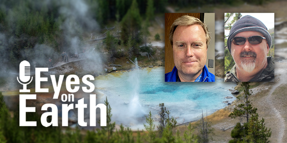
Eyes on Earth Episode 123 – Bathymetry Mapping

A satellite system designed to image land is helping fill in data gaps of underwater topography near shorelines.
link

Eyes on Earth Episode 123 – Bathymetry Mapping

A satellite system designed to image land is helping fill in data gaps of underwater topography near shorelines.
Learn More

Eyes on Earth Episode 122 – EROS Interns, 2024

What can you learn during an internship at the USGS EROS Center? A lot! Several interns talk about their experience working a summer internship at EROS.
link

Eyes on Earth Episode 122 – EROS Interns, 2024

What can you learn during an internship at the USGS EROS Center? A lot! Several interns talk about their experience working a summer internship at EROS.
Learn More

Eyes on Earth Episode 121 – Mapping the Australia Coastline

Landsat’s deep archive can reveal where coastlines are changing, even for an entire continent, especially with some clever coding to make it useful to researchers.
link

Eyes on Earth Episode 121 – Mapping the Australia Coastline

Landsat’s deep archive can reveal where coastlines are changing, even for an entire continent, especially with some clever coding to make it useful to researchers.
Learn More
Was this page helpful?