
Advanced Capabilities and Research
Advanced Capabilities and Research
USGS Rapid Deployment Gages (RDGs)
Integration of sUAS into Hydrogeophysical Studies
Binational SPARROW nutrient modeling
A joint USGS and Canadian effort to model phosphorus and nitrogen transport
A joint USGS and Canadian effort to model phosphorus and nitrogen transport
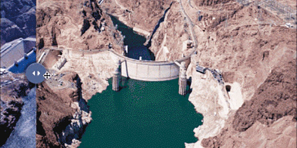
Our most advanced science supporting our mission to provide water-resource monitoring, assessment, modeling, and research to provide information and tools that managers and policymakers can use.
Hydrologic Instrumentation Facility (HIF)
Hydrologic Instrumentation Facility (HIF)

The HIF provides quality hydrologic equipment and instrumentation
Filter Total Items: 112

SPARROW modeling: Estimating nutrient, sediment, and dissolved solids transport
SPARROW (SPAtially Referenced Regression On Watershed attributes) models estimate the amount of a contaminant transported from inland watersheds to larger water bodies by linking monitoring data with information on watershed characteristics and contaminant sources. Interactive, online SPARROW mapping tools allow for easy access to explore relations between human activities, natural processes, and...

Sediment Laboratories
The USGS maintains sediment laboratories in several Water Science Centers and offices across the country.

Sediment Surrogate Techniques
USGS develops and uses “surrogate” techniques to estimate sediment at times when it can’t be physically measured through samples.

Sediment Sampling and Data Processing
USGS collects sediment samples at thousands of locations across the U.S. using nationally consistent methods.

Hydroacoustics
Since the early 1980s the USGS has worked cooperatively with manufacturers to develop and enhance the use of acoustic Doppler instruments for streamflow and other hydraulic measurements. This site provides information on hydroacoustic technology, instruments, and their use.

Integration of sUAS into Hydrogeophysical Studies: Technology Demonstration and Evaluation
The USGS is evaluating the integration of small unoccupied aircraft systems – sUAS or "drones" – into USGS hydrogeophysical studies. The following projects are part of a Water Resources Mission Area demonstration and evaluation effort in collaboration with USGS Water Science Centers (WSCs) starting in June 2018.

Data Science for Water Resources
Data scientists in the USGS Water Resources Mission Area make sense of large environmental and operational datasets by applying various modeling, statistical, and visualization techniques to generate actionable information.

Hydrologic and Erosion Responses of Burned Watersheds
The enhanced probability of catastrophic wildfires has increased our need to understand the risk of floods, erosion, and debris and contaminant transport in burned watersheds. This project investigates the relation between rainfall intensity and peak discharge; erosion and deposition processes; and water-quality impacts to minimize the loss of life and property resulting from post-wildfire floods.

Total Water Use
The USGS has estimated water use for the United States every 5 years since 1950. Estimates are provided for groundwater and surface-water sources, for fresh and saline water quality, and by sector or category of use. Estimates have been made at the State level since 1950, and at the county level since 1985. Water-use estimates by watershed were made from 1950 through 1995, first at the water...

Trends in Water Use
Total withdrawals for all categories of use in 2015 were estimated to be 322 billion gallons per day (Bgal/d), a level of withdrawal not reported since before 1970. Total withdrawals in 2015 were 9 percent less than in 2010, continuing a sharp but steady downward trend since 2005. Freshwater withdrawals were also 9 percent less than in 2015.

Surface-Water Use
Surface-water sources include streams and rivers, lakes and reservoirs, and oceans. For the purposes of the USGS water-use reports, surface water with less than 1,000 milligrams per liter (mg/L) of dissolved solids is considered freshwater, and the remainder is considered saline. Surface-water resources are often evaluated by watershed. The most recent USGS water-use estimates by watershed are in...

Groundwater Use
Groundwater refers to all subsurface water, specifically that part of groundwater which is in the saturated zone. Groundwater sources are called aquifers: geologic formations that contain sufficient saturated permeable material to yield significant quantities of water to wells and springs. For the purposes of the USGS water-use reports, groundwater with less than 1,000 milligrams per liter (mg/L)...