



Advanced Capabilities and Research
Advanced Capabilities and Research
USGS Rapid Deployment Gages (RDGs)
Integration of sUAS into Hydrogeophysical Studies
Binational SPARROW nutrient modeling
A joint USGS and Canadian effort to model phosphorus and nitrogen transport
A joint USGS and Canadian effort to model phosphorus and nitrogen transport
Our most advanced science supporting our mission to provide water-resource monitoring, assessment, modeling, and research to provide information and tools that managers and policymakers can use.
Hydrologic Instrumentation Facility (HIF)
Hydrologic Instrumentation Facility (HIF)

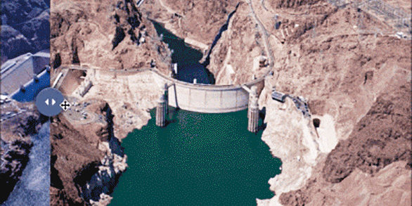
The HIF provides quality hydrologic equipment and instrumentation
Filter Total Items: 112

Irrigation Water Use
Throughout the world, irrigation (water for agriculture) is essential for keeping fruits, vegetables, and grains growing to feed the world's population. In addition, irrigation can alleviate crop stress from droughts, decrease soil erosion, and can reduce water pollution. USGS scientists provide estimates of irrigation water use to help water managers make informed decisions.

Integrated Water Science Basins: Willamette River
The Willamette River Basin reflects the conflicting water demands between humans and ecosystems—particularly salmon— and the challenge resource managers face throughout the Pacific Northwest.

Centennial Streamgages
Centennial Streamgages are USGS streamgages that have been in operation for more than 100 years.

Water Data Visualizations
Water data visualizations are provocative visuals and captivating stories that inform, inspire, and empower people to address our Nation's most pressing water issues. USGS Vizlab is a group of data science and visualization experts who use visualizations to communicate water data in compelling and often interactive ways when static images or written narrative can’t effectively communicate the...

SPARROW modeling: Estimating nutrient, sediment, and dissolved solids transport
SPARROW (SPAtially Referenced Regression On Watershed attributes) models estimate the amount of a contaminant transported from inland watersheds to larger water bodies by linking monitoring data with information on watershed characteristics and contaminant sources. Interactive, online SPARROW mapping tools allow for easy access to explore relations between human activities, natural processes, and...

USGS Flood Information
The USGS collects real-time flood data and conducts flood science to help keep communities safe before, during, and after a flood.
Flood Inundation Mapping Science
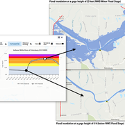
When planning for a flood, there are three key questions that must be answered: What areas will be flooded? How deep will the floodwaters get? When will the flood arrive? A flood inundation map library is a set of maps that together show where flooding may occur – and how deep it may be - over a range of potential flooding scenarios in a stream or river.
Flood Inundation Mapping (FIM) Program
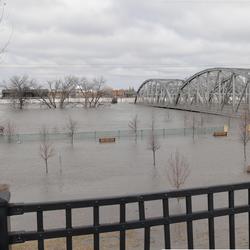
The USGS Flood Inundation Mapping (FIM) Program helps communities protect lives and property by providing tools and information to help them understand their local flood risks and make cost-effective mitigation decisions.
High-Water Marks
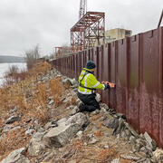
High-water marks are like footprints left behind by a flood — they show how high the water reached during a flood event. High-water marks serve as valuable data points for both educational purposes and scientific research, helping us understand past and recent flood events. Collecting this information is an essential and time-sensitive task for understanding flood risk and improving public safety.

Assessing the effects of mining on the Transboundary Koocanusa Reservoir
The Kootenai River Watershed is an international resource cooperatively managed by the U.S., Canada, and Tribal governments. In recent years, coal mining in the Canadian portion of the watershed has resulted in elevated concentrations of several constituents, including selenium, nitrate, and sulfate downstream (Storb et al., 2023). At increased levels, these mining byproducts can affect water...

Federal Priority Streamgages (FPS)
Federal Priority Streamgages (FPS) are automated stations that monitor water conditions in streams and rivers throughout the country. Originally established in 1999, these are important for meeting specific long-term needs of the Nation. The FPS Network was recently re-prioritized which resulted in size of the network increasing to nearly 12,400 locations.

Climate Response Network
The USGS groundwater Climate Response Network is a national network of wells selected to monitor natural groundwater-level conditions in unconfined or near-surface confined aquifers that are minimally affected by pumping or other human-induced stresses.